We awoke shortly after 7 AM, got cleaned up, organized, and packed up the car. The AirBnB was pretty small, and wasn’t far from the highway, but there was very little noise during the evening so everyone slept well. The AirBnB actually looked like it used to be a gas station, which was a bit amusing, but it was cozy and enjoyable. We didn’t have any food with us, so the first order of business was to find something to eat and find some gas for the car. There was a lot of driving ahead of us, and we wanted to make sure the car had a full tank.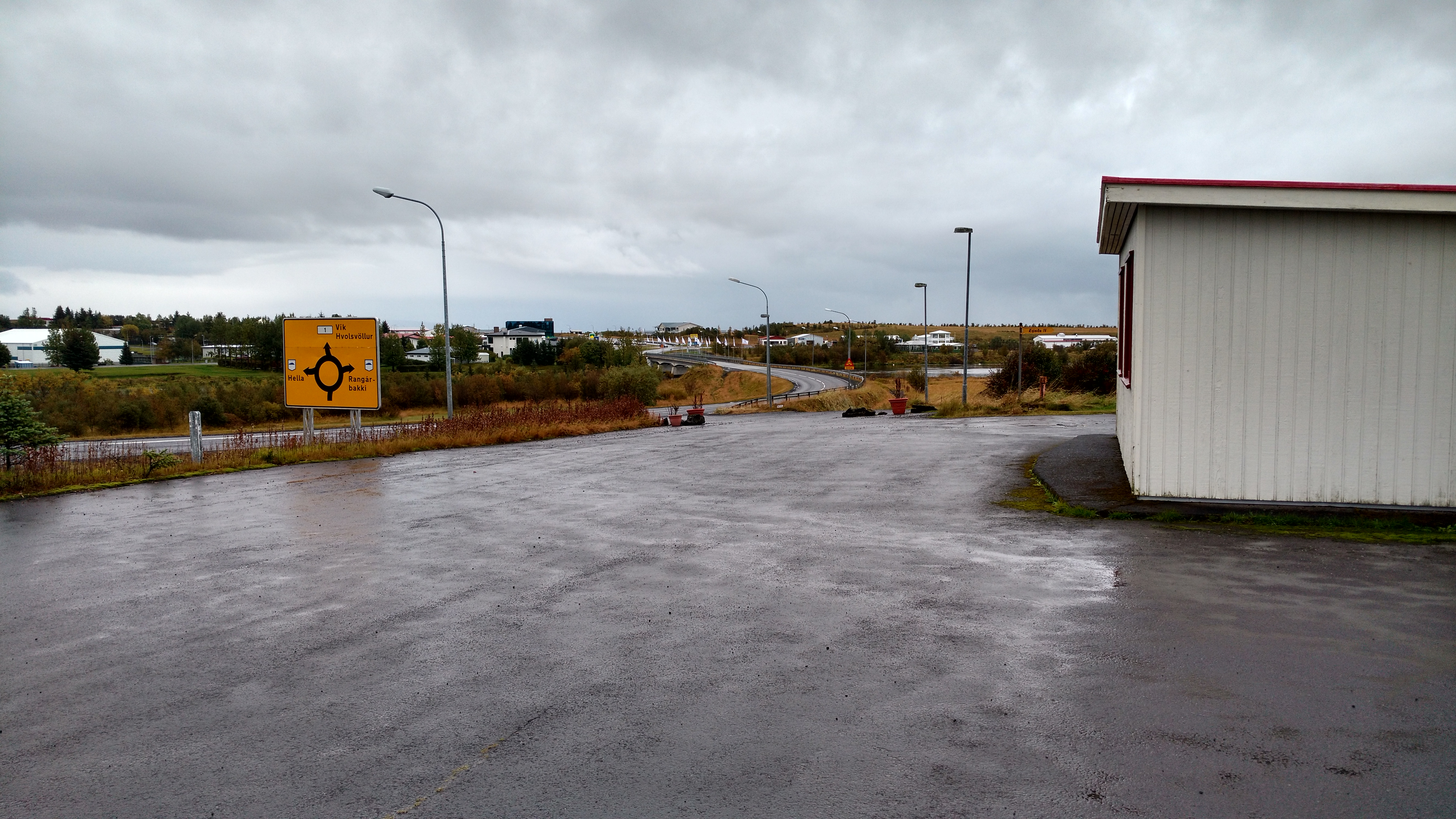
The view from our AirBnB
The town of Hella had a gas station right beside a small grocery store, so while Dave filled up the car the rest of us went inside and picked up some food for breakfast as well as some snacks for the road. We ended up eating a simple breakfast of pastries, yogurt, orange juice and bananas in front of the grocery store, then got into the car and started the day. It was overcast and slightly raining out, but the rain wasn’t hard enough to leave us wet.
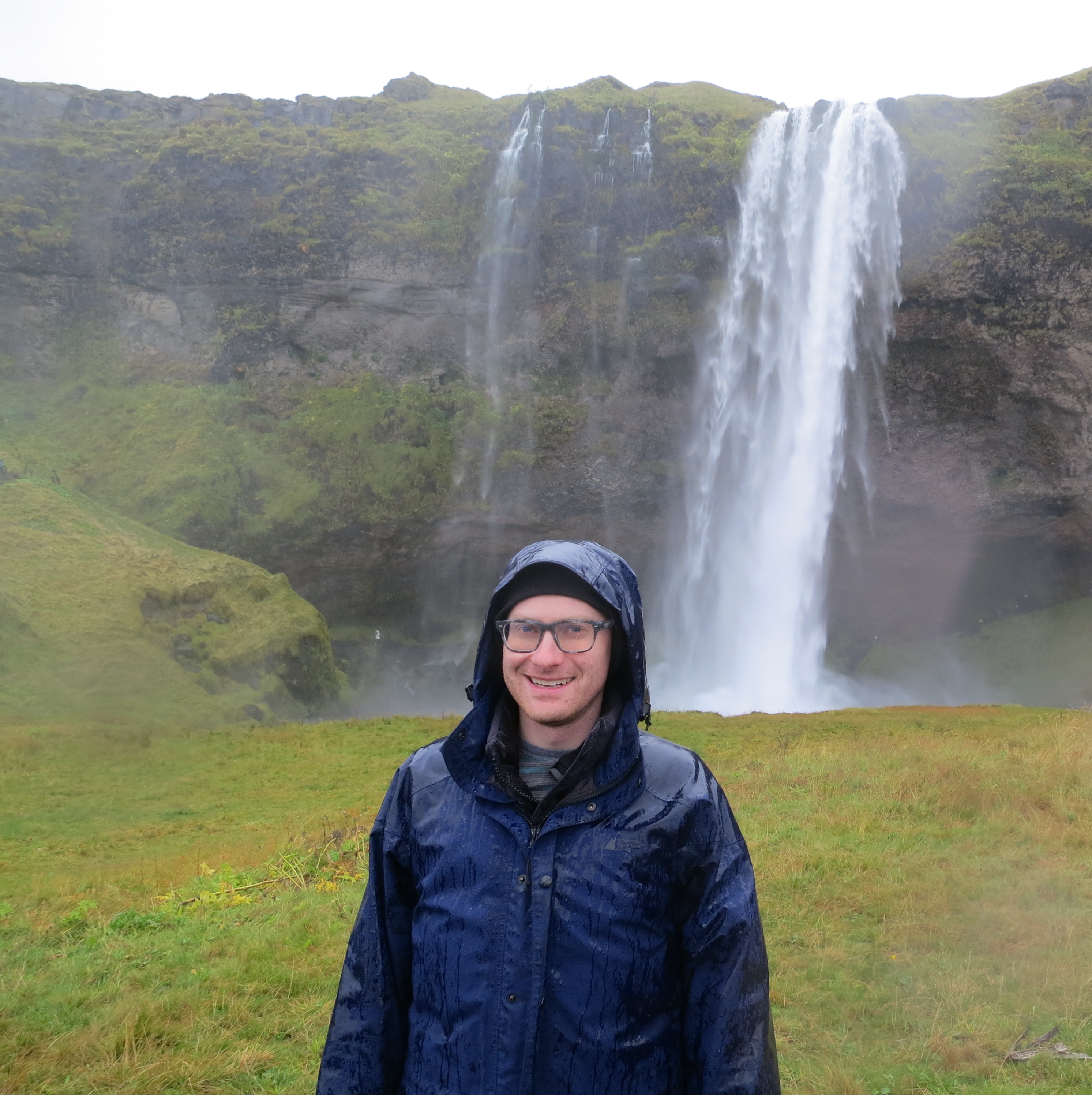
The first site we visited was the Seljalandsfoss waterfall, and it was only a 30 minute drive from Hella. This waterfall is unique due to the walking path which goes behind the waterfall, giving you a 360° perspective of the falls (and the opportunity to get wet from the spray). We got some good photos and enjoyed the walk around, however the rain was absolutely pouring down when we parked so everyone got super wet before we even got to see the waterfall. Normally they warn you that walking behind the waterfall may get you wet, however the rain was so heavy that by the time we got behind the waterfall we found that the cliff overhang provided us cover that kept us from getting much wetter. We got back in the car and quickly cranked the AC to help us start to dry off.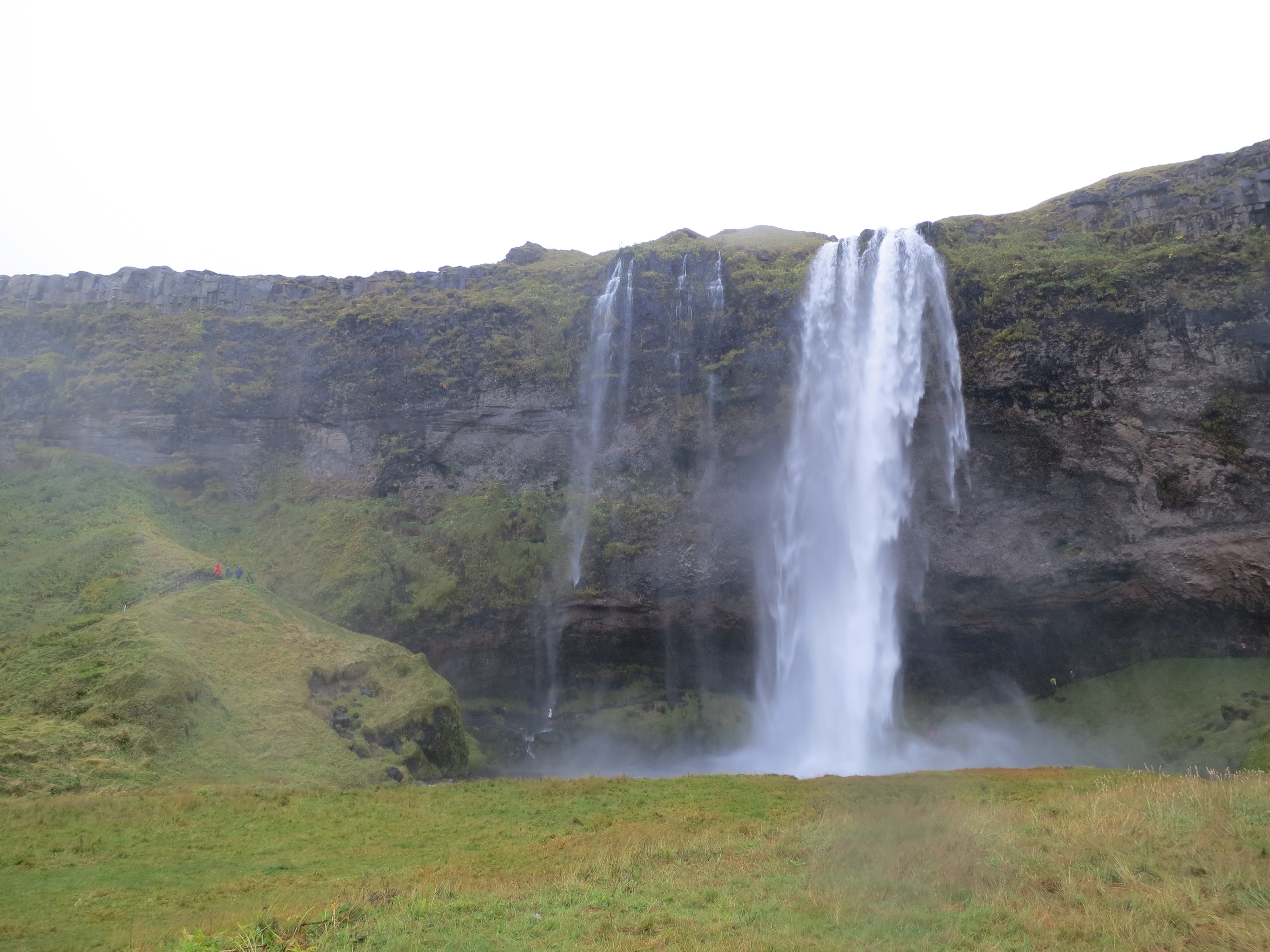
Seljalandsfoss. The path is visible to the right
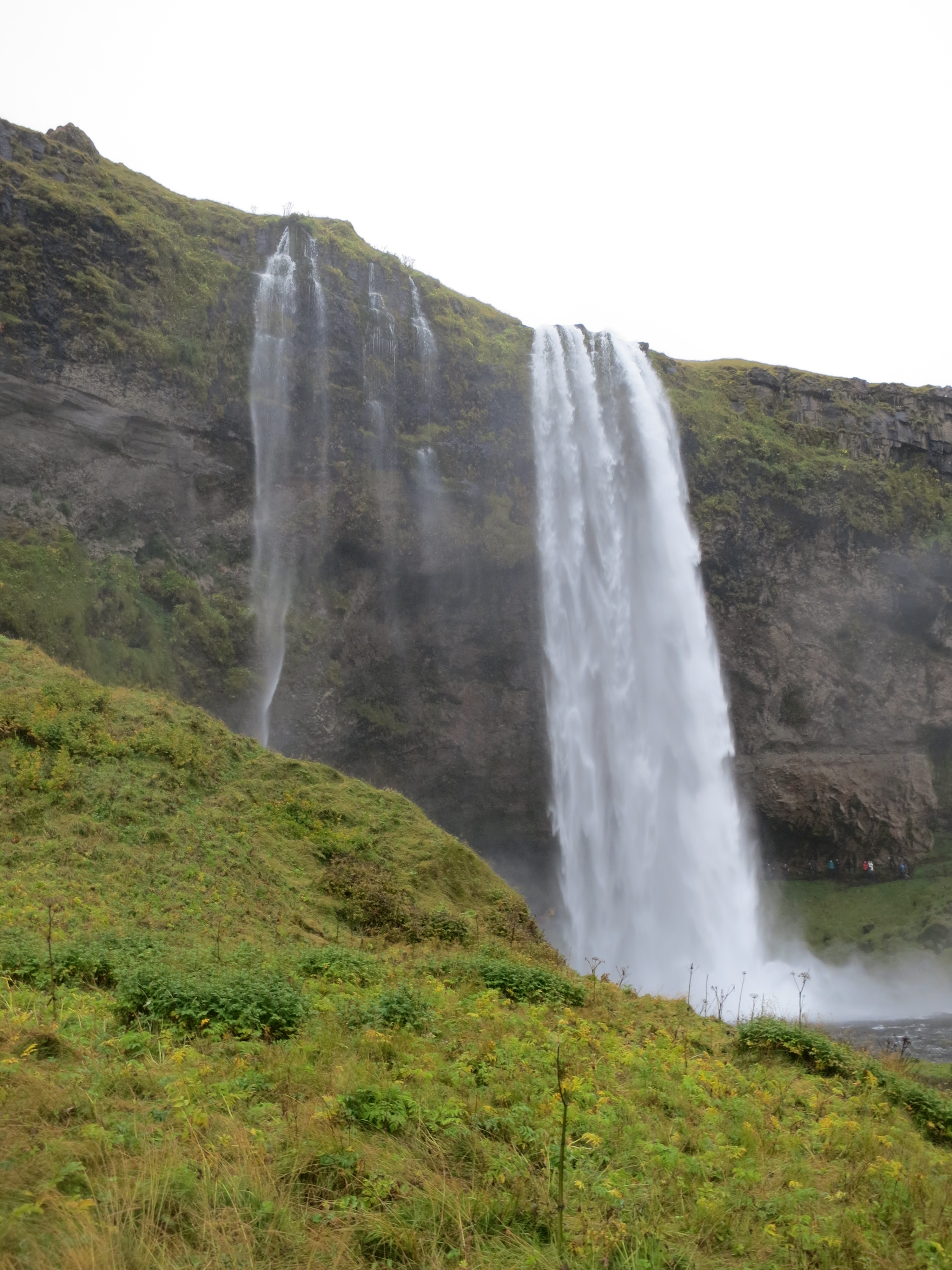
A view from the side
It was pretty rainy at this point
We continued driving along the ring road, Highway 1, and after a quick 20 minute drive found ourselves at the foot of the Eyjafjallajökull volcano. This volcano is notable in that it caused, during it’s 2010 eruption, an almost complete halt to air travel between North America and Europe due to the huge ash cloud it produced. There was a parking lot on the side of the road that allowed us to capture a few photos. The rain had stopped at this point, so we were able to stand outside and allow the breeze to help dry us off a bit as well. After about 15 minutes we packed back into the car and continued.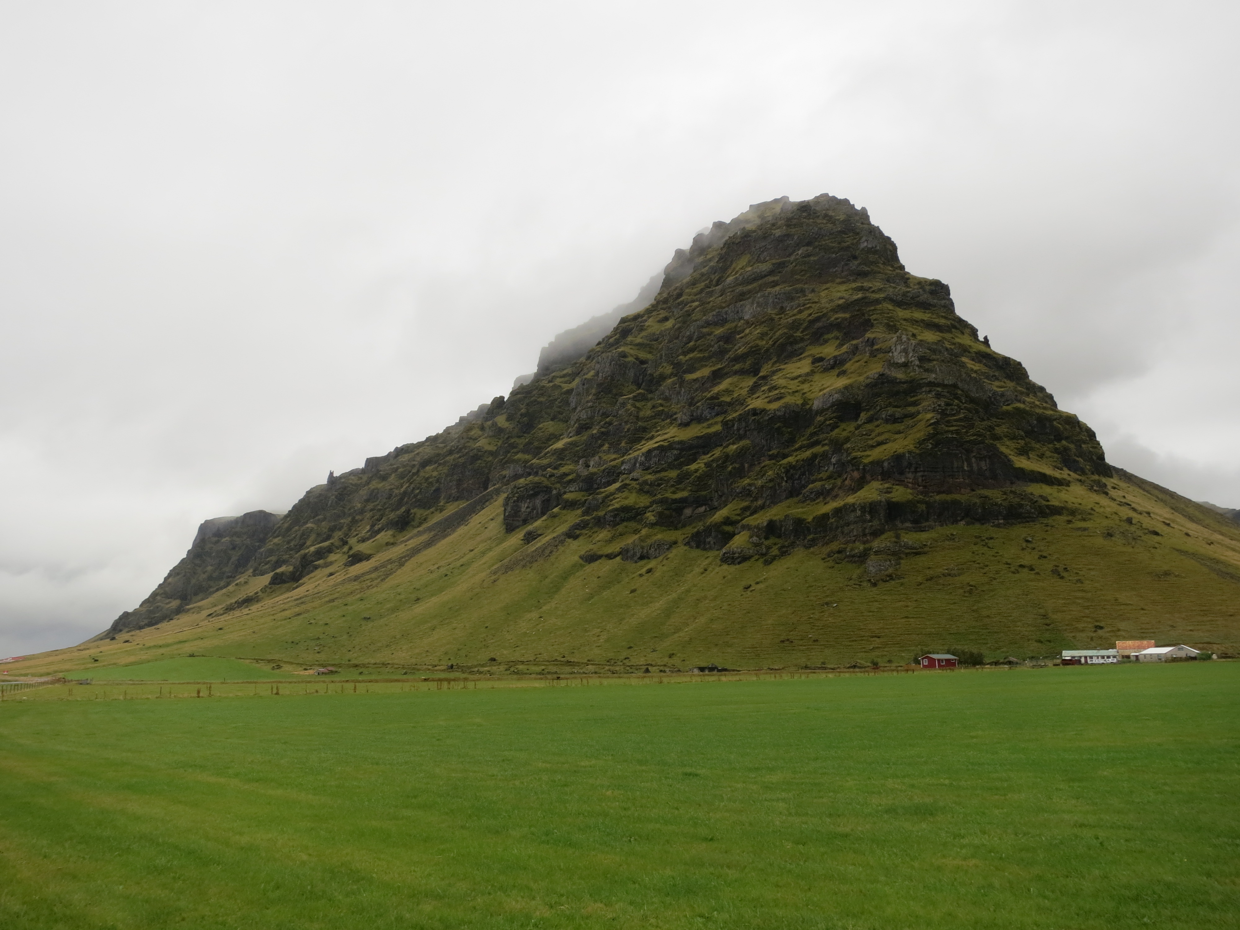
The volcano
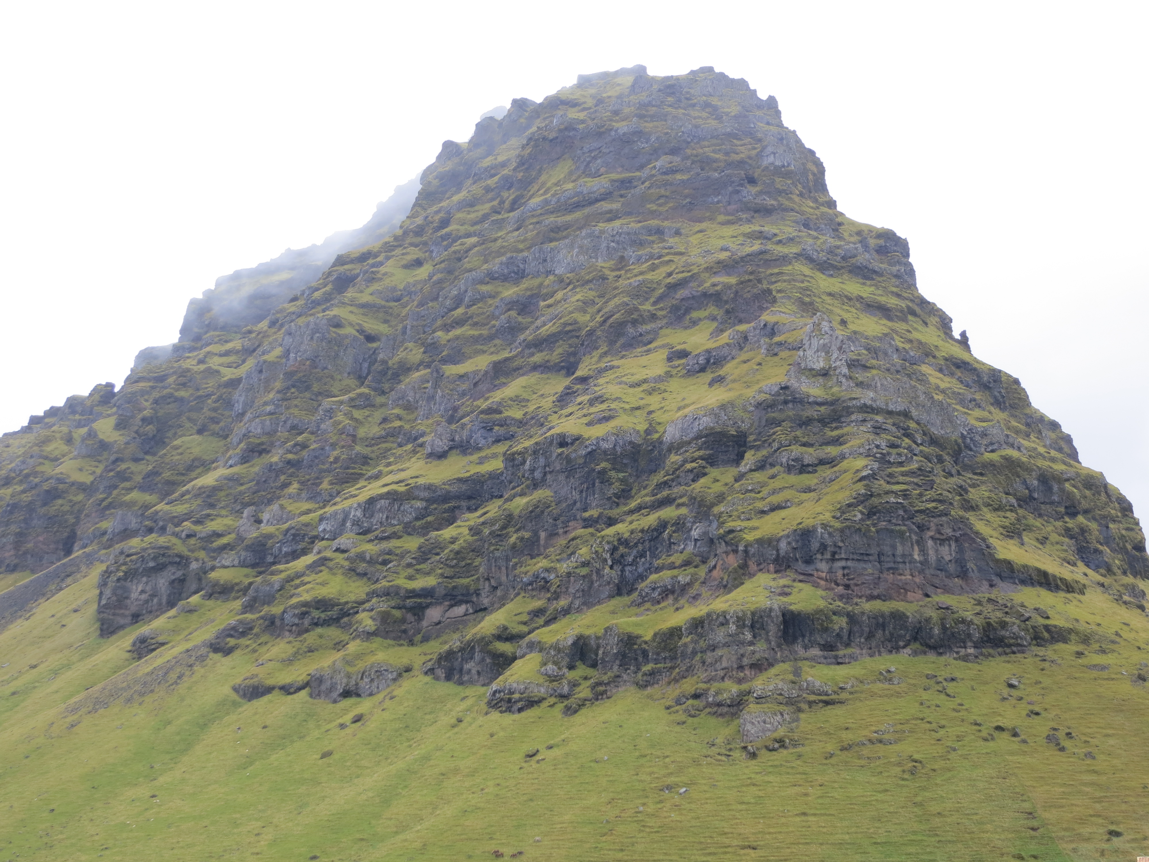
The volcano, up close
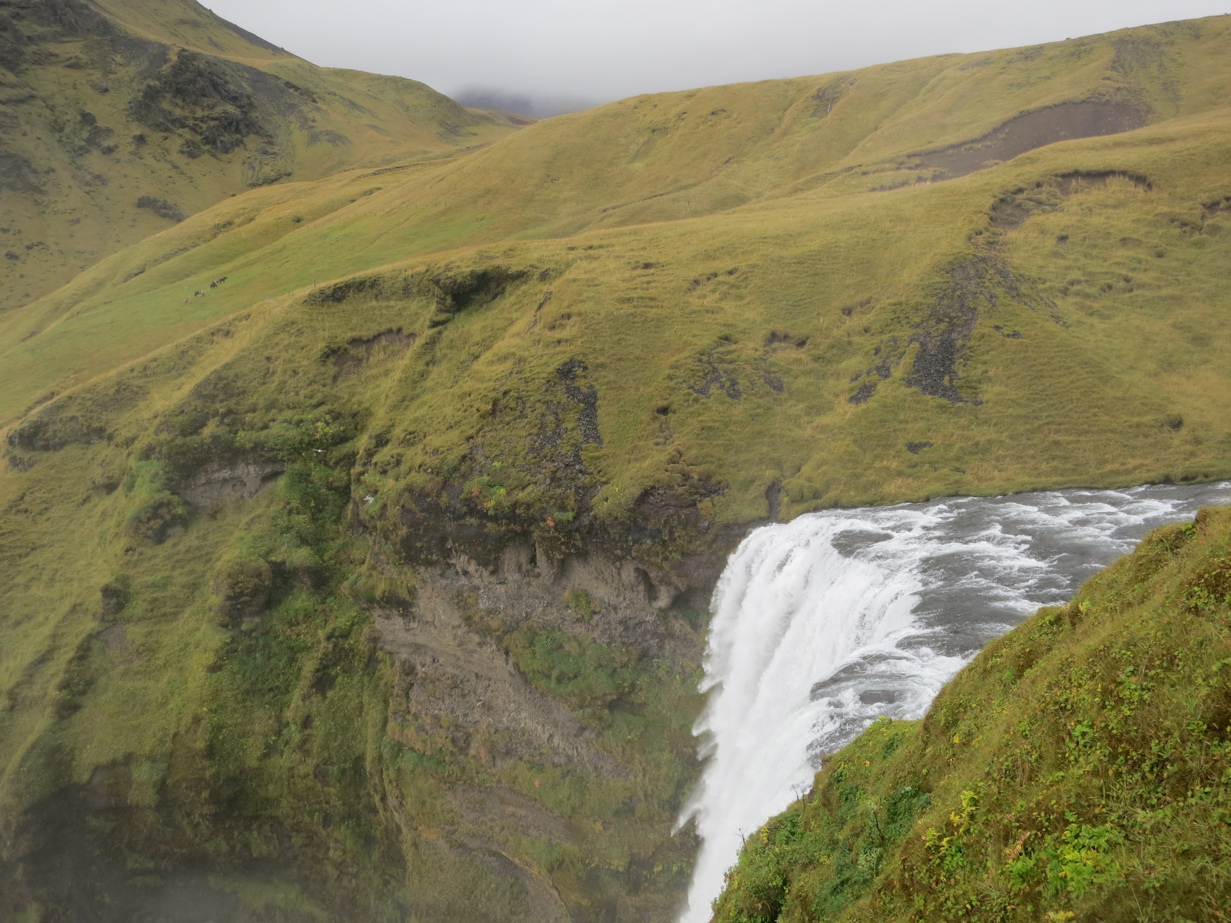
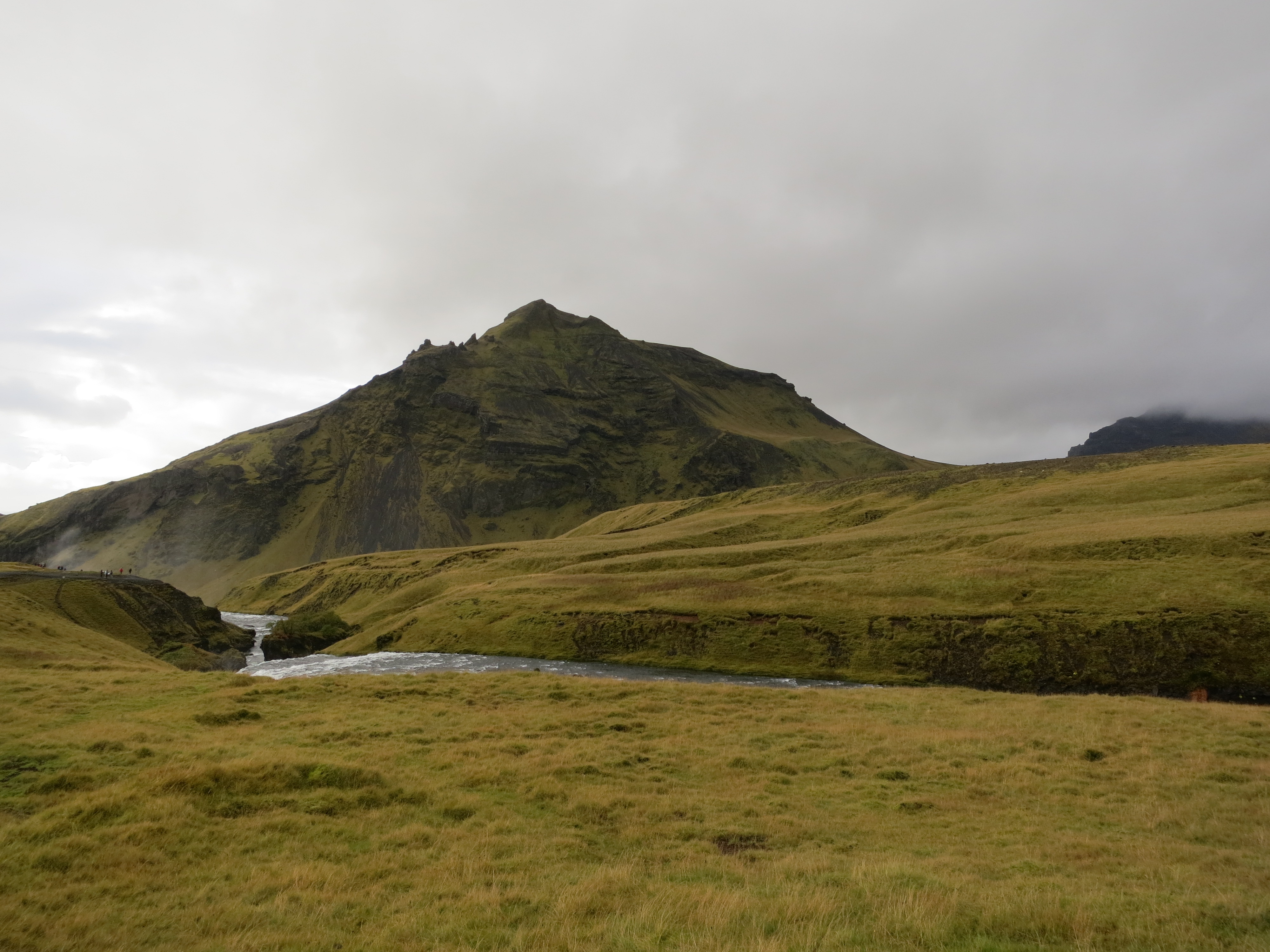
The next stop, the Skógafoss waterfall, was a short 15 minute drive along the ring road. We got out of the car to grey but dry skies, and started walking towards the waterfall, however the rain picked up just after we left the car, so we turned around and diverted to the visitor centre for a quick lunch. We had a small lunch in the visitor centre, and by the time we had finished eating the weather had cleared, and we continued our walk up to the waterfall. Instead of going to the base of the waterfall, we climbed a set of stairs to reach the top. This gave an impressive view both of the waterfall and of the coast, which was just a short distance away.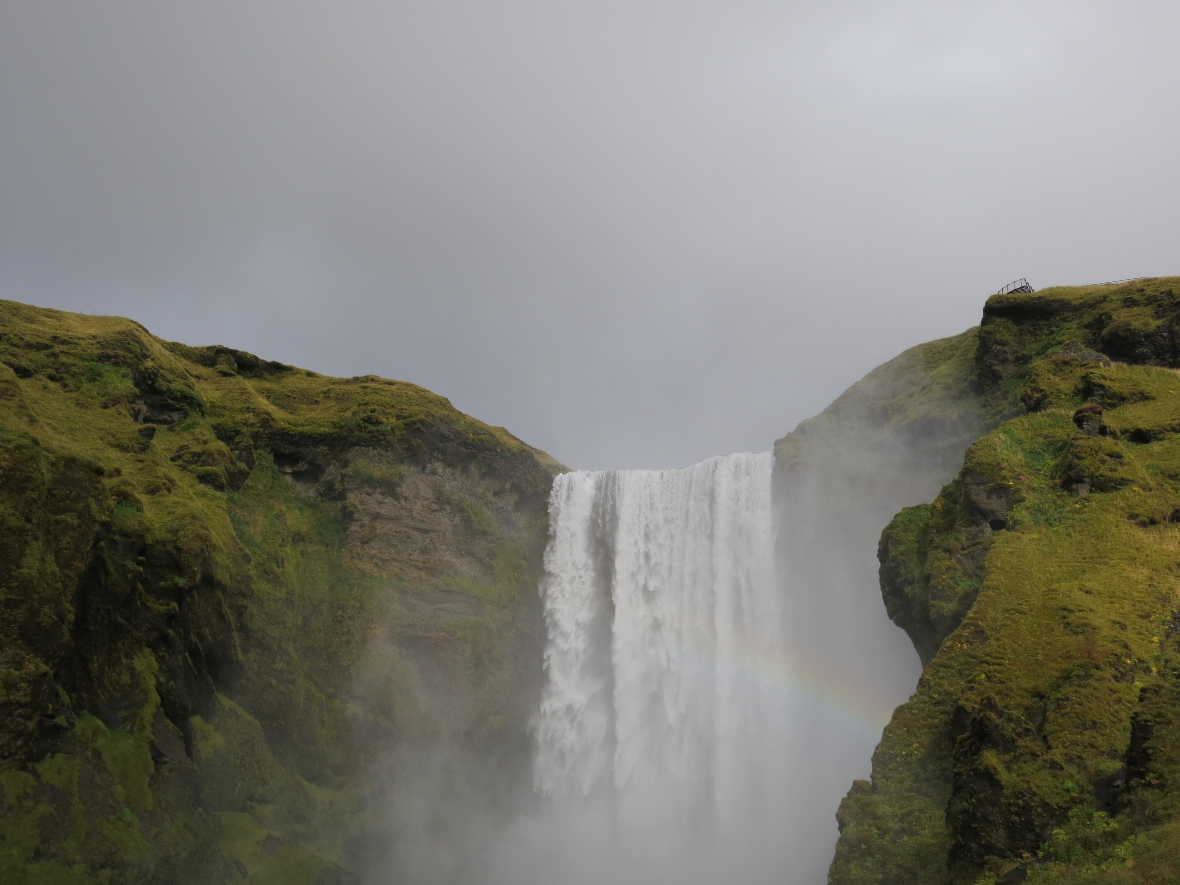
Skógafoss from the base, with a rainbow on the right
The river ends pretty abruptly
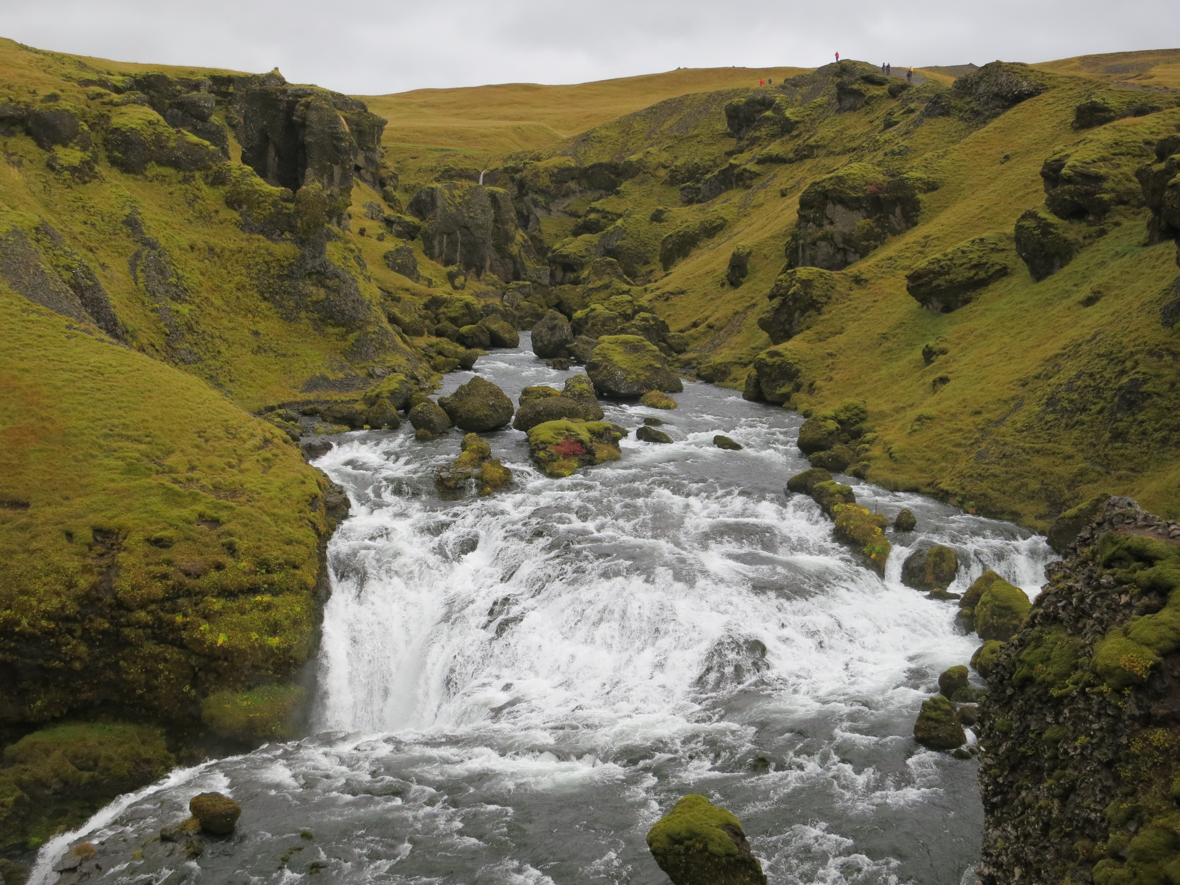
The Skógafoss waterfall has a trail which follows the Skógá river, and we followed this trail for a couple of kilometres. There were a number of rapids and small waterfalls which we captured some fantastic photographs of. We didn’t plan on spending too much time at this stop, however, so we enjoyed the view for a bit then returned to the car. On the way we quickly stopped and snapped a few photos of the base of the waterfall.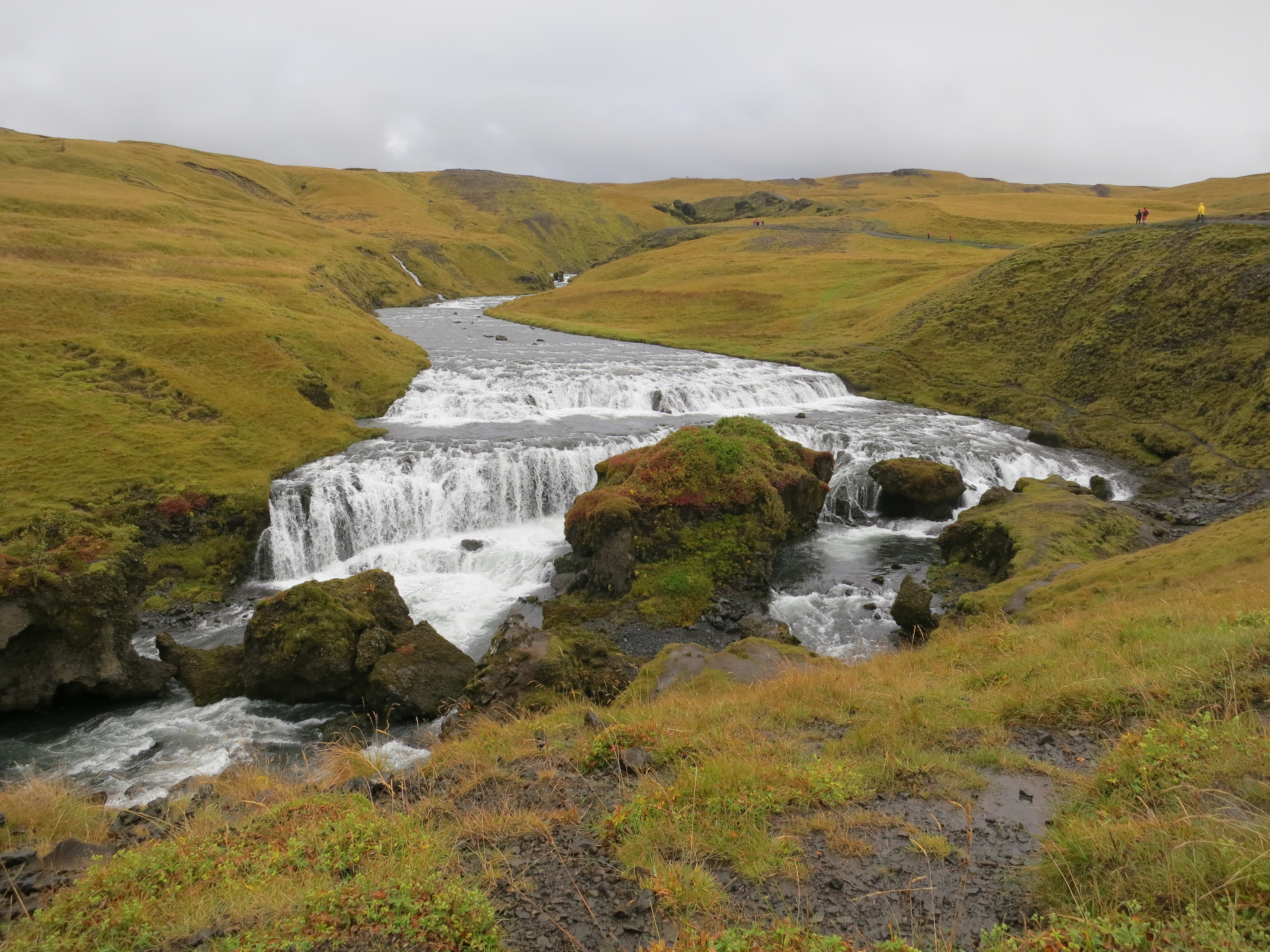
Small waterfall on the Skógá river
Another small waterfall
Looking back along the river. The final waterfall is visible at the left
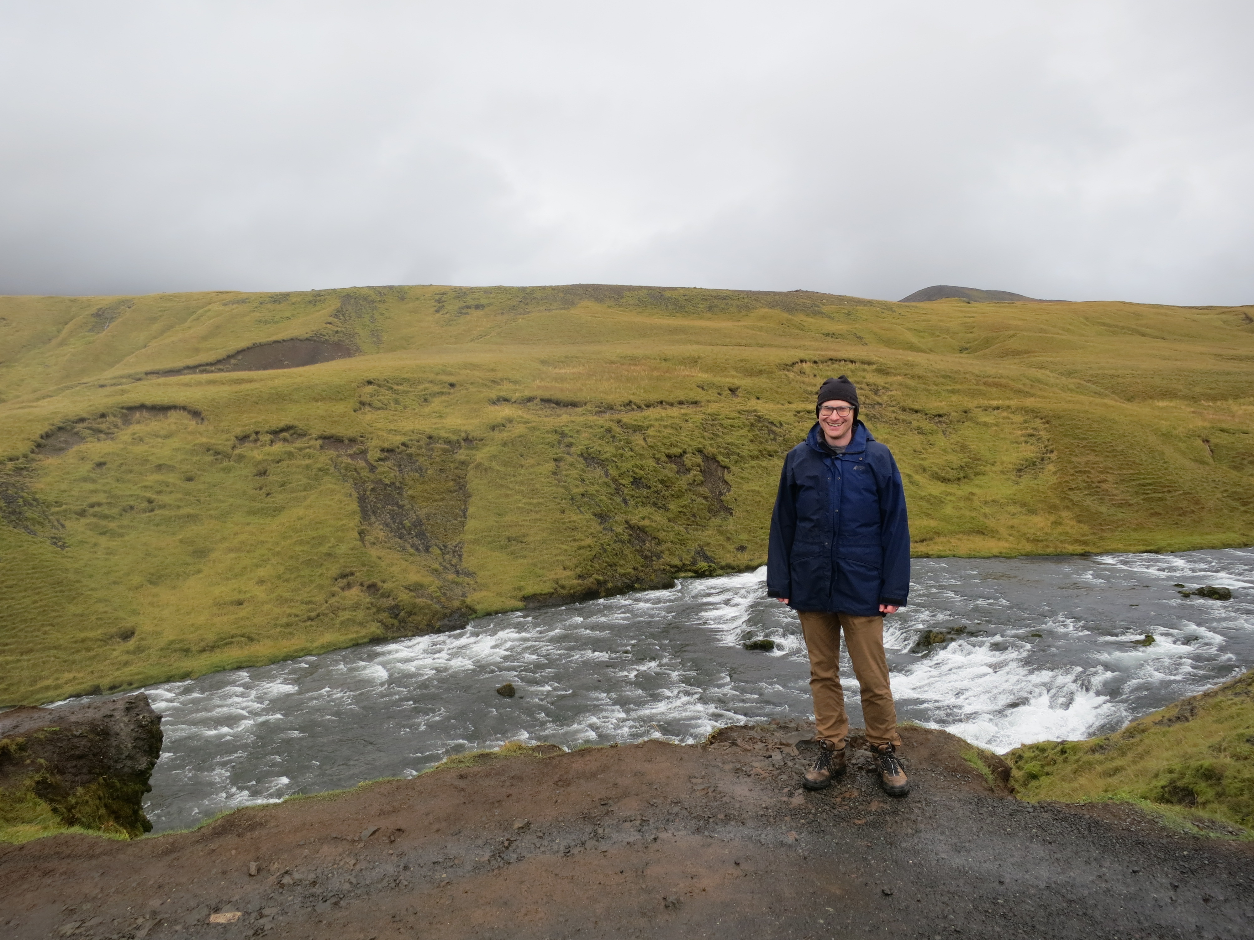
Me, with rapids leading to the waterfall behind
The trip continued along Highway 1 for another 10 minutes before we reached the parking lot of the Sólheimasandur plane wreck. In 1973, a U.S. Navy DC-3 crash-landed on the beach in Sólheimasandur. The crew survived, however the U.S. Navy chose not to recover the wreck, so it remains on a black sand beach not far from the water. The walk from the parking lot to the plane fuselage took just under an hour; after spending about 10 minutes taking photos of the wreck we walked to the ocean to touch the surf for ourselves. The walk to the plane was mostly uneventful, except for an intense 5 minute rainstorm which blew through. The walk back was similarly uneventful, except for a similar 3-minute rainstorm. Luckily it was quite windy, so by the time we had gotten back to the car we were mostly dry once again. Thick base layers and a good waterproof shell on the torso were key - our legs were able to dry and we didn’t find ourselves getting cold since our core didn’t get wet.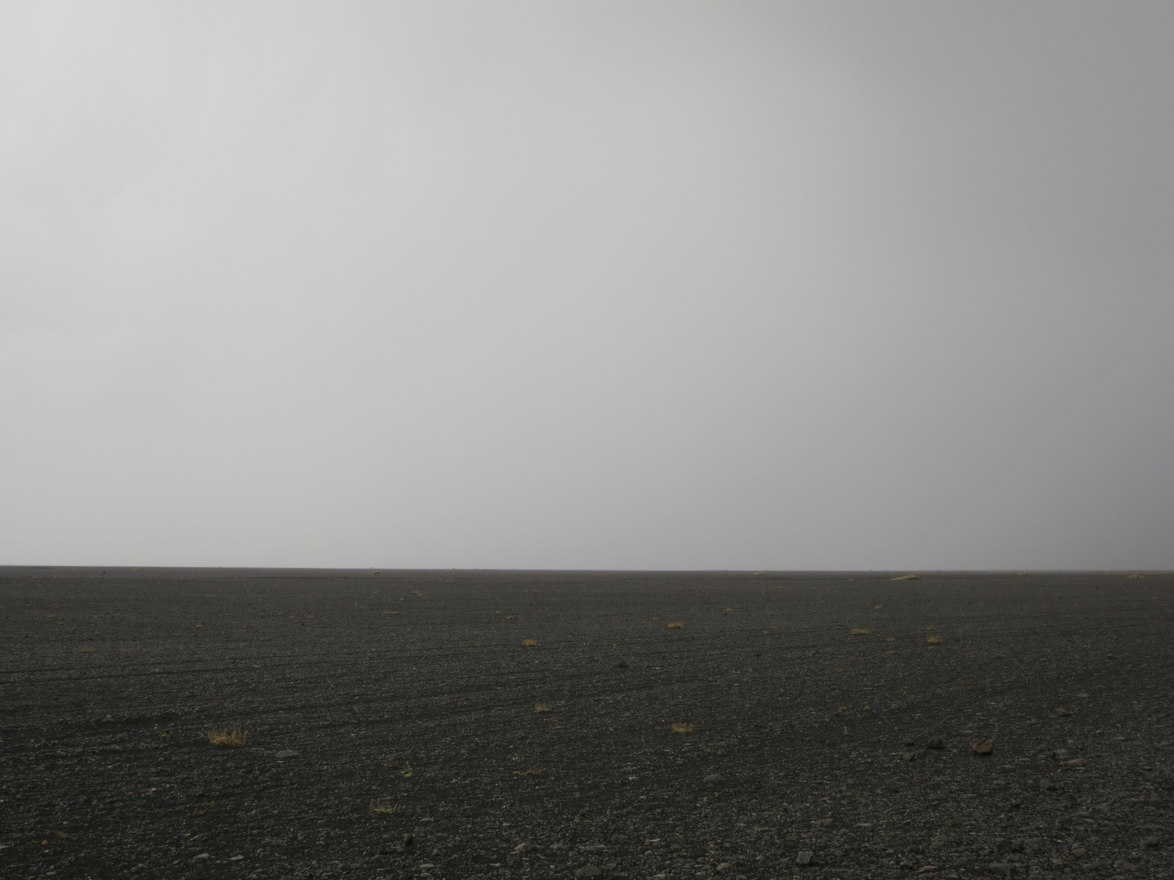
The walk to the beach was pretty barren
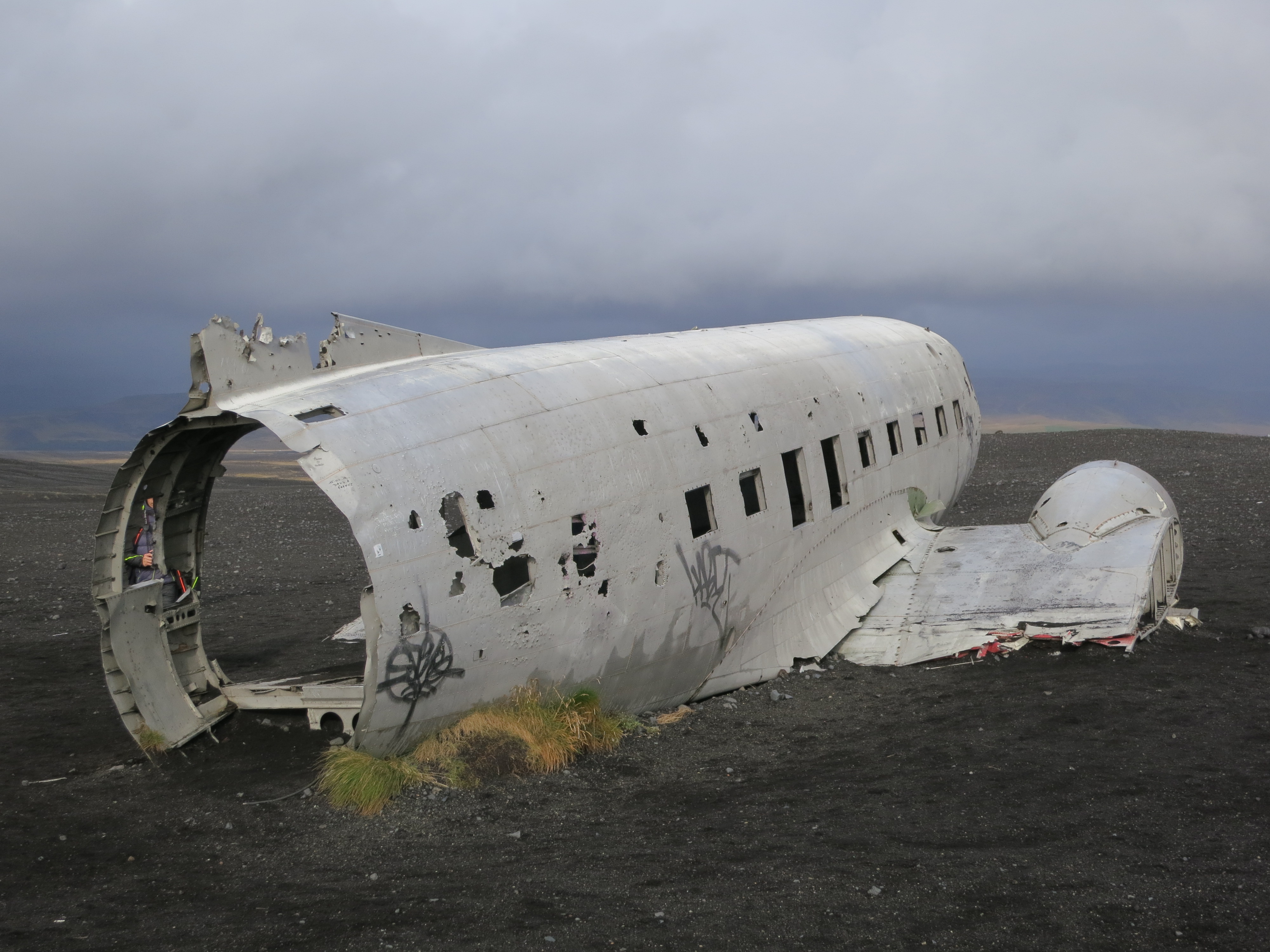
The plane is in rough shape
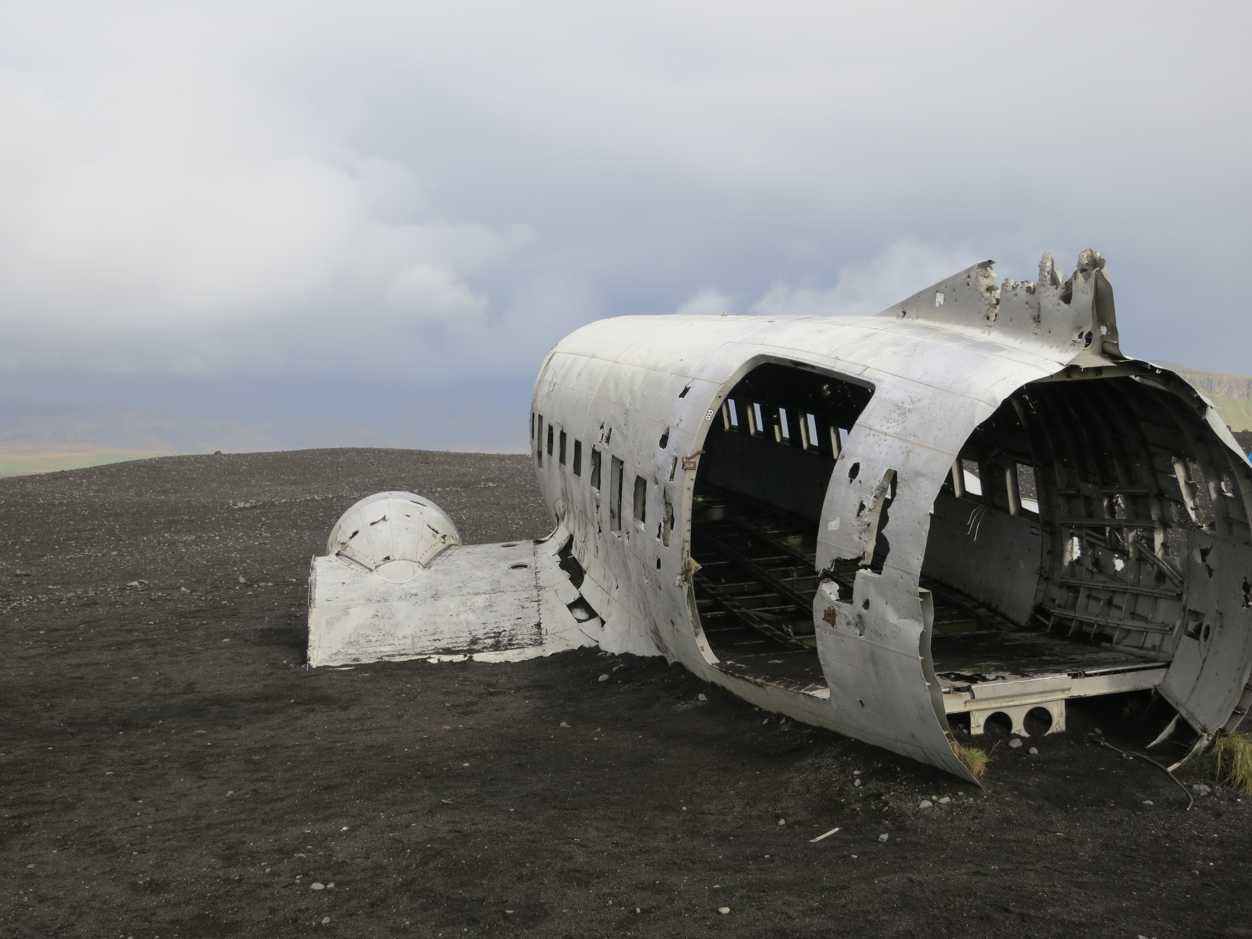
Not taking off again anytime soon
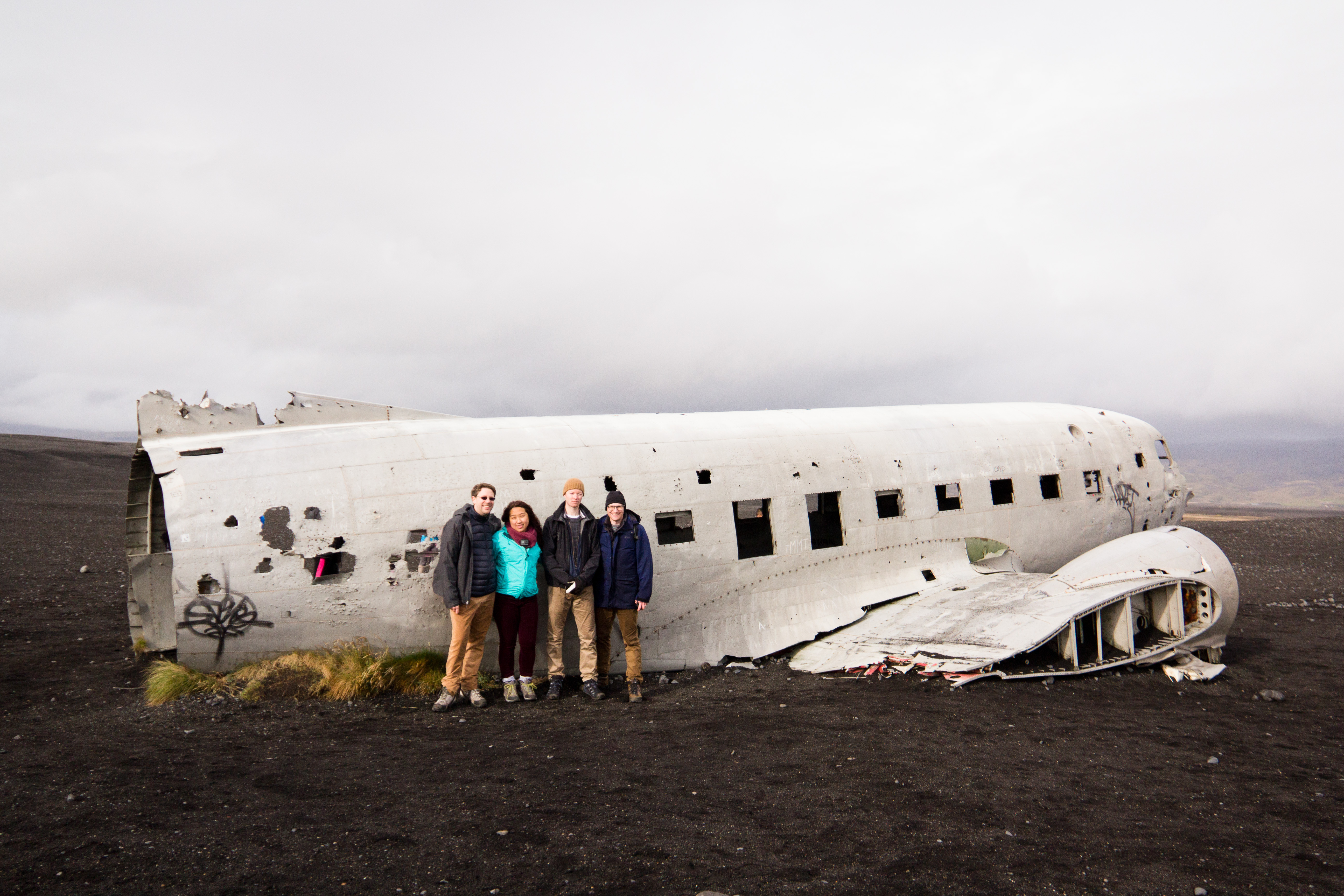
Chris, Susan, Dave and I
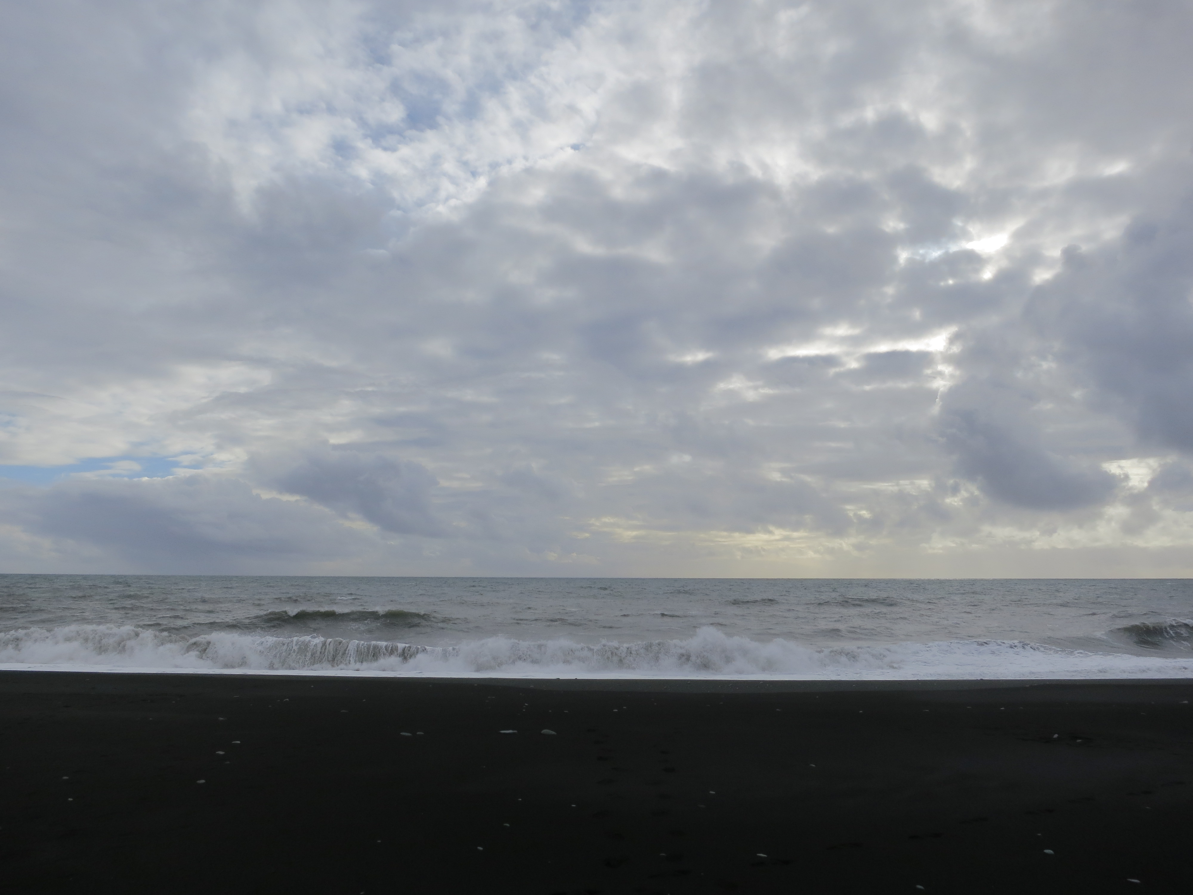
The black sand, the surf, and the sky
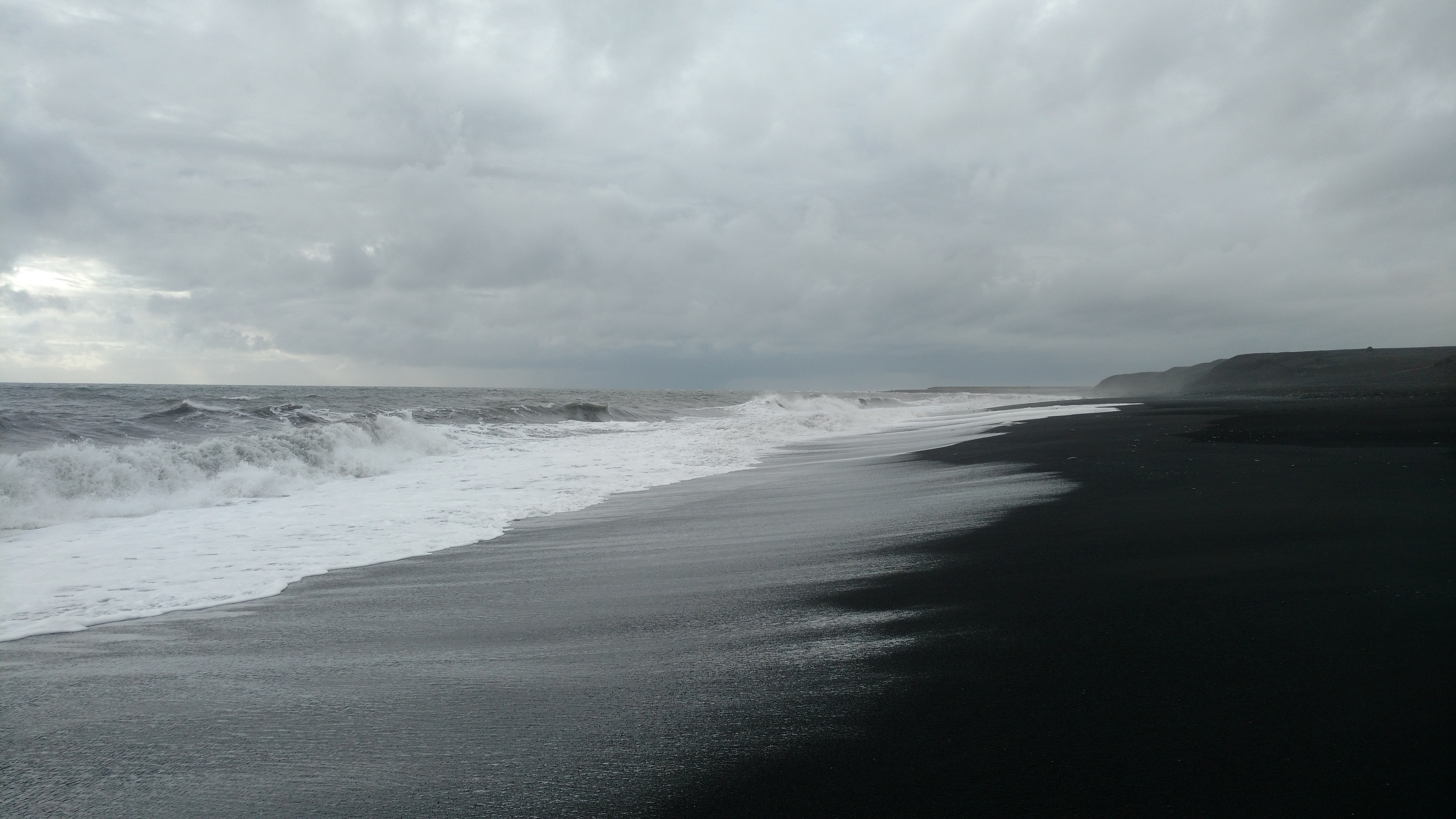
The beach
The plane wreck was the last site we visited; after leaving the parking lot we got back on the ring road and continued driving towards our stop for the night, the Guesthouse Vellir near Vík. We checked into a gorgeous little cabin just as the rain was starting, however none of the luggage got wet as we unloaded the car. We had decided to do dinner out, so we drove into Vík and had dinner at the Suður-Vík restaurant. I had a delicious fish meal. After dinner we drove back to the cabin and spent a few hours relaxing, having a couple drinks, and playing some games. We were all exhausted by around 11, and called it a night shortly thereafter.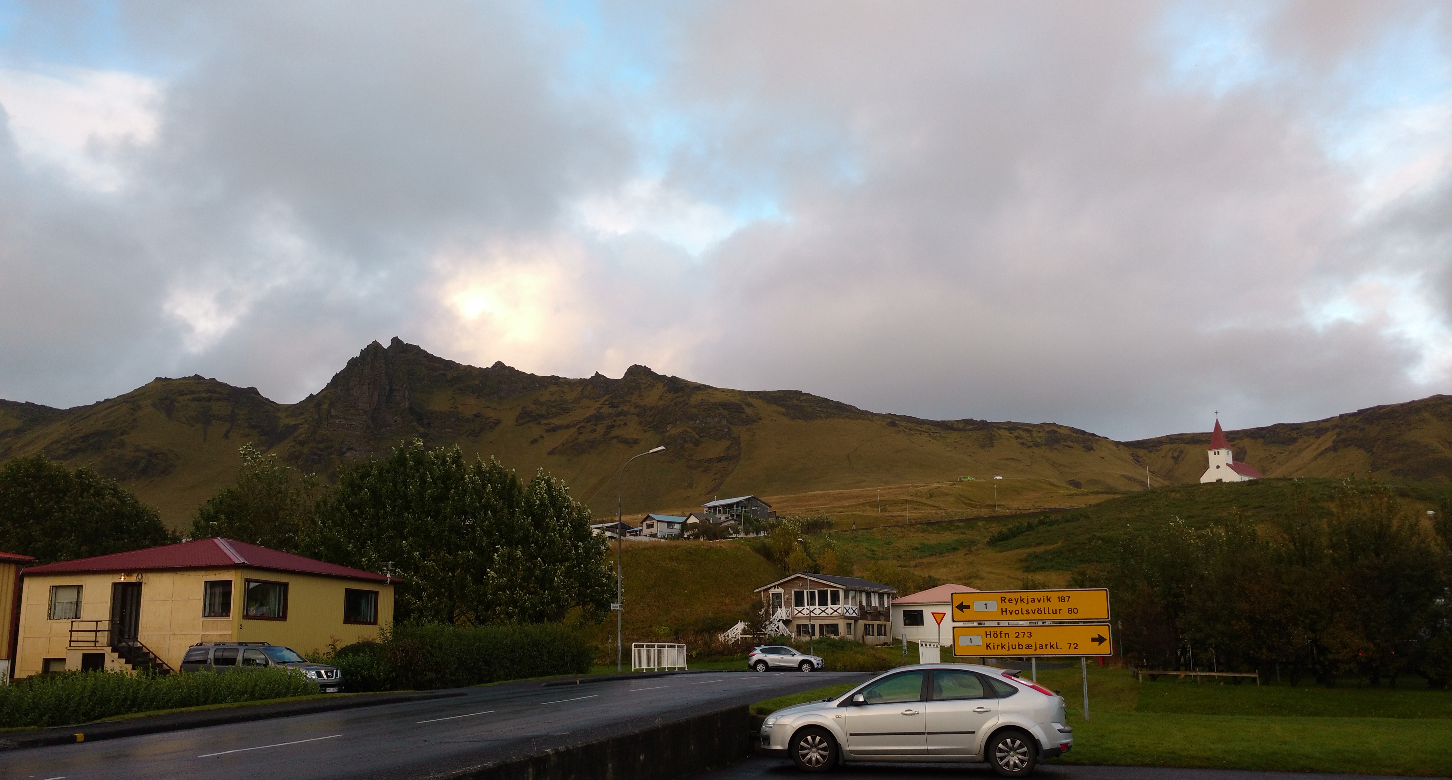
Vik