The day began with dry and slightly overcast conditions around 8:00 AM; we packed up the car then had a quick continental breakfast in the main guesthouse building. The first stop of the day was at the Dimmuborgir lava formations, the last of the sites we were going to see at Lake Mývatn. The lava formations were a short drive from the guesthouse, and once we arrived we started out on a walk around the area. There were a number of walking paths; we chose a path that took us about 1 hour to complete. The walk provided us with a number of beautiful views of the lava towers which had formed when the area was covered with water. These formations are apparently unique to this area - the only other places similar structures have been found are underneath the ocean off the coast of Mexico. It was a beautiful morning, and the fall colours of the trees in the area only added to the beauty of the walk.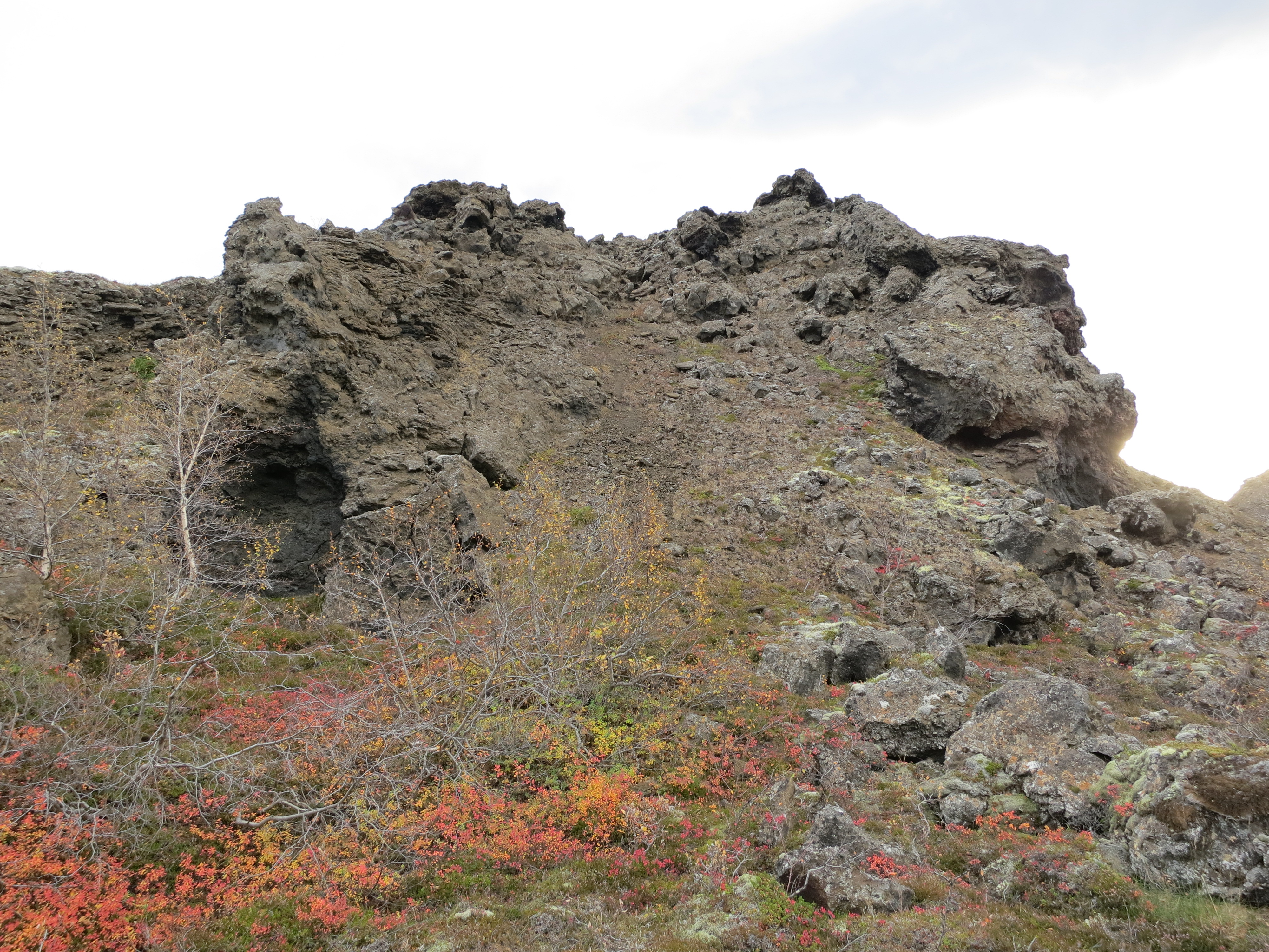
A lava formation
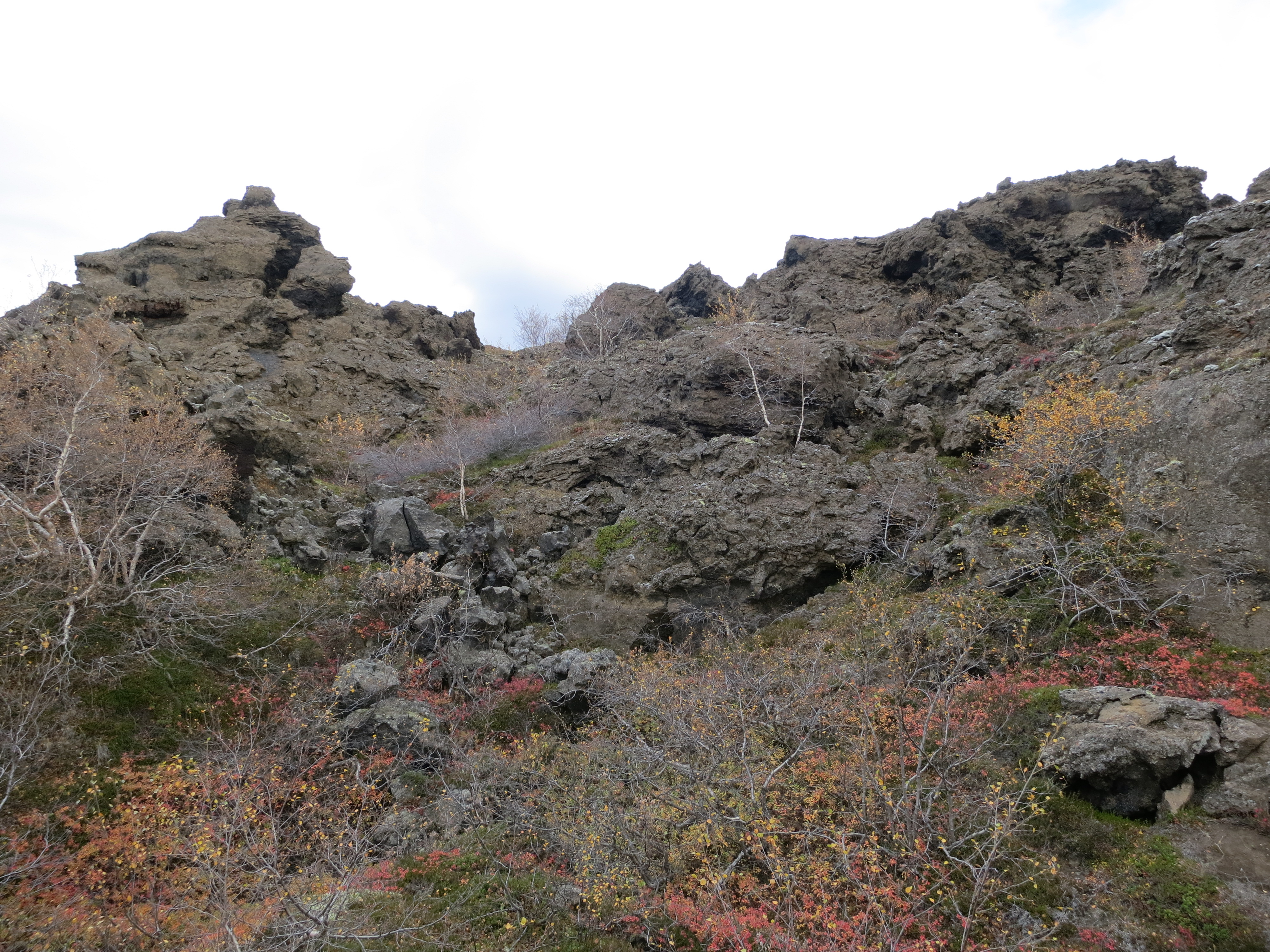
More lava formations
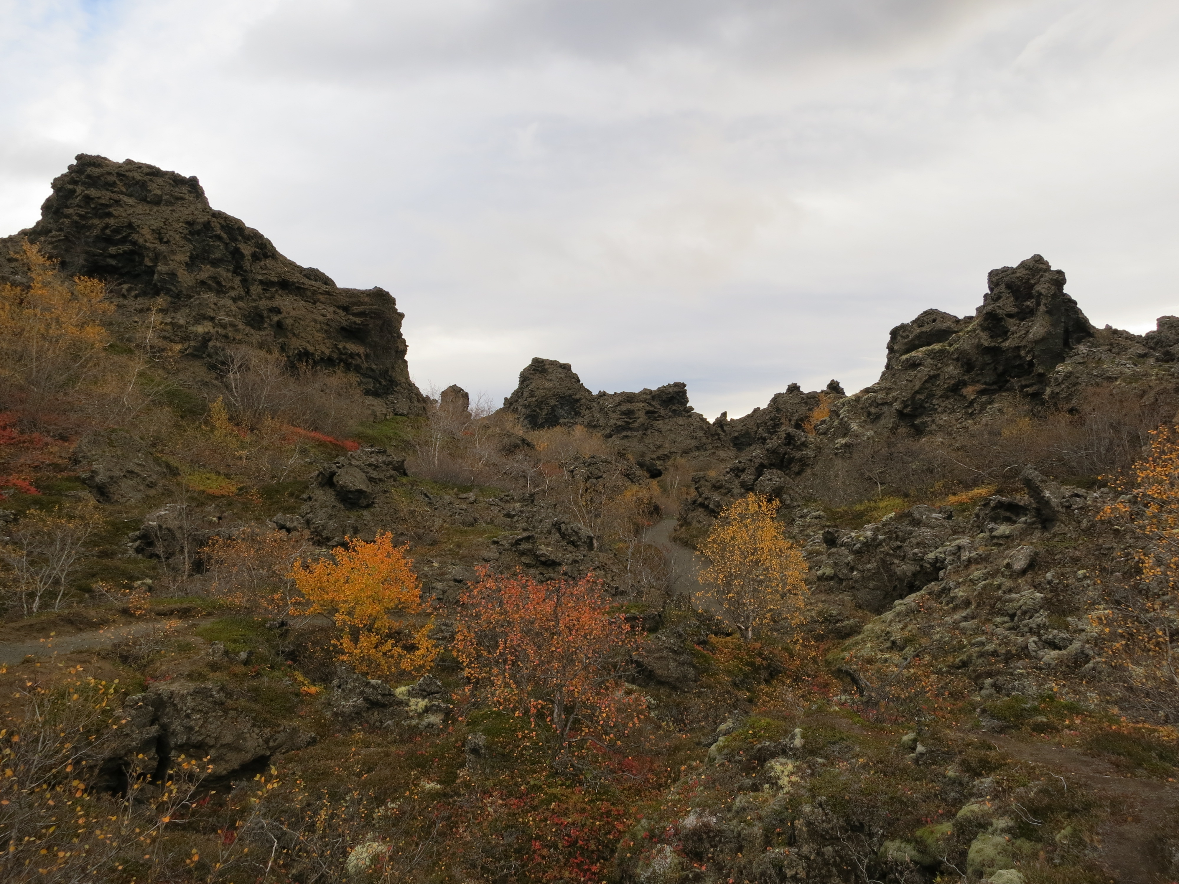
Lava formations and fall colours
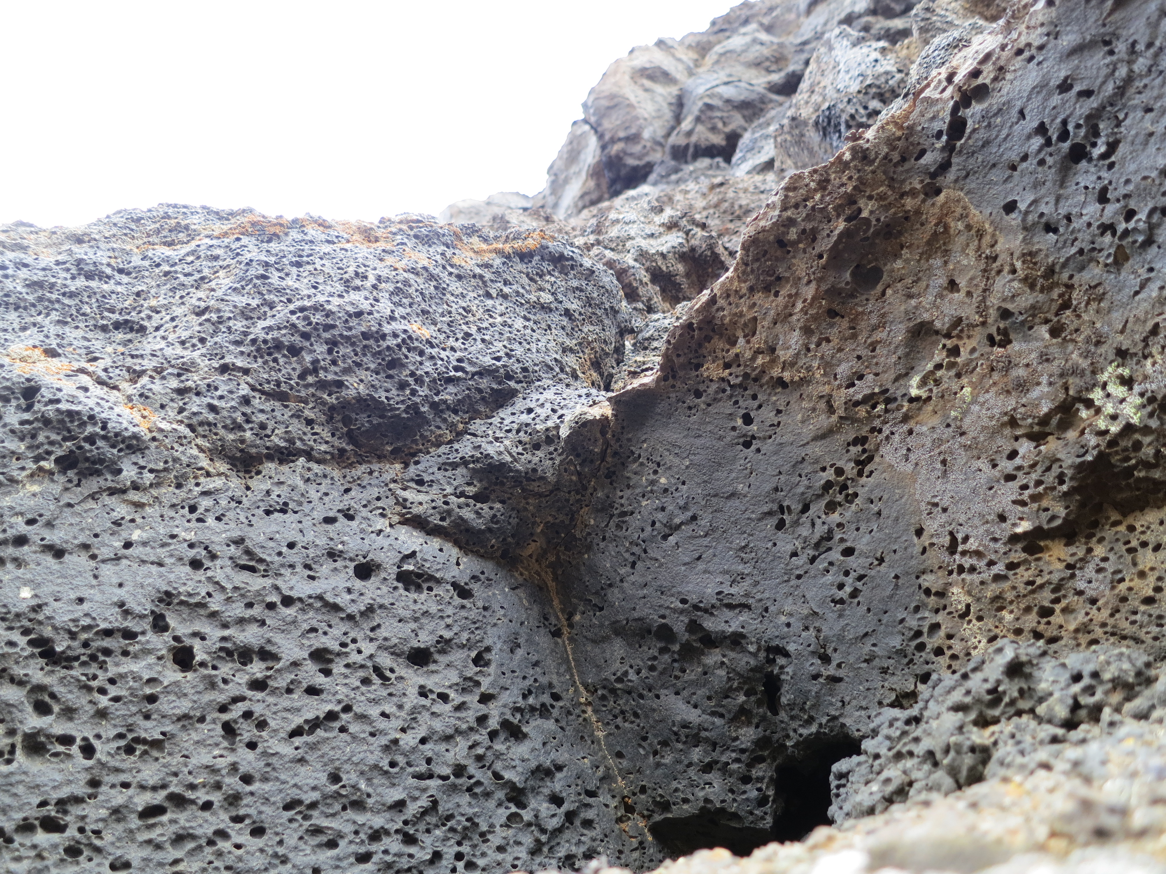
Up close and personal with a lava formation
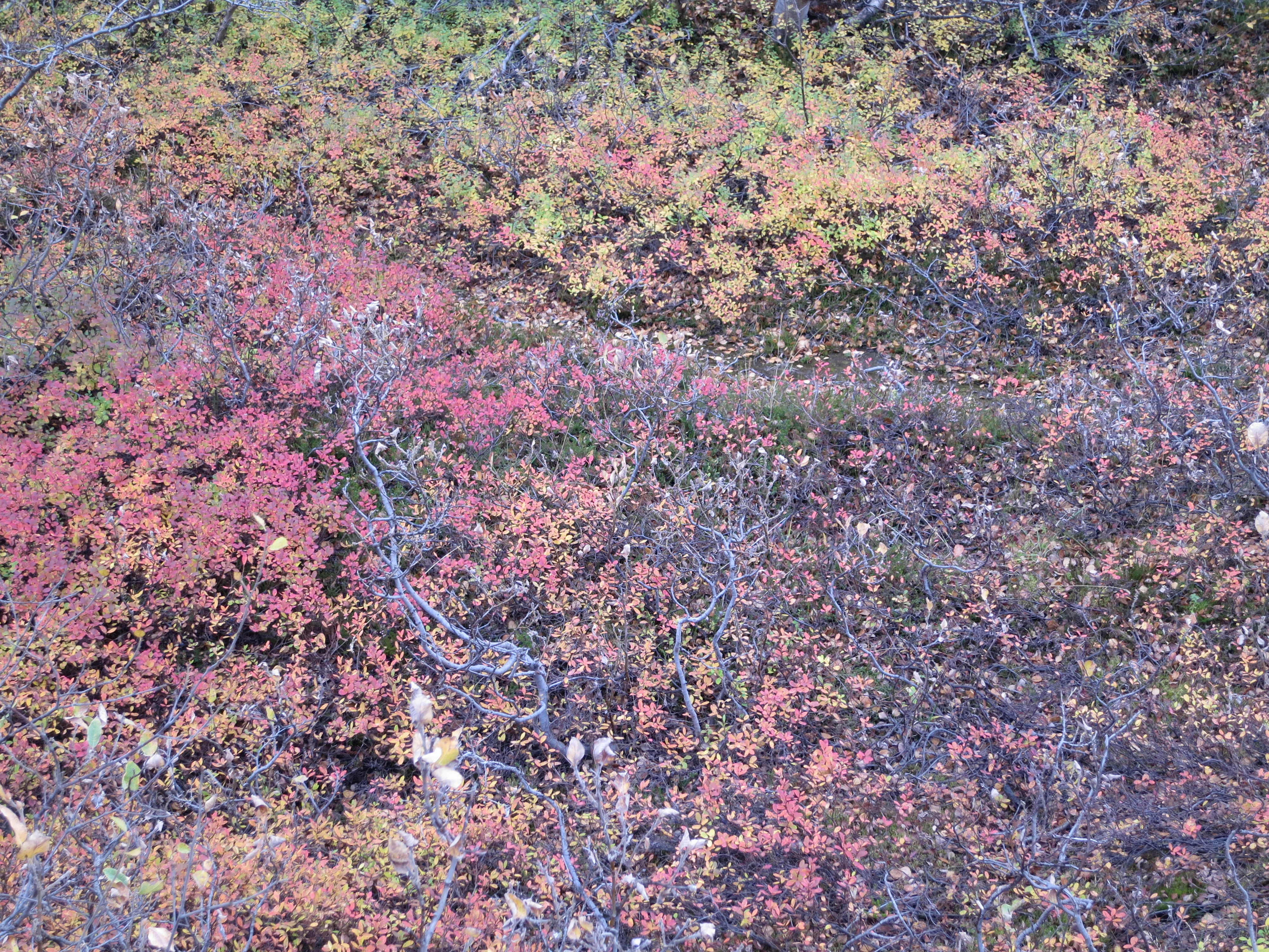
Fall
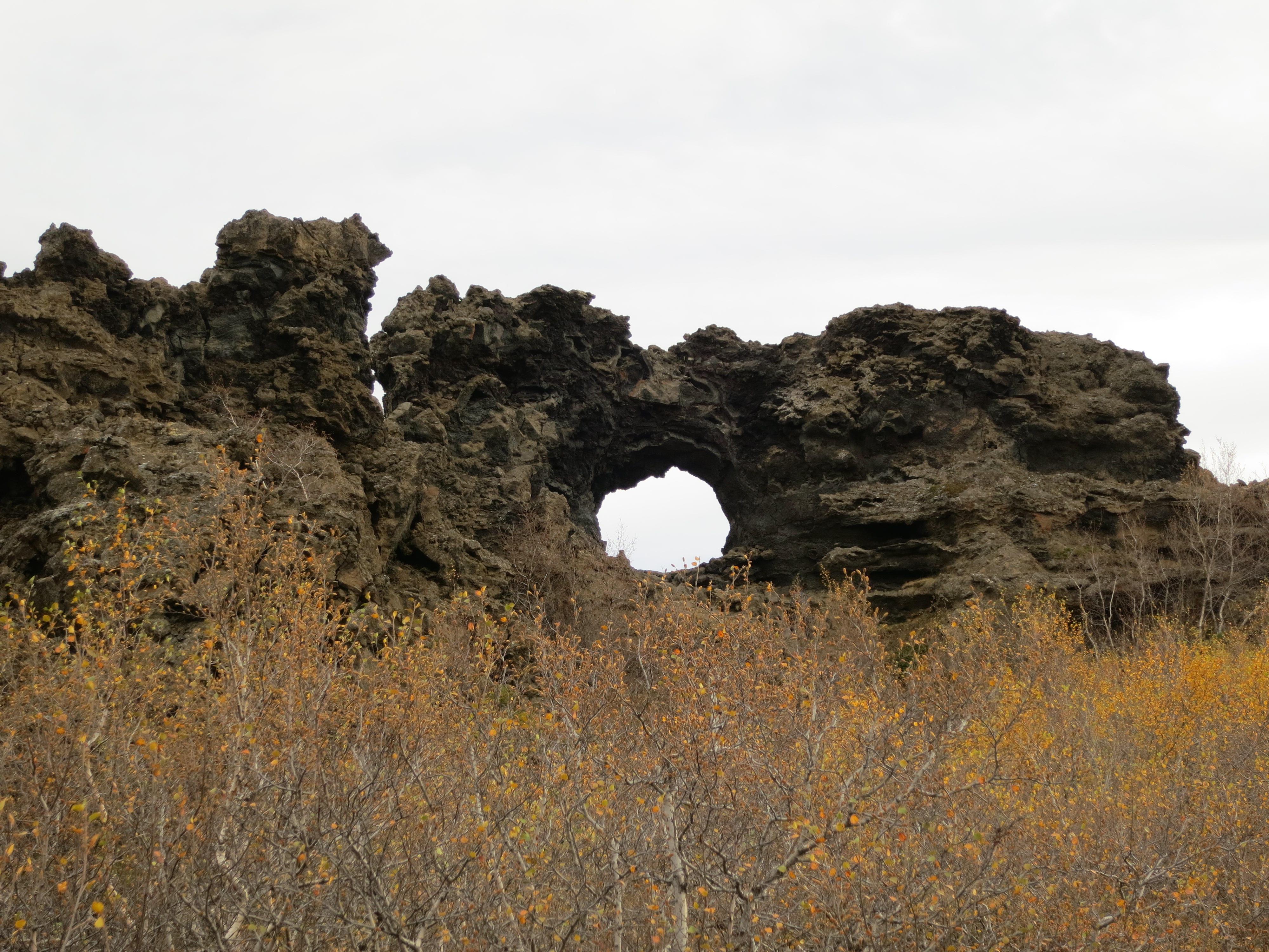
Natural tunnel
Once we had finished exploring the Dimmuborgir area, we got back into the car and began backtracking along the road we had taken yesterday afternoon to get to Lake Mývatn. We drove back along the ring road for about 30 minutes before turning off and taking a very bumpy gravel road for about 30 km. This was the first time we had done an extended drive off the pavement; it took a lot of effort to avoid as many of the potholes as we could. The drive ended up being worth it, however, when we pulled into the parking lot for the Dettifoss waterfall. The waterfall is on the Jökulsá á Fjöllum river, which is the second largest river in Iceland. The river source is the Vatnajökull glacier, and it flows into the Greenland sea. This waterfall has the largest water flow of any waterfall in Iceland, and it certainly made an impression. We had a short walk down to the falls from the parking lot along a rock staircase. We were able to get quite close to the edge of the waterfall, and had views of both the waterfall as well as the river leading up to it. We got a number of photos here. Our stop here lasted about an hour, before we got back into the car and continued along the gravel road.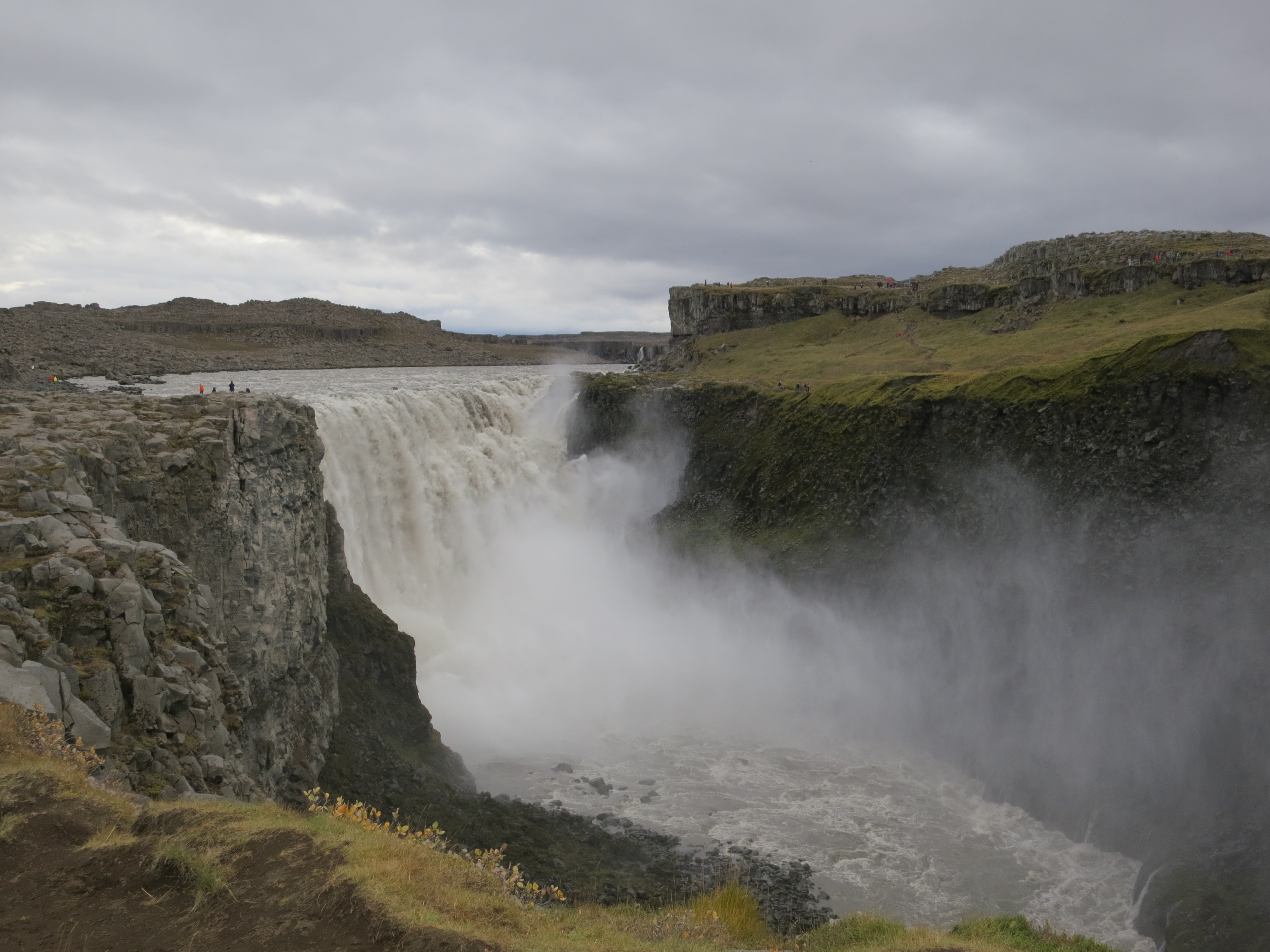
Dettifoss
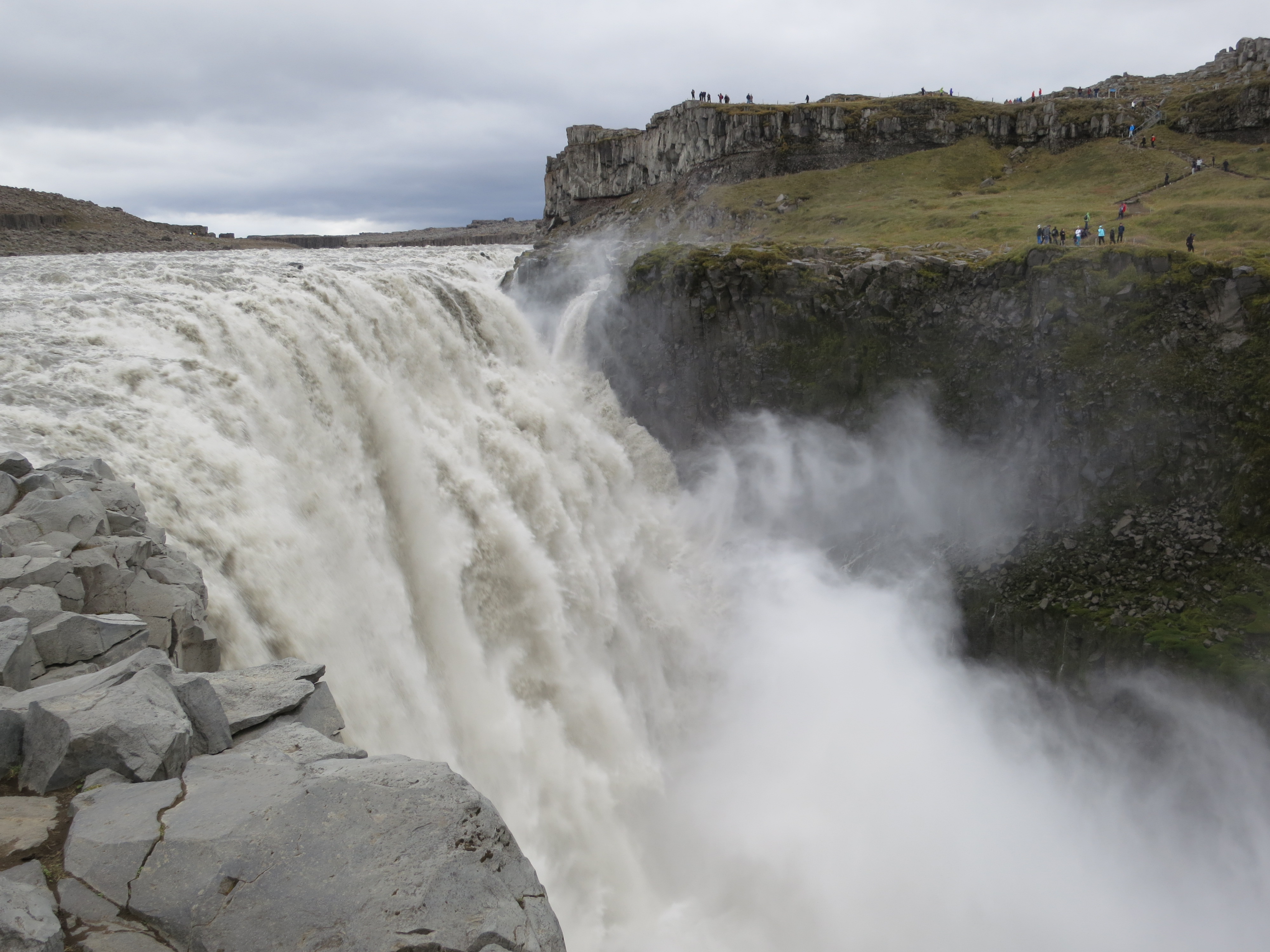
Dettifoss
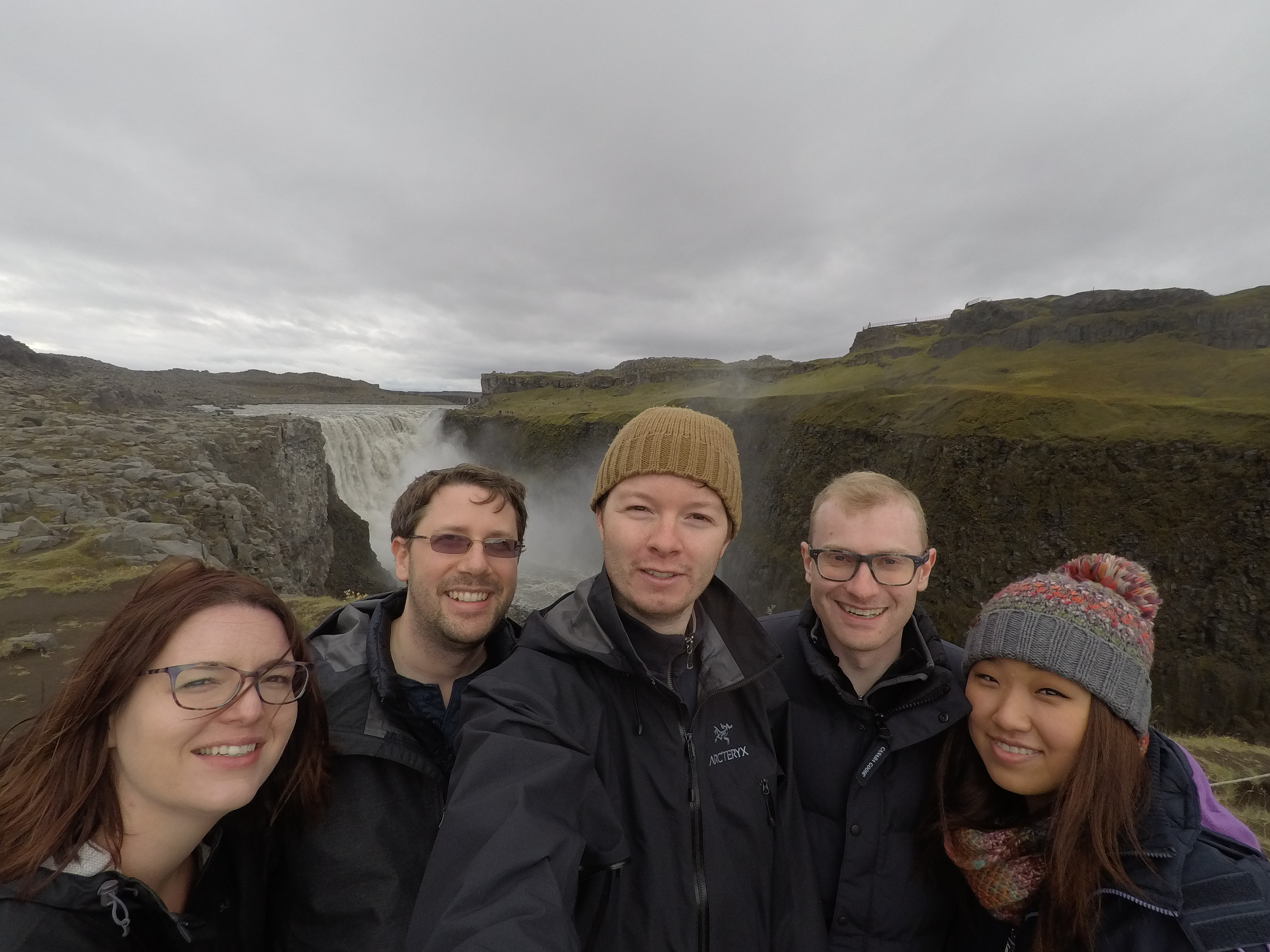
Us at Dettifoss
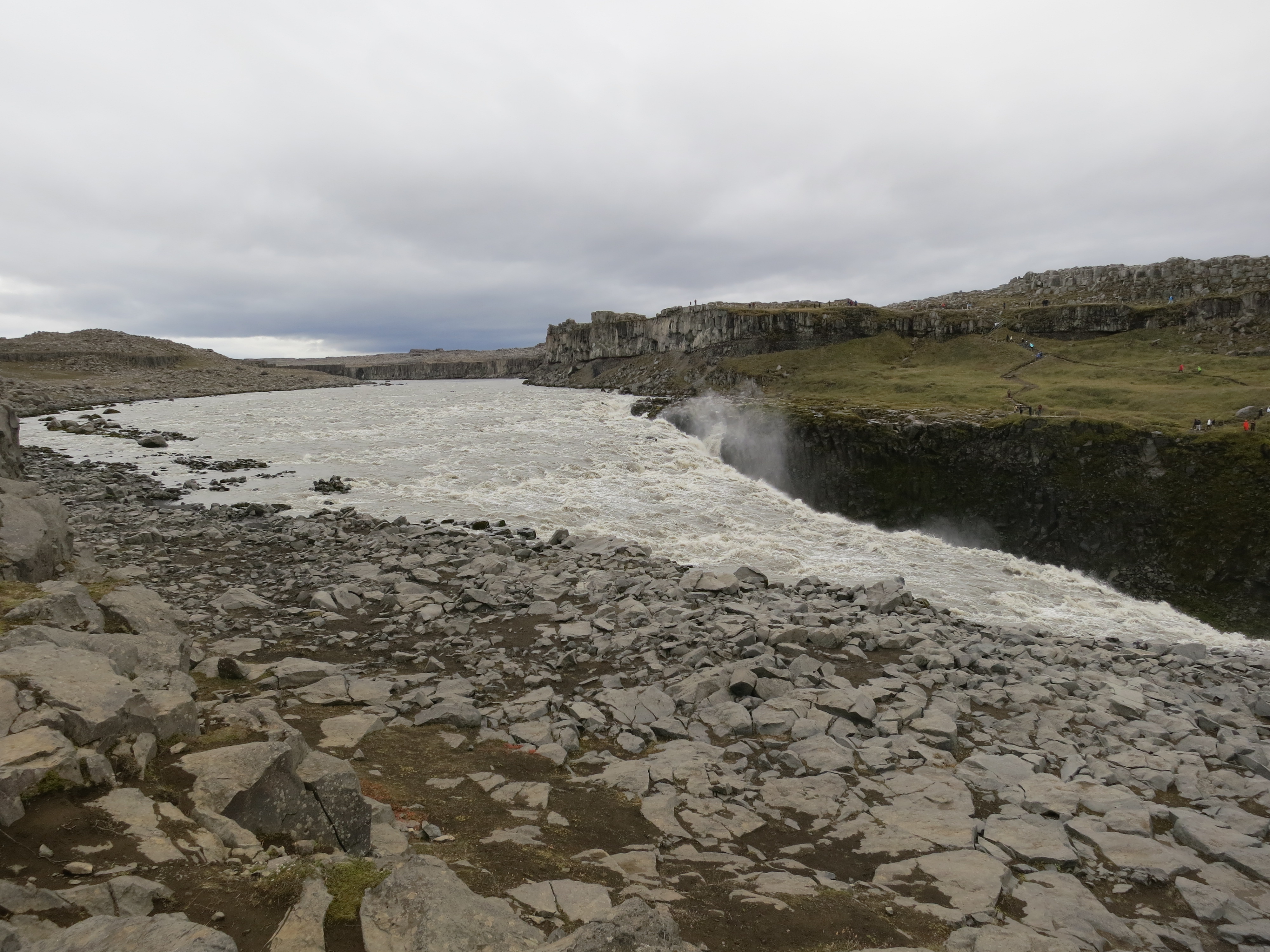
The river leading to Dettifoss
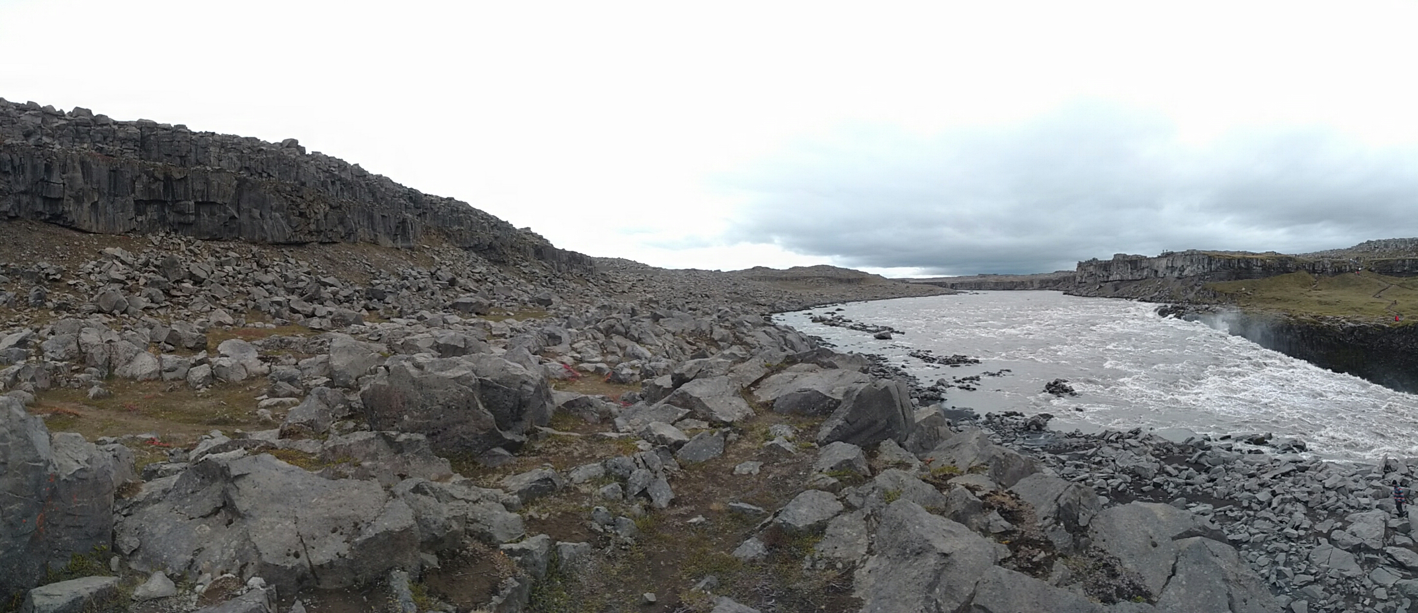
The river leading to Dettifoss
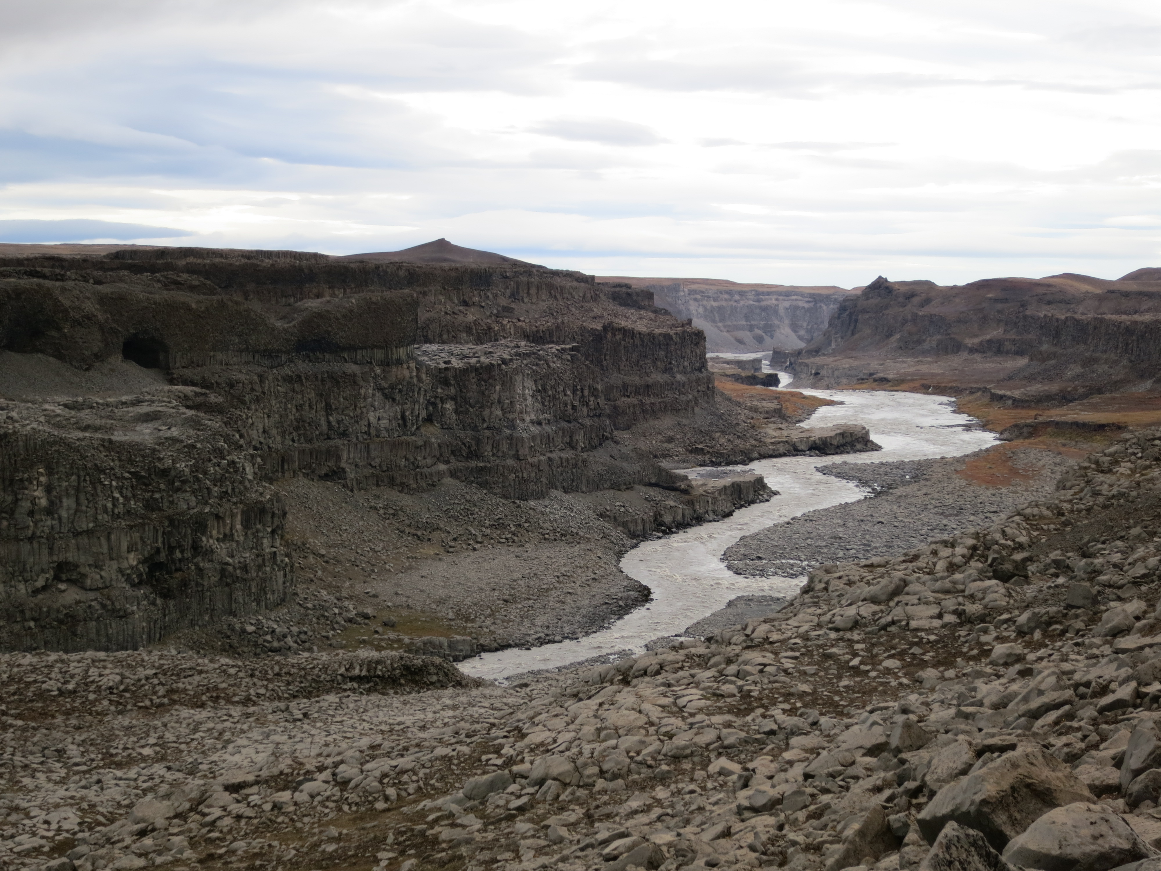
The river and canyon after Dettifoss
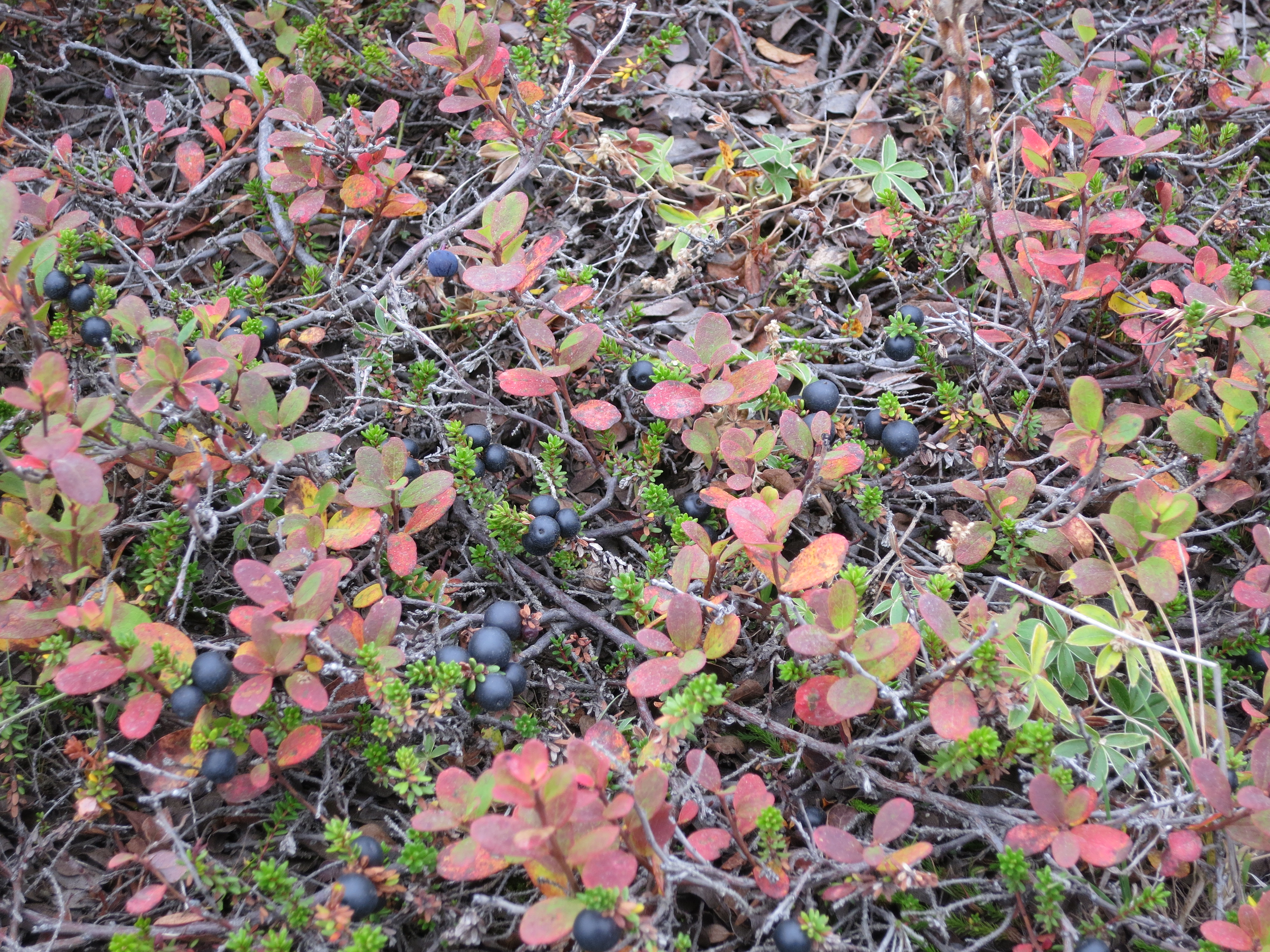
Wild blueberries growing by Dettifoss
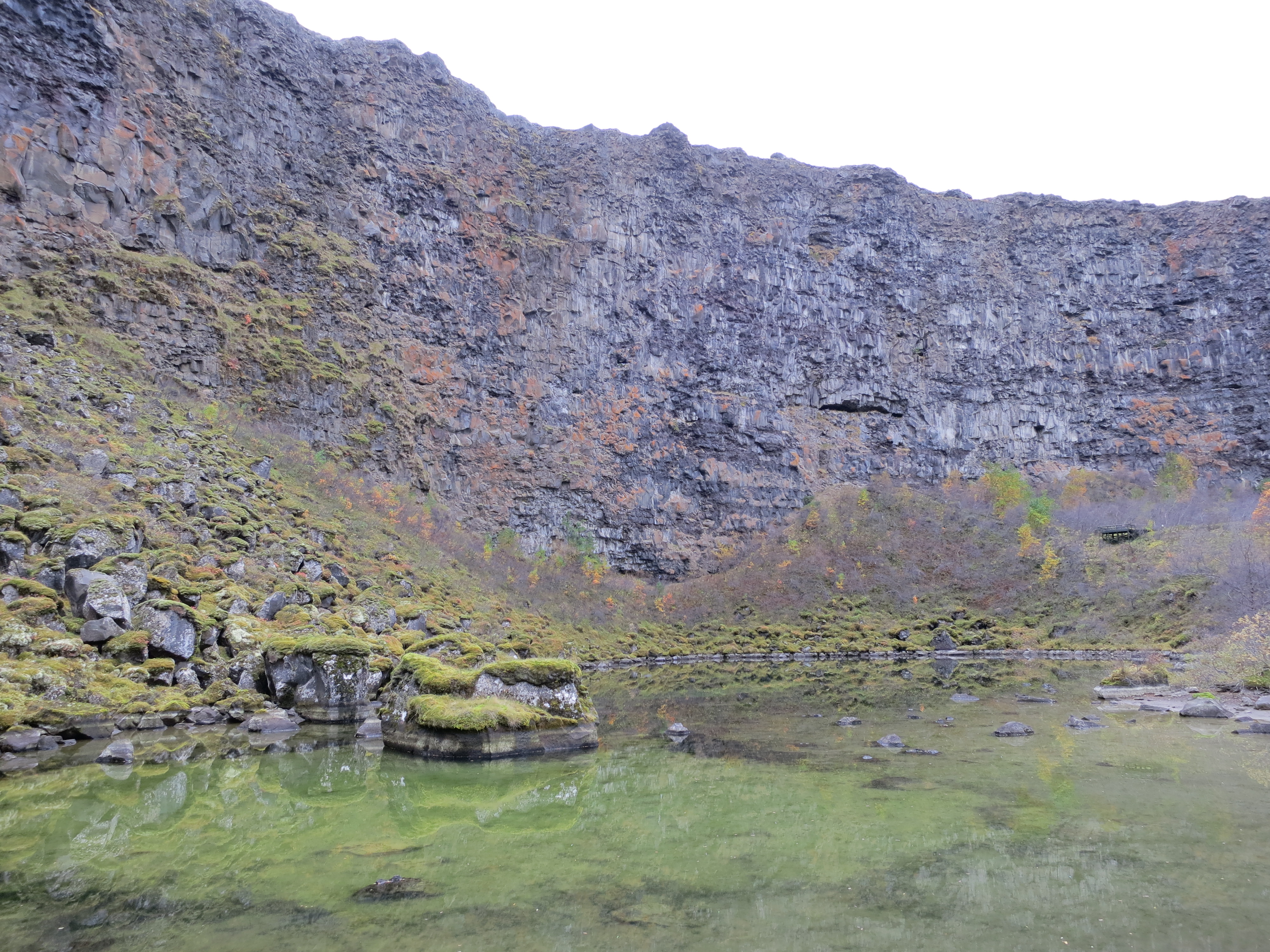
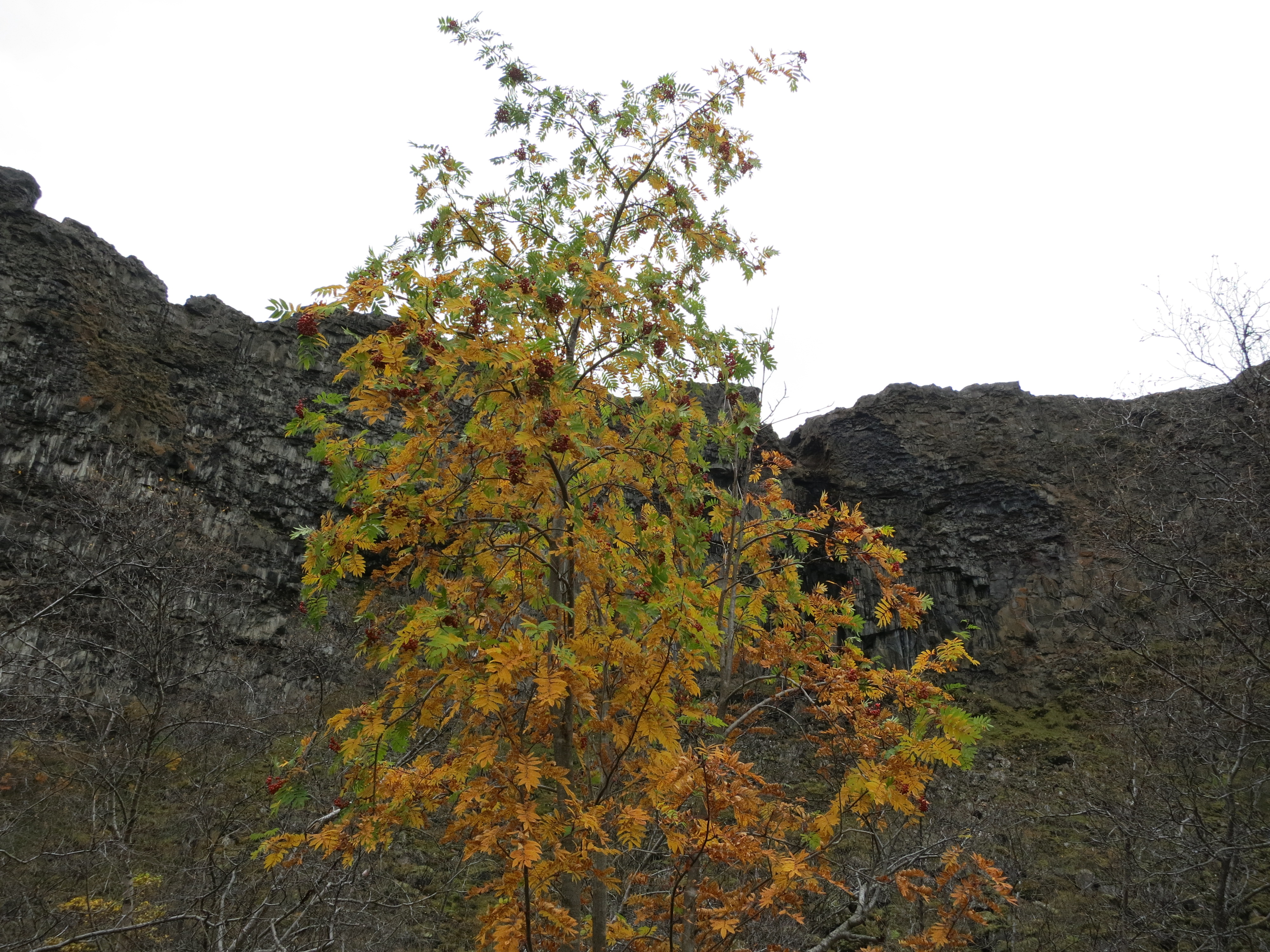
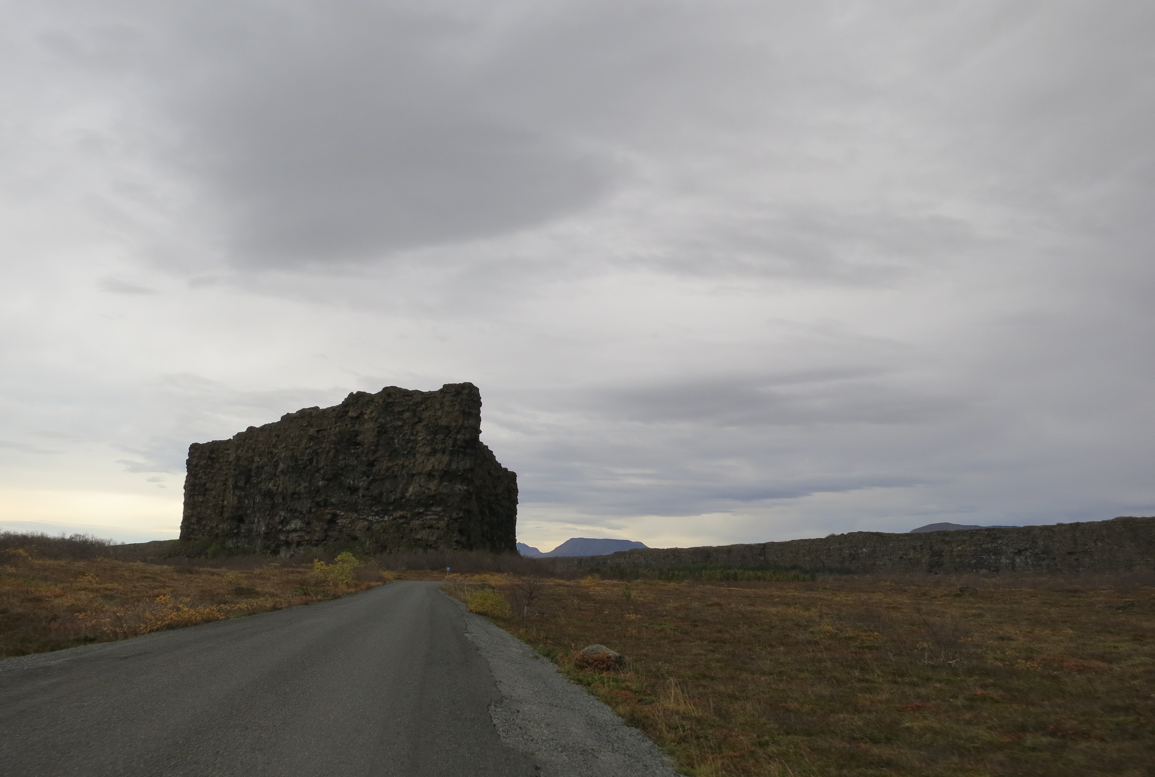
The next stop on the drive was the Ásbyrgi canyon. This geologic formation is believed to have been formed by a catastrophic glacial flood which was triggered by a volcanic eruption. The heat from the lava would have unleashed large amounts of water from the glacier very quickly. The canyon is shaped roughly like a horseshoe, and has almost vertical cliffs that are nearly 100m in height. The end result is a peaceful, forested area where we went on a gentle walk through the trees. The nature walk had a number of signs pointing out different types of plants that grow in the area. When we reached the canyon walls it was a pretty imposing site - the cliffs rise straight out of the ground and tower over you. We took a number of photos, including some neat panoramic shots, then walked back to the car.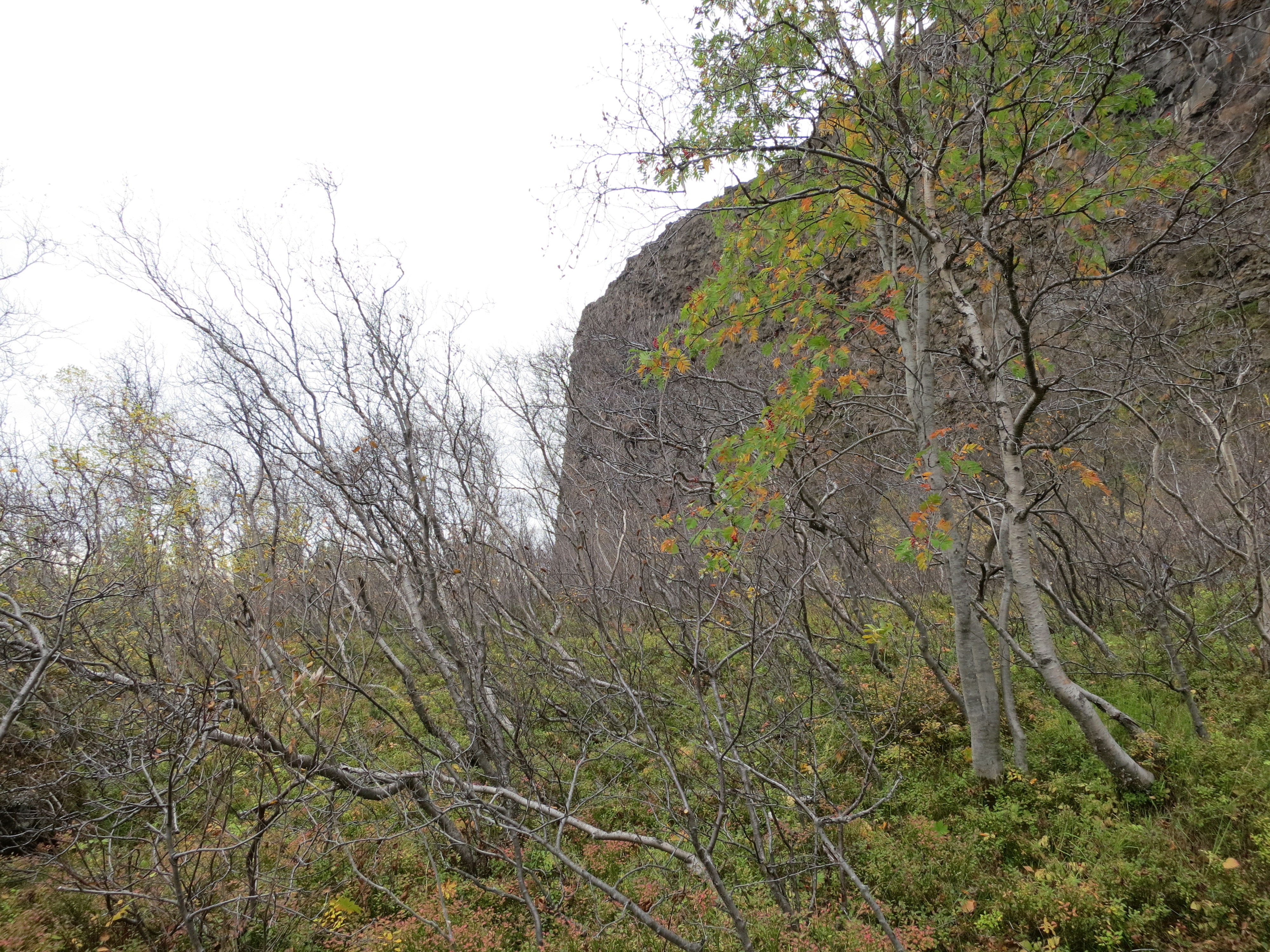
The vertical canyon wall can be seen through the trees
A lake at the end of the canyon
A tree in the forest
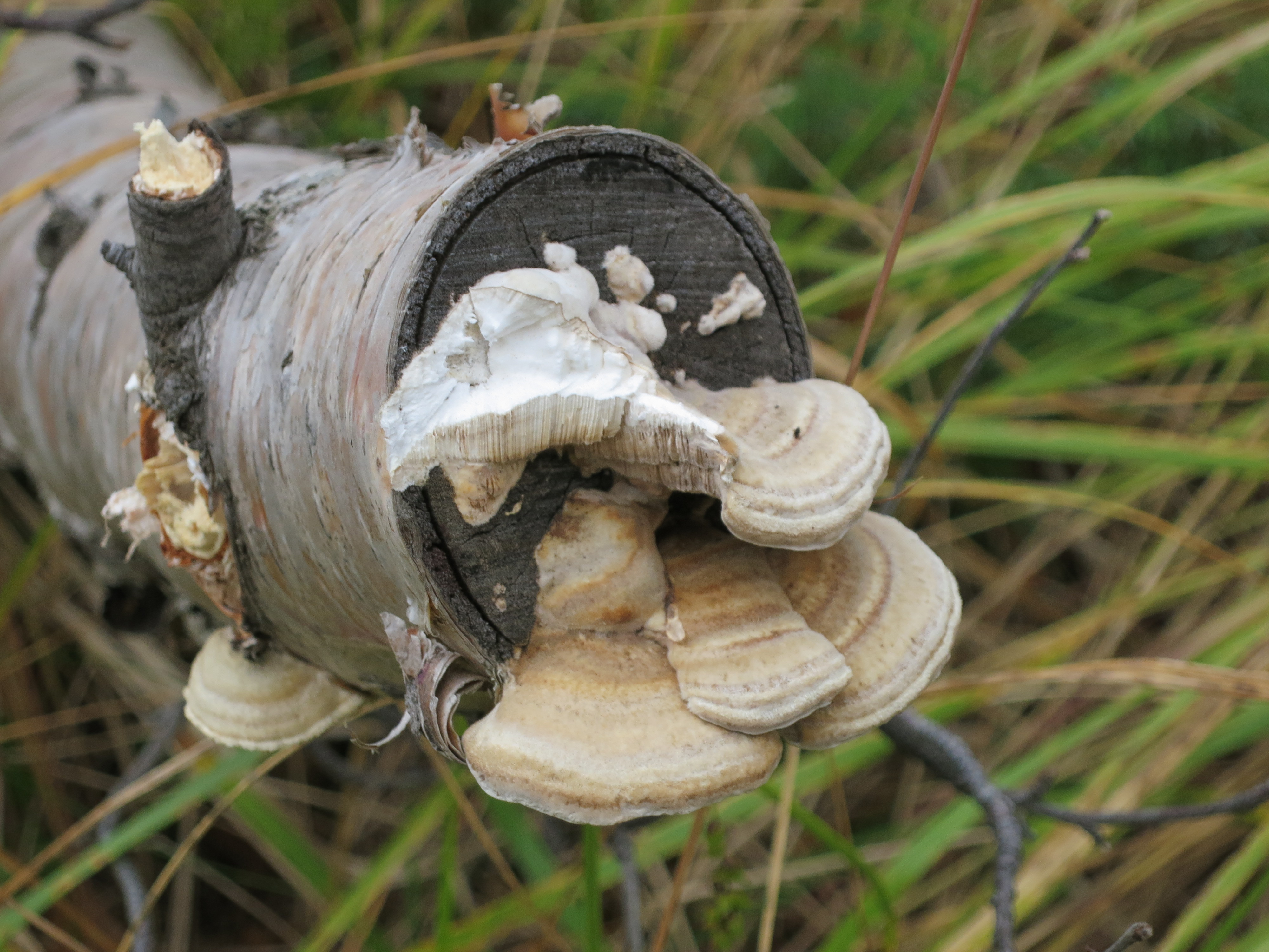
Mushrooms growing on a tree in the canyon
The floodwaters left a small island in the middle of the canyon
We continued driving to Húsavík, which we arrived at to light rain shortly after 2 PM. Our timing was perfect, as we had previously booked a whale watching tour that began at 2:30 PM. We checked in with the tour company, grabbed a quick sandwich from a cafe, then boarded the boat. We were given heavy suits, similar to snowsuits, to put on, which would help block the wind and keep us warm. The rain was still coming down, so they also gave us bright orange raincoats to put over the suits, which made us feel like day-glo orange Michelin men. There were about 30 other people on the boat with us when we cast off shortly after 2:30 PM.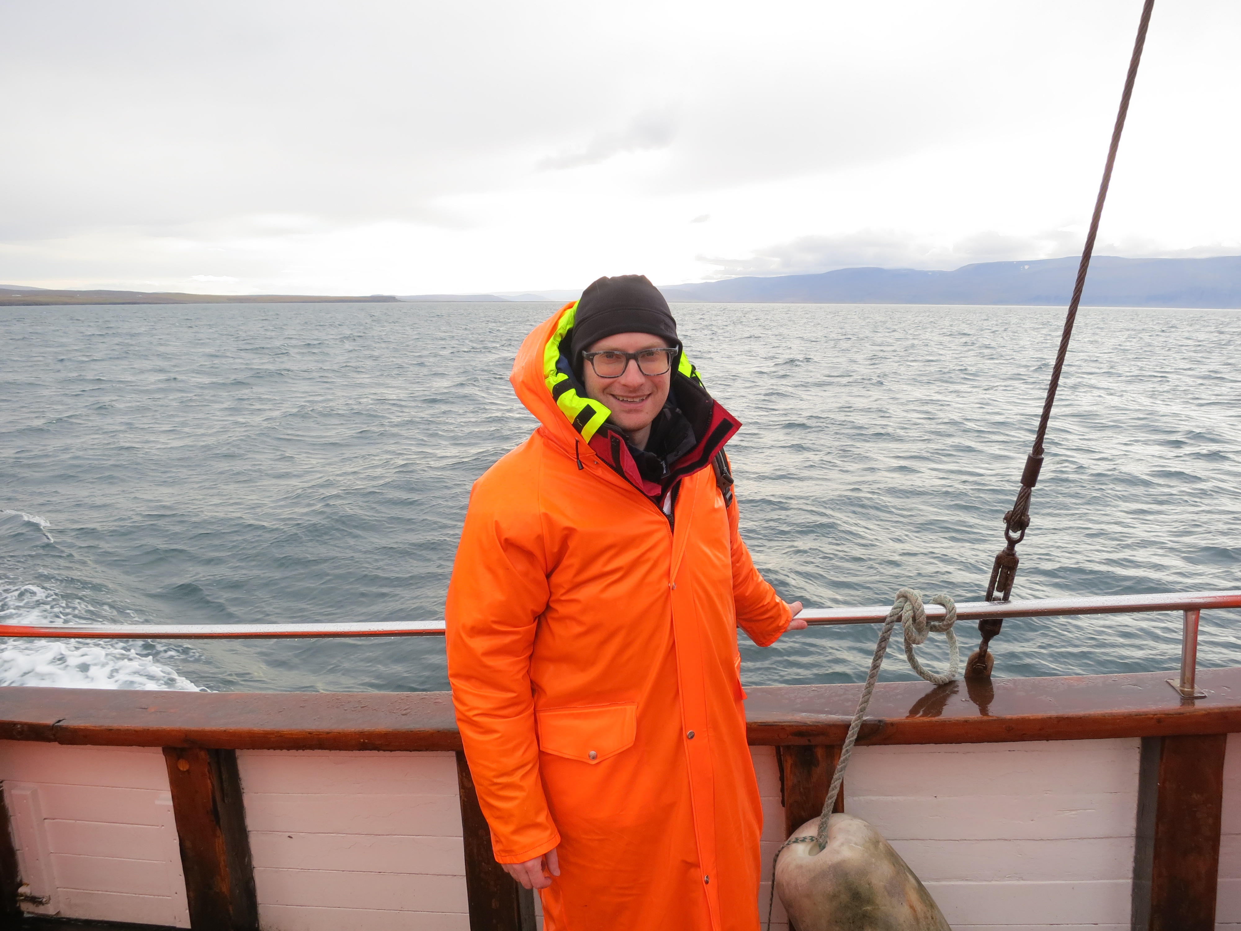
That's a lot of look
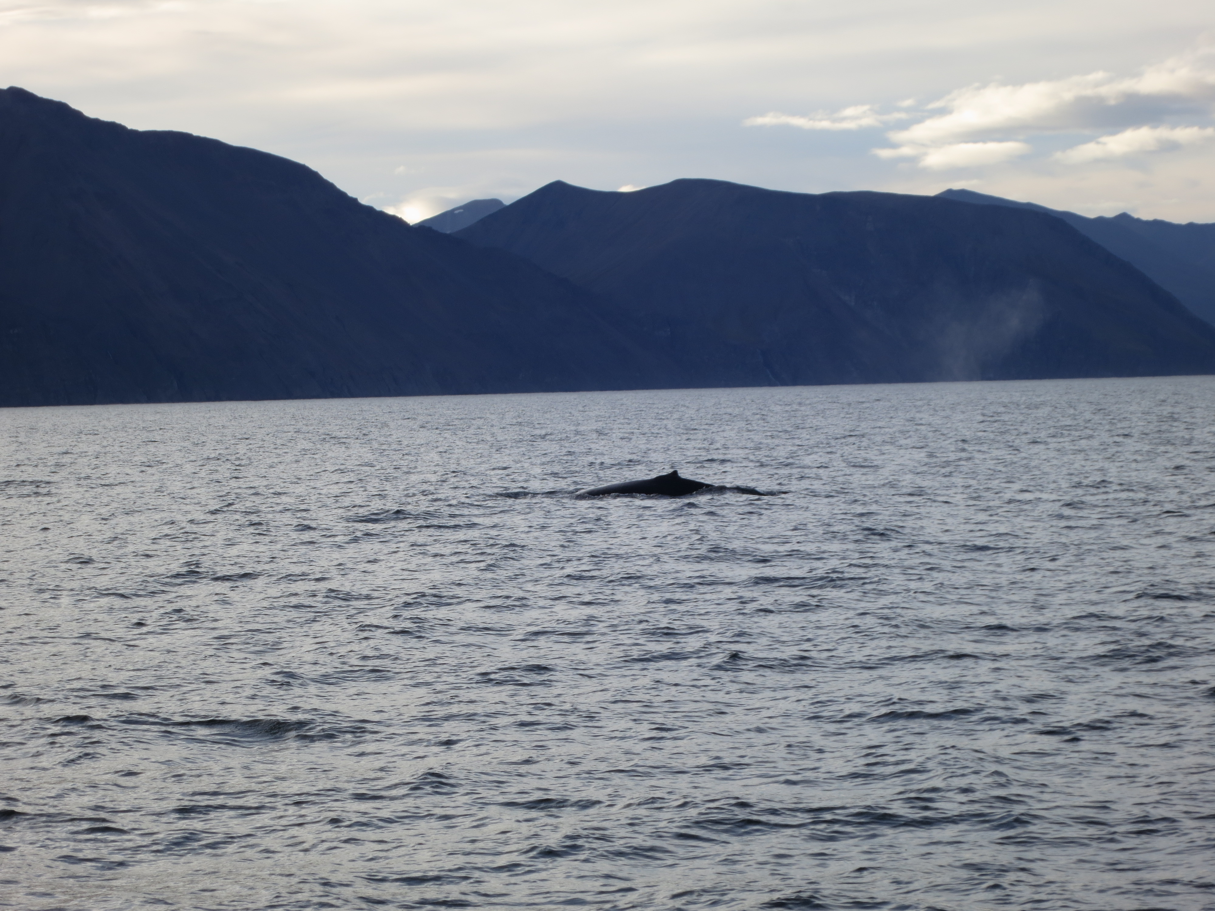
The boat headed west from Húsavík into Skjálfandi bay. The bay, whose name means ’trembling’ or ‘shaky’, comes from the frequent earthquakes that the area experiences. It took us about 30 minutes before we saw the first whale. The boat then spent the next couple of hours driving from whale sighting to whale sighting. Often we would see the whale exhaling, shooting a plume of water into the air, then head closer to the area. The whale would then surface several times, and we would be able to see the backs of the whale while they were breathing. On the final surfacing, the whale would bring its tail out of the water before going under for about 5-10 minutes before resurfacing. The first whale we spotted was actually with another whale, however we also saw several whales on their own. By the end of the tour we had seen a half dozen different humpback whales. I couldn’t tell the whales apart, but our guides were able to catch glimpses at the underside of their tales and were keeping count. Each whale has a pattern on the underside of its tail which is unique to the whale, similar to how fingerprints are unique to humans, so if you can grab a view of the tail you can tell the whale apart from others. The guides did a good job sharing various pieces of information about whales while we waited for the whales to resurface. As we travelled back into Húsavík we were served cinnamon buns and hot chocolate, which was a nice treat. Luckily the rain had stopped while we were sailing into the bay, and we had spent the entire whale-watching experience in dry and sunny conditions. We got back to shore just before 5:30 PM, having spent a total of 3 hours on the water. It was a fantastic tour.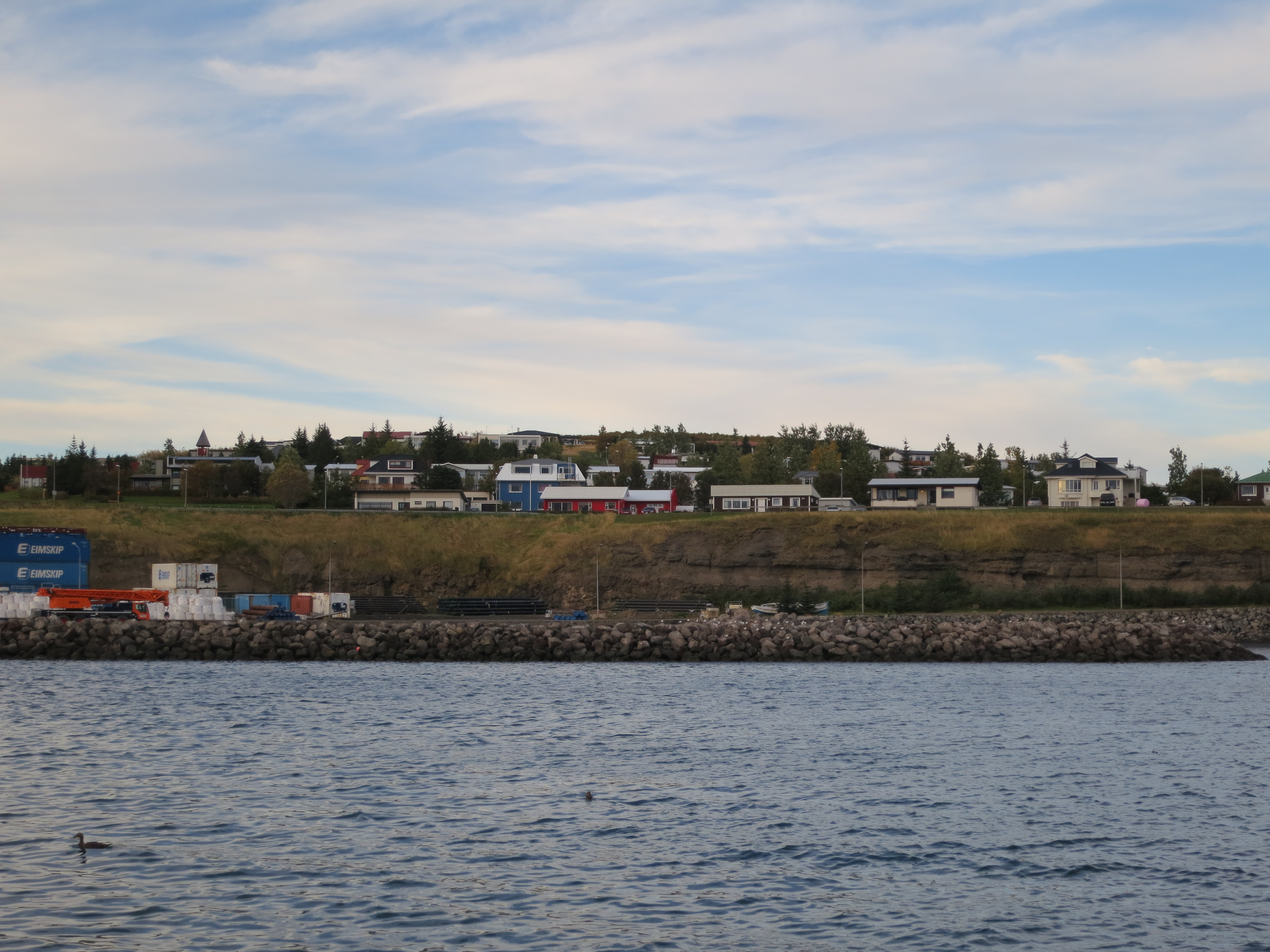
Looking back towards Húsavík
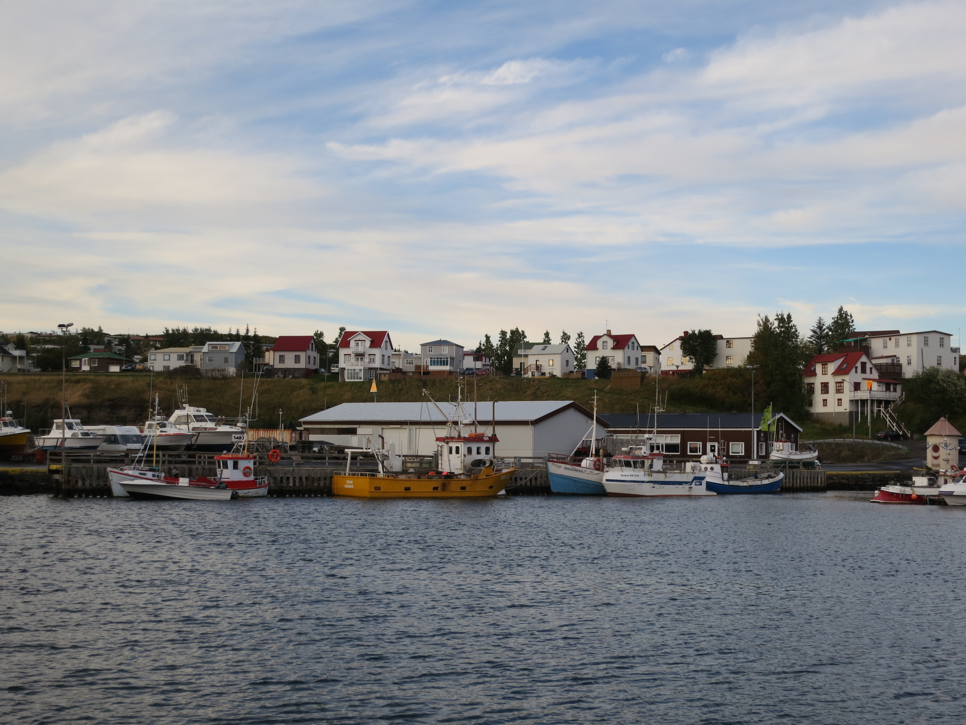
Húsavík
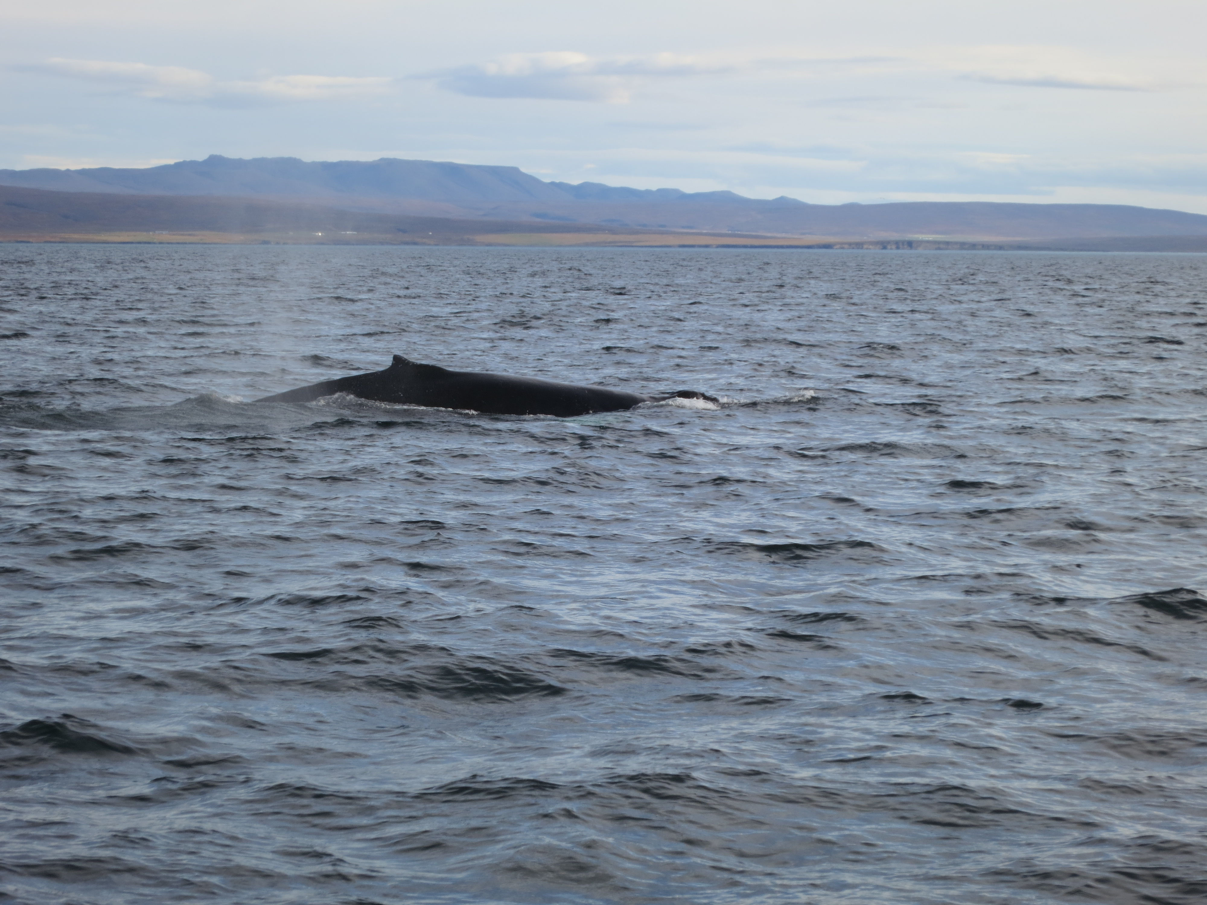
A whale surfacing for air
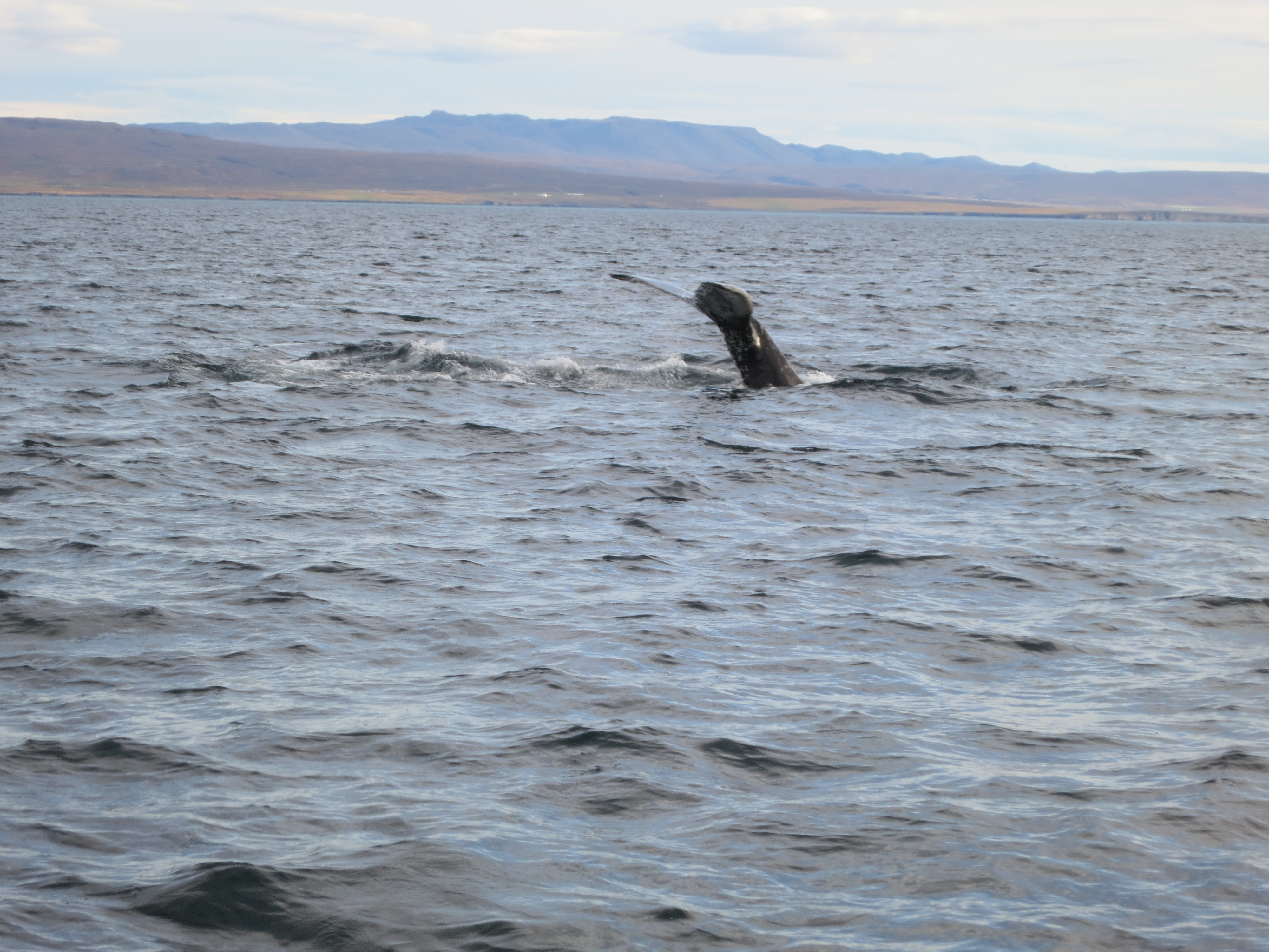
The whale diving below the surface
A whale with the bay in the background
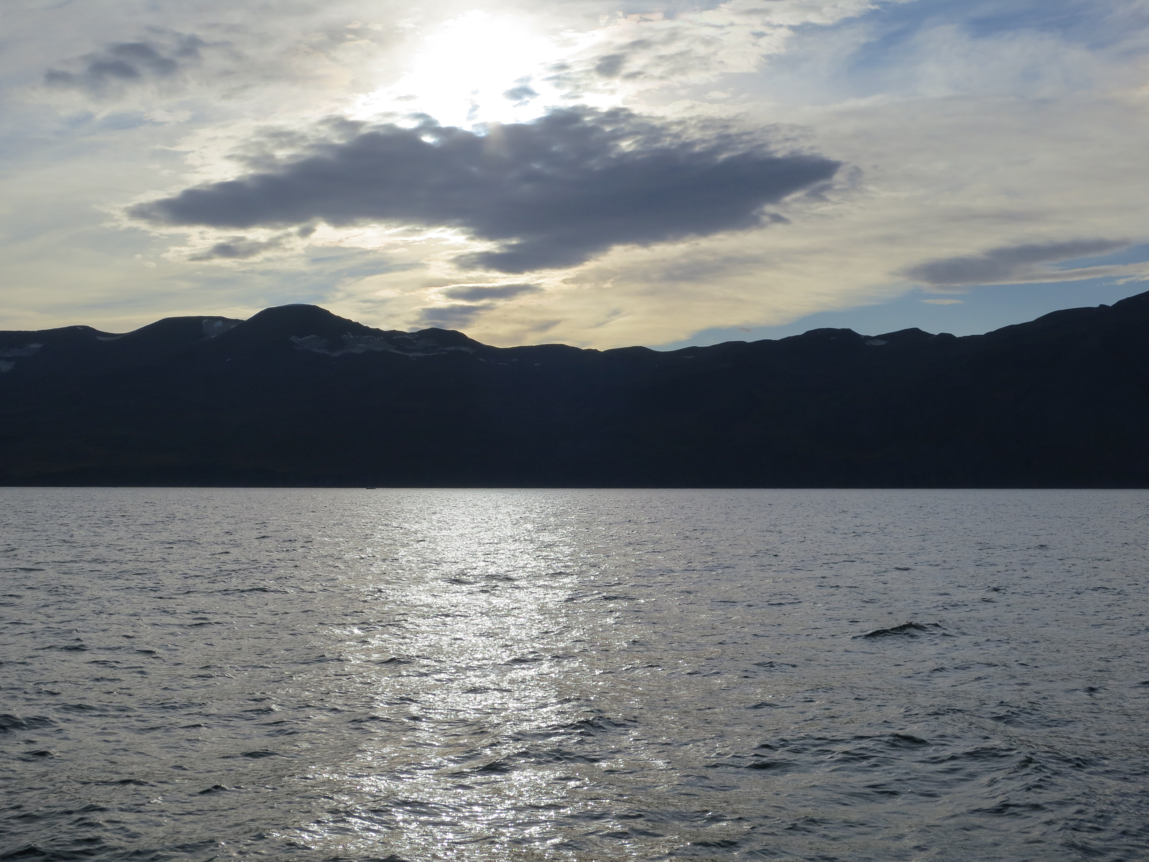
Looking out over Skjálfandi bay
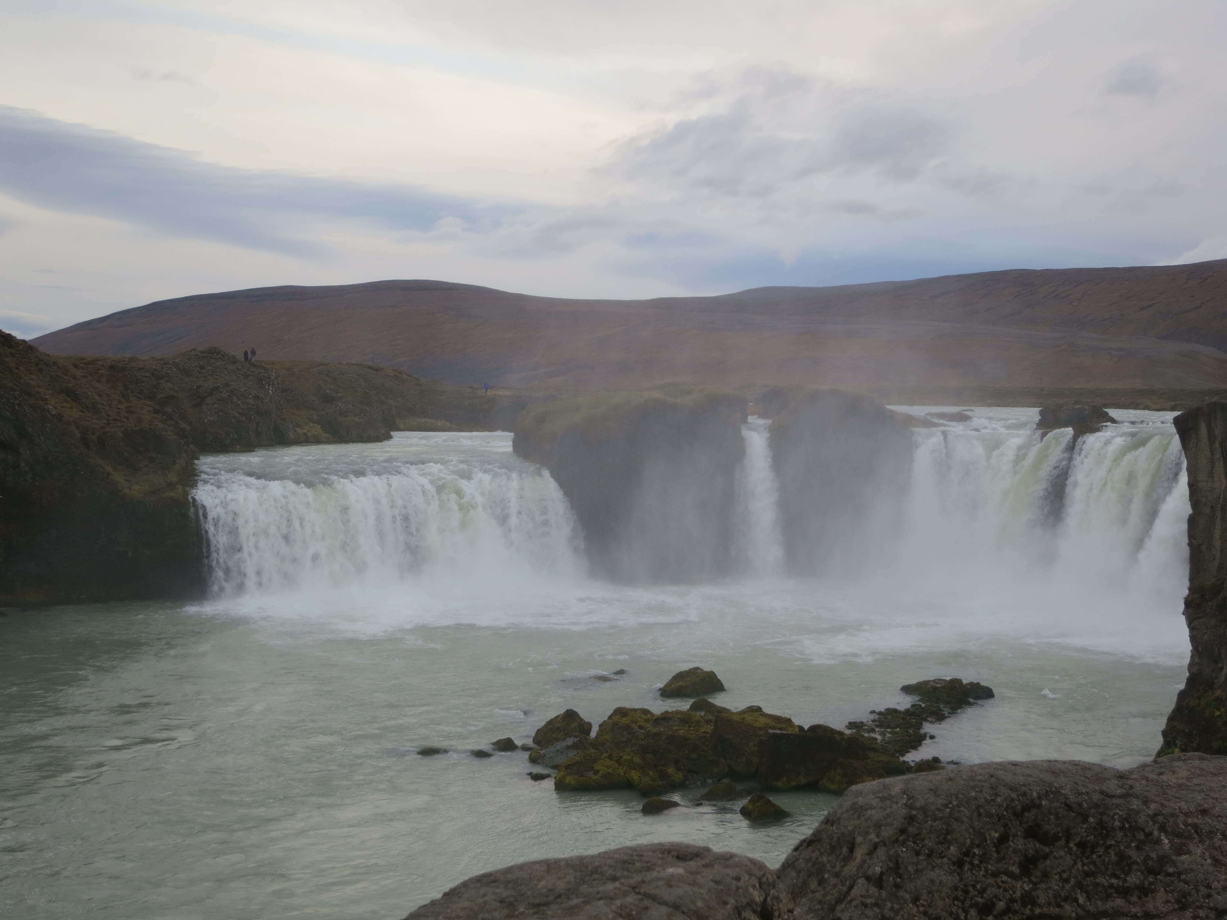
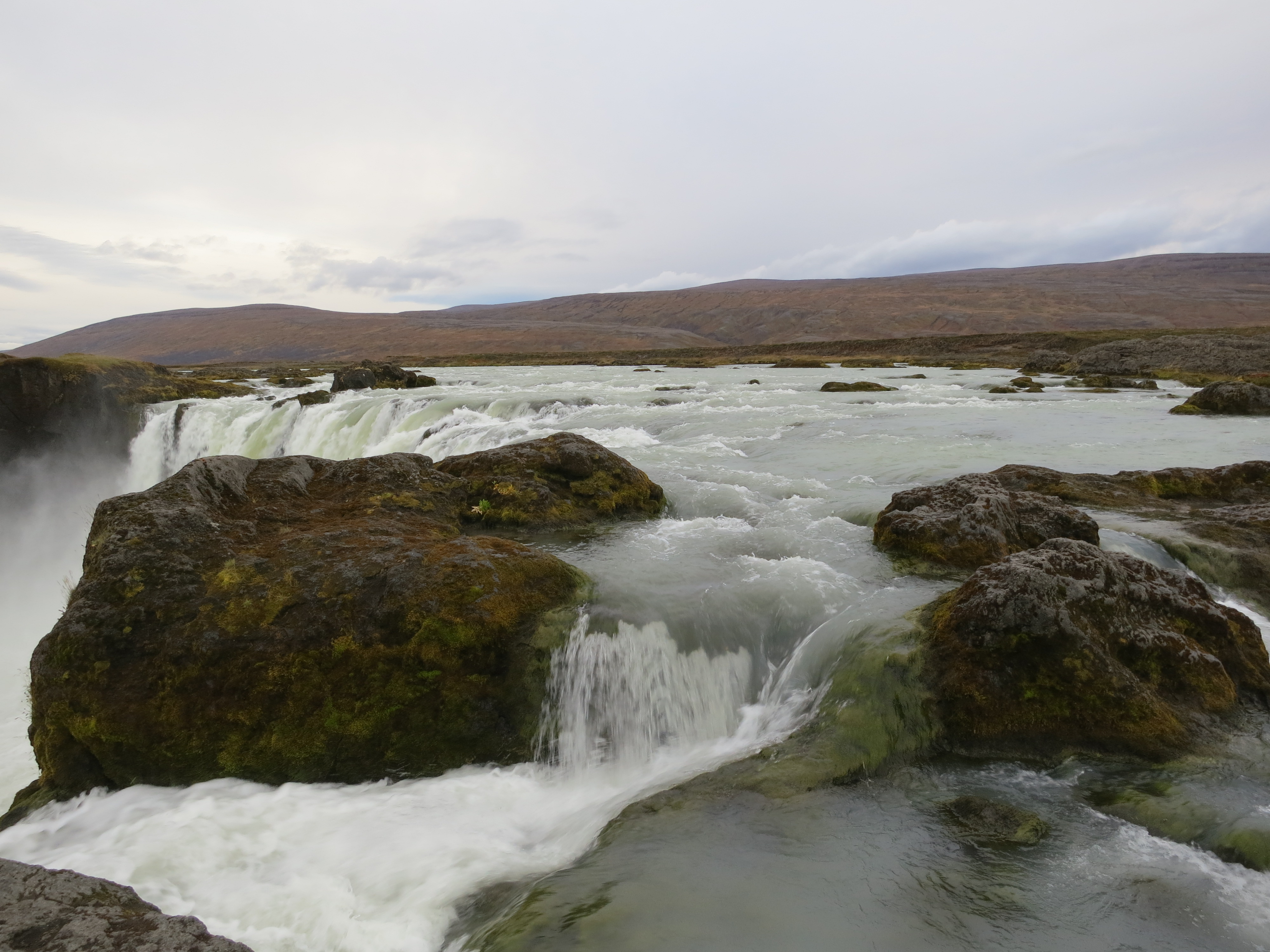
We got back into the car and continued along the ring road to Goðafoss, another waterfall about 30 minutes from Húsavík. This waterfall was interesting in that there were a pair of islands in the river that split the water into 3 distinct chutes, with the left and right sides comprising most of the waterfall, with the middle flow being quite narrow. Much like Dettifoss we were able to get right to the edge of falls, which let us capture some cool photos of the waterfall. While Goðafoss was not the largest we’d seen, it had a unique structure that was cool to see. We didn’t stay long here, perhaps 15 minutes, before continuing on.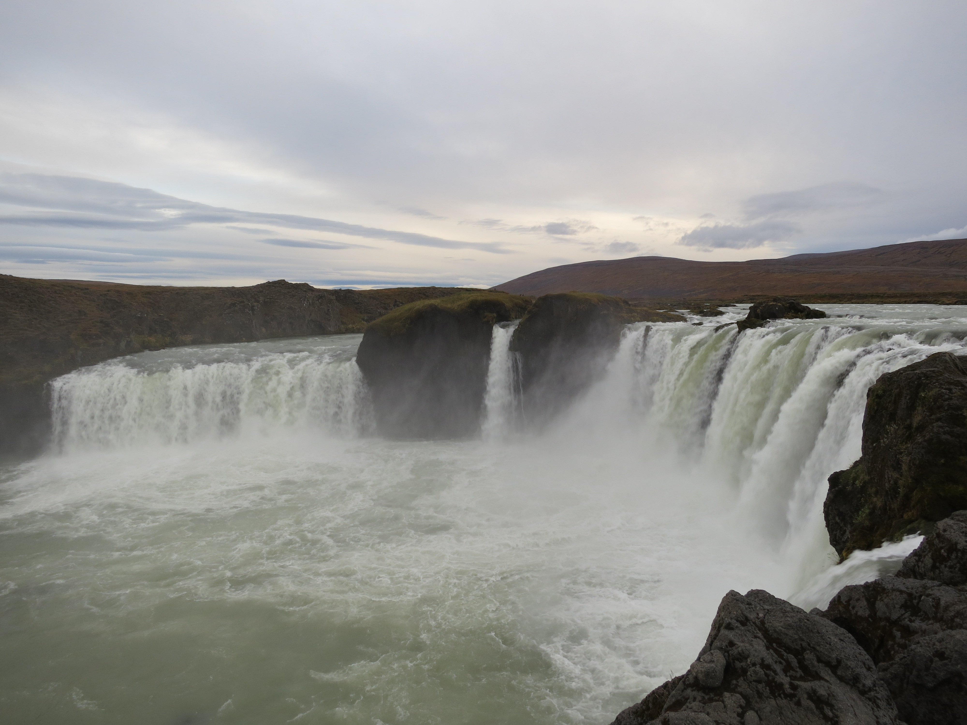
Goðafoss
Looking at Goðafoss
The river upstream of Goðafoss
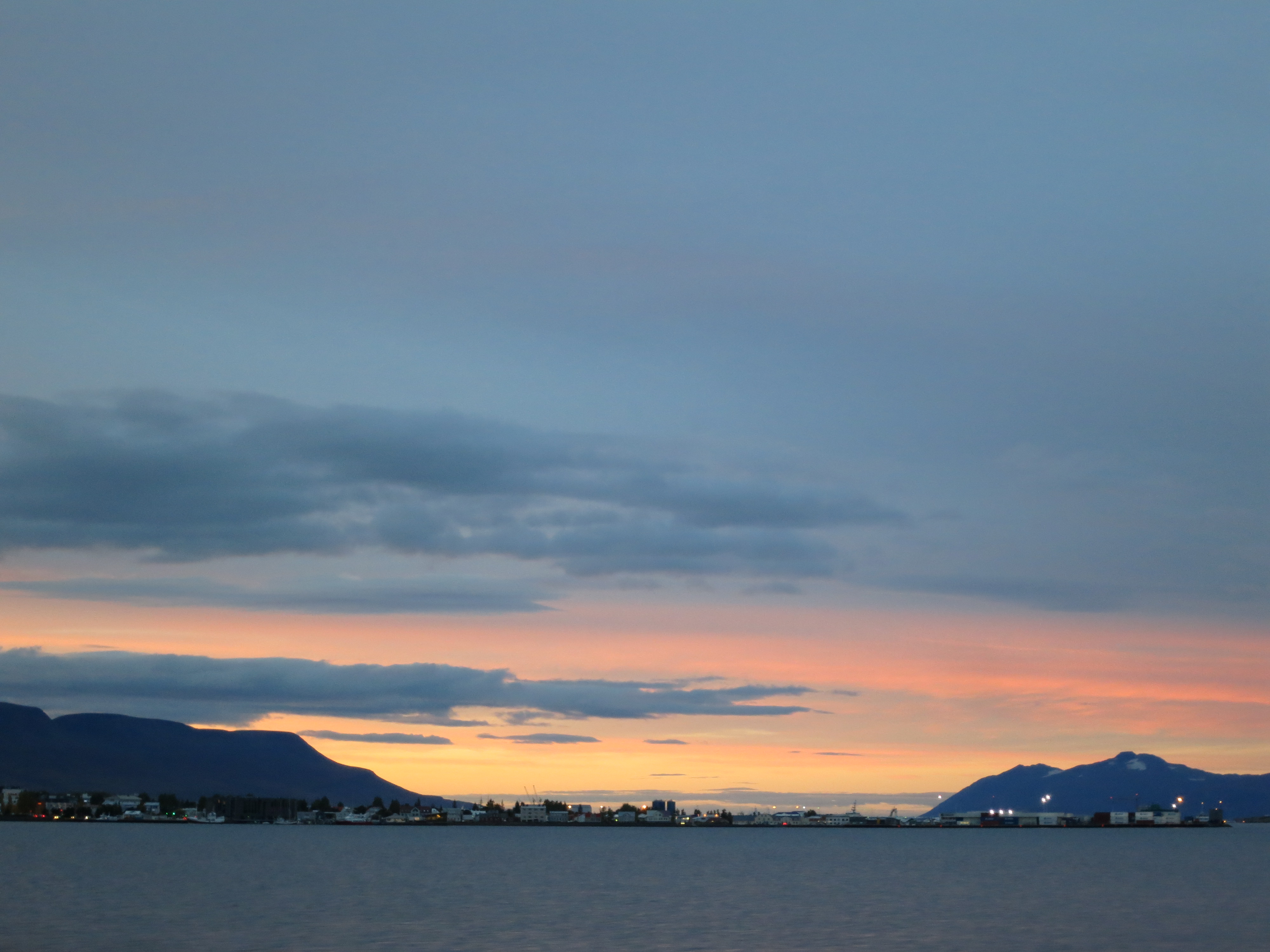
Our final destination of the day was Akureyri, the location of our AirBnB and a 40 minute drive from Goðafoss. We pulled into town just before 7 PM; just as the sun was setting. This resulted in some gorgeous pink and blue skies. We had dinner at the Restaurant Strikið, where I had a delicious lamb shank and a tasty Brennivín-based cocktail with blueberries. The meal was quite relaxing, and after we finished up we drove to the AirBnB for the night. We unpacked and relaxed; I worked on this blog then went to bed around 11:30 PM.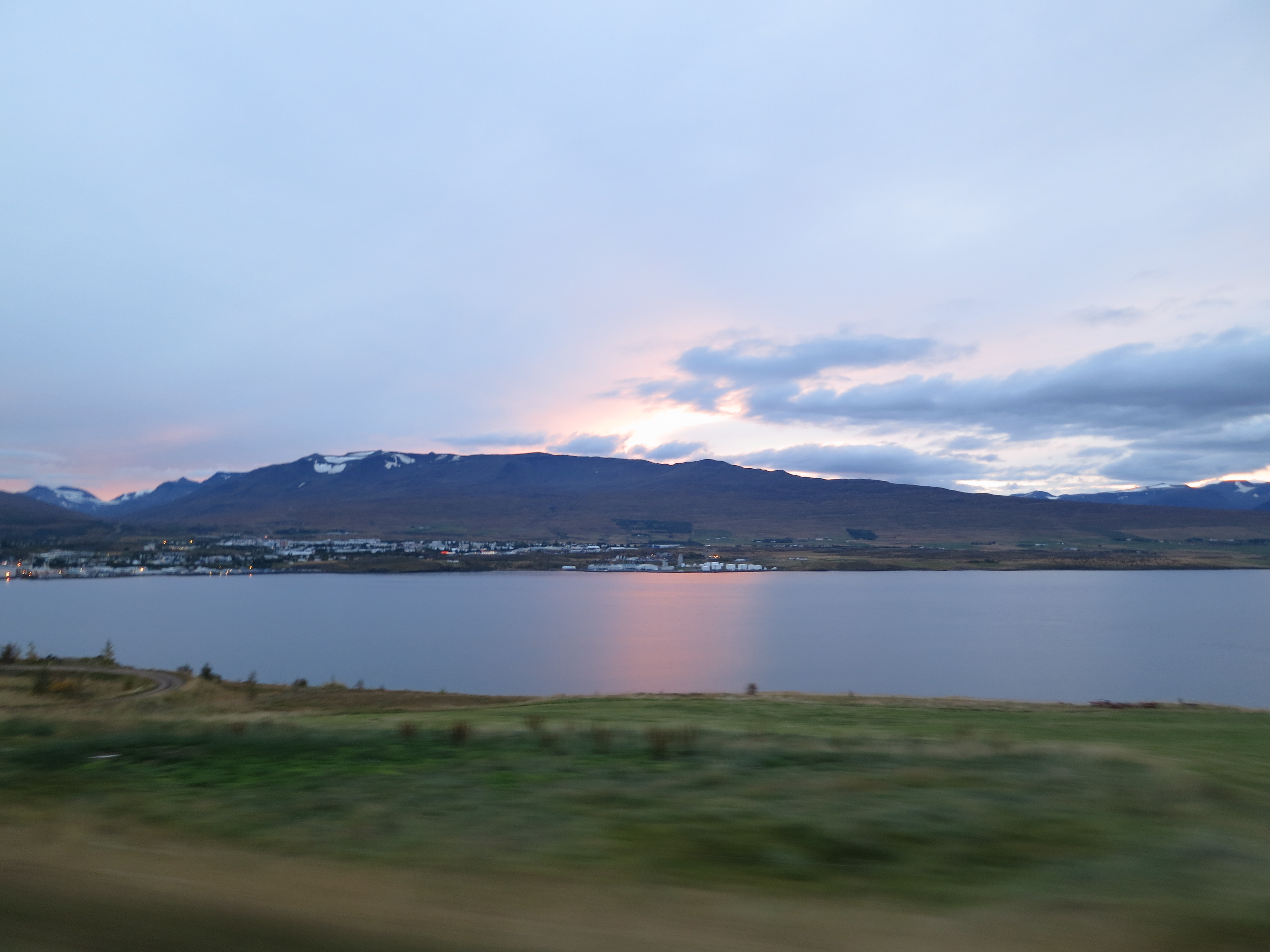
Driving into Akureyri
The sun setting over Akureyri