The third day on the road started at 07:00. We got ready and packed, and by about 07:45 were ready to get back on the road. Our accommodations did not include breakfast, so Patrick placed an order through the Tim’s app, and walked across the road to pick it up while I finished packing. We ate a quick breakfast in the motel room before packing up the car and checking out of the hotel. The car had fully charged over night, and when I pulled us out onto Highway 11 I had to physically use the brake to slow down as the regenerative brake had nowhere to put the extra energy.

The only concrete plan we had made at the beginning of the trip was a visit to Cochrane, and having completed that the next few days were entirely plan-free. We were originally thinking about either taking Highway 117 east into Quebec and down to the Tremblant area, or heading west on Highway 101 to Wawa and then down to Sault Ste. Marie. The weather for the Sault Ste. Marie area wasn’t looking great, and Tremblant was quite booked with people looking to take advantage of a long weekend to get away, and so as we headed off from Cochrane we chose a third, somewhat spur of the moment option - we were going to drive south and visit Algonquin Park. Our route would to take us down to North Bay and then across to Petawawa today, and then we would drive back through the park the next day. The exact plan after Algonquin was not clear, but we still had time to figure that piece out.
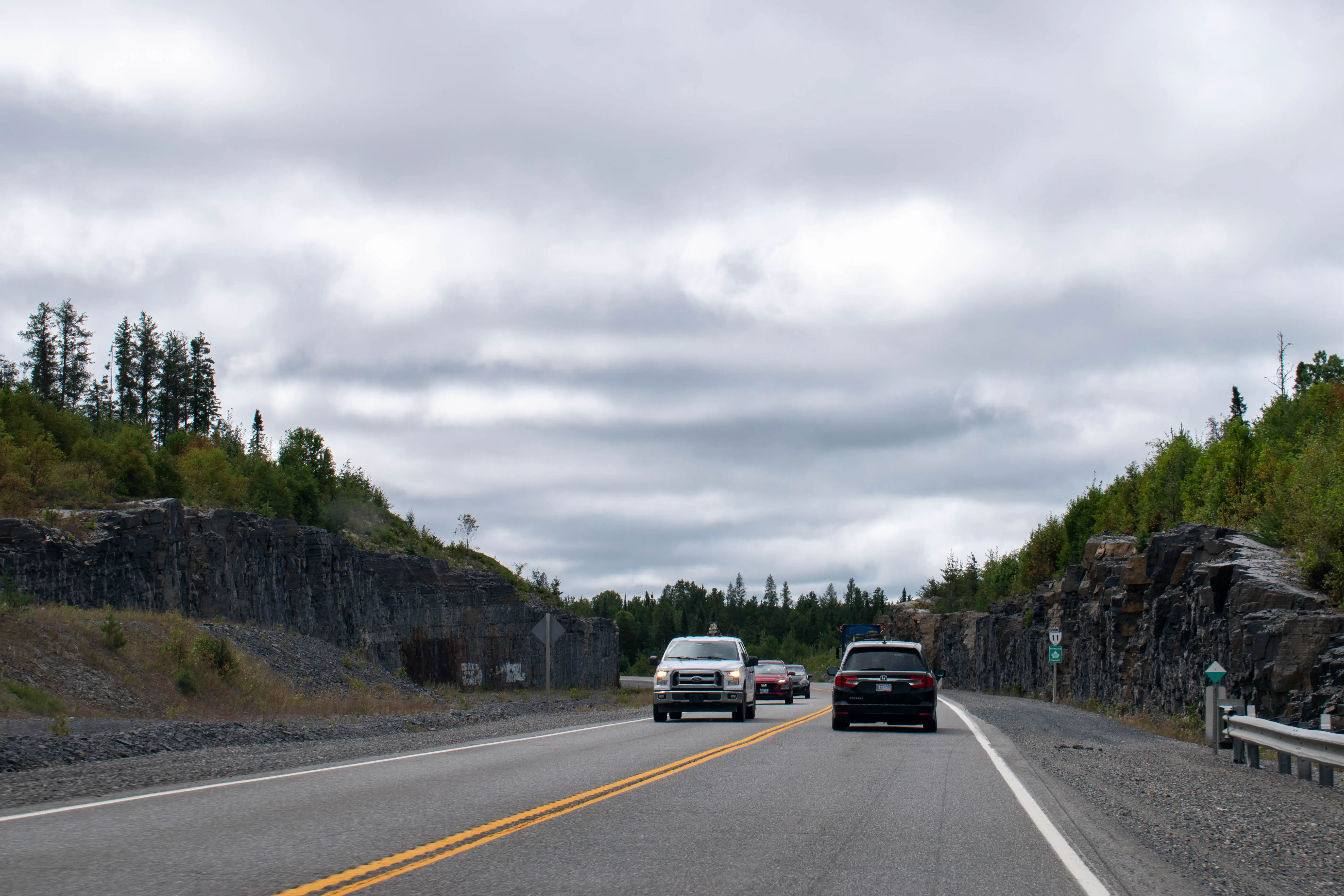
We left Cochrane heading south and east on Highway 11. Almost immediately we saw a sign for the 49th Parallel Park, and we pulled off the highway for a quick stop. The town of Cochrane is located just north of 49° latitude, and there is a small park located right on the parallel to mark this. We took a few photos and then continued the drive.


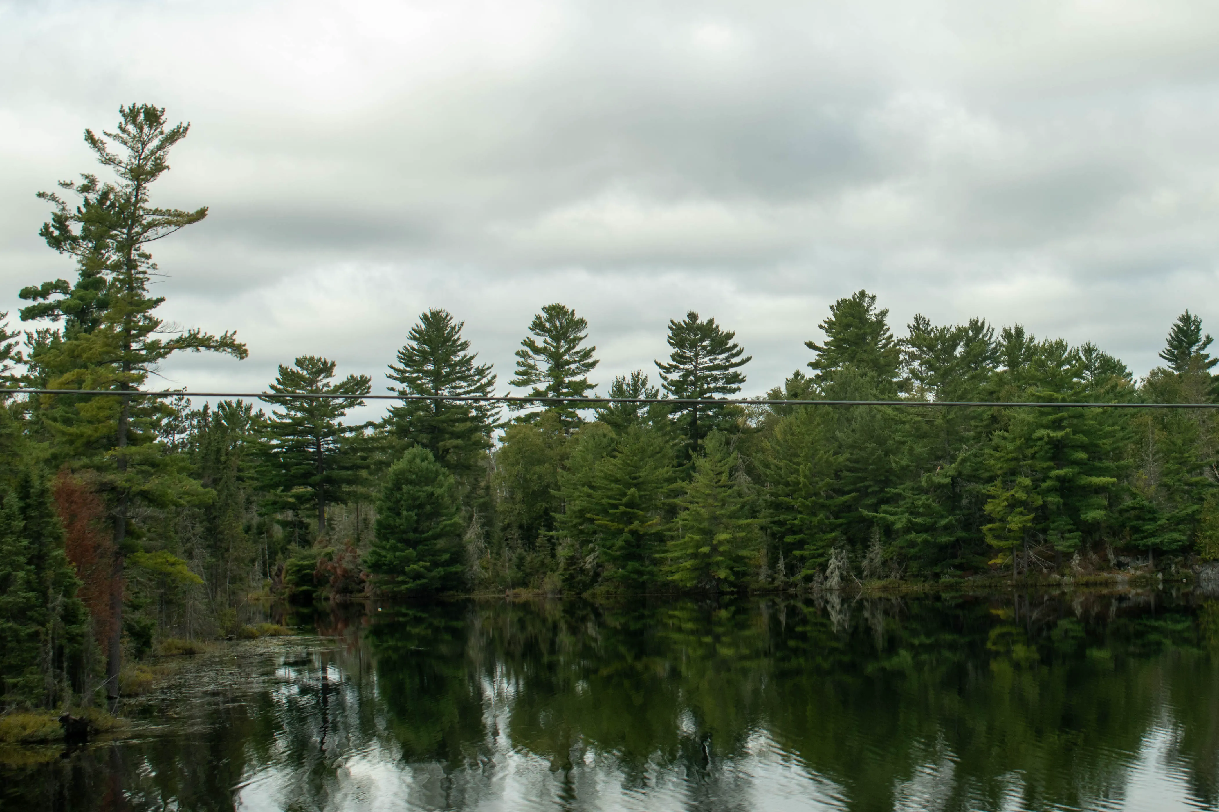
The next place that we were going to be able to charge was in North Bay, and we had about 370 km of driving to do in order to reach the charger. The car had about 100 km of range beyond what was needed to reach North Bay, and so as we were driving south we were keeping our eyes on the road signs to see if there was anything interesting to stop and see. After about an hour’s worth of driving we saw a sign for the Toburn Gold Mine in Kirkland Lake, and decided this would be a fun place to take a break. The drive to this point had been fairly easy, though there had been a few stretches of fog that required a bit of care to navigate. The previous night had gotten down to close to 0° Celsius, and especially by some of the lakes that border the highway the colder evening had created clouds of fog over the warmer waters.
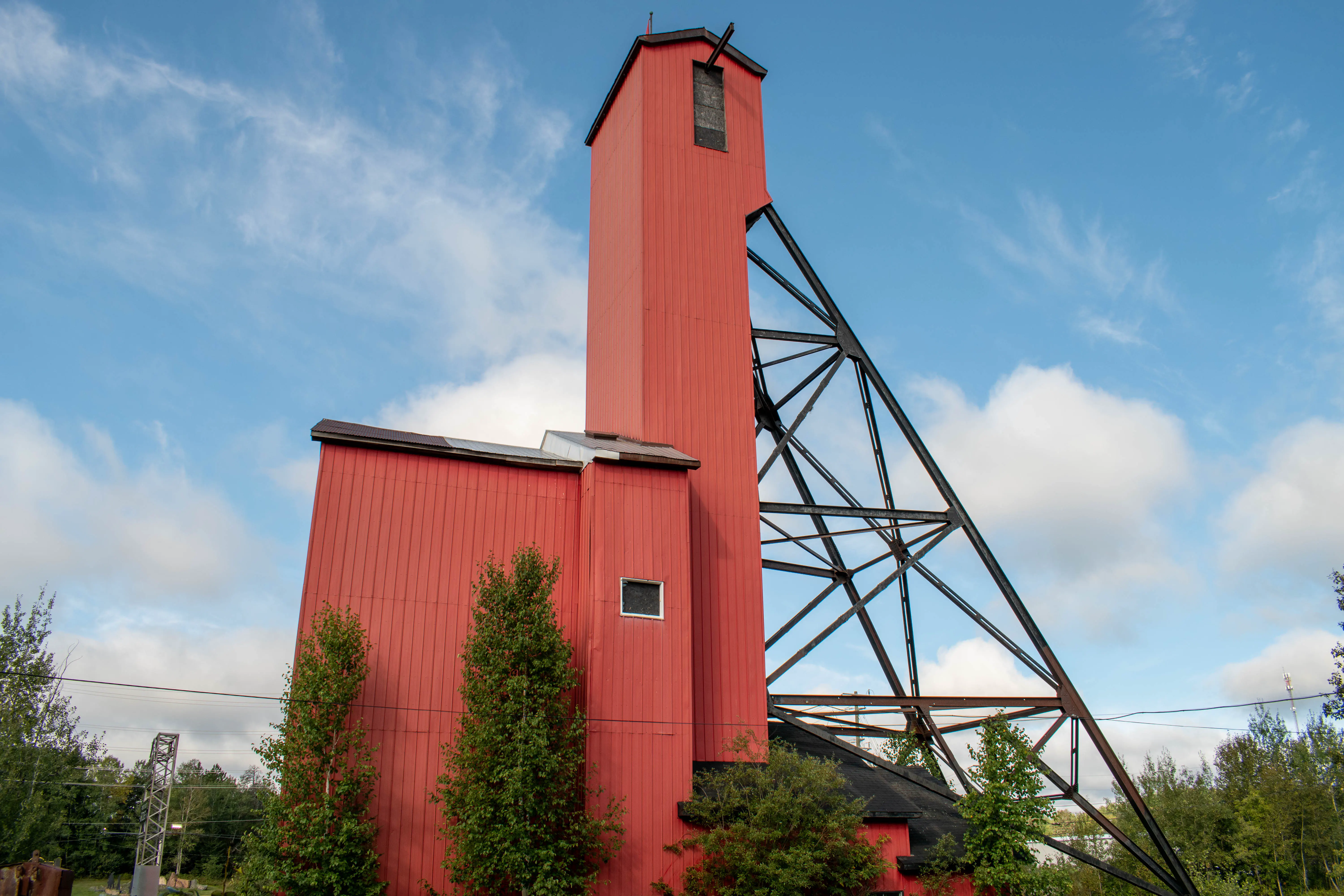
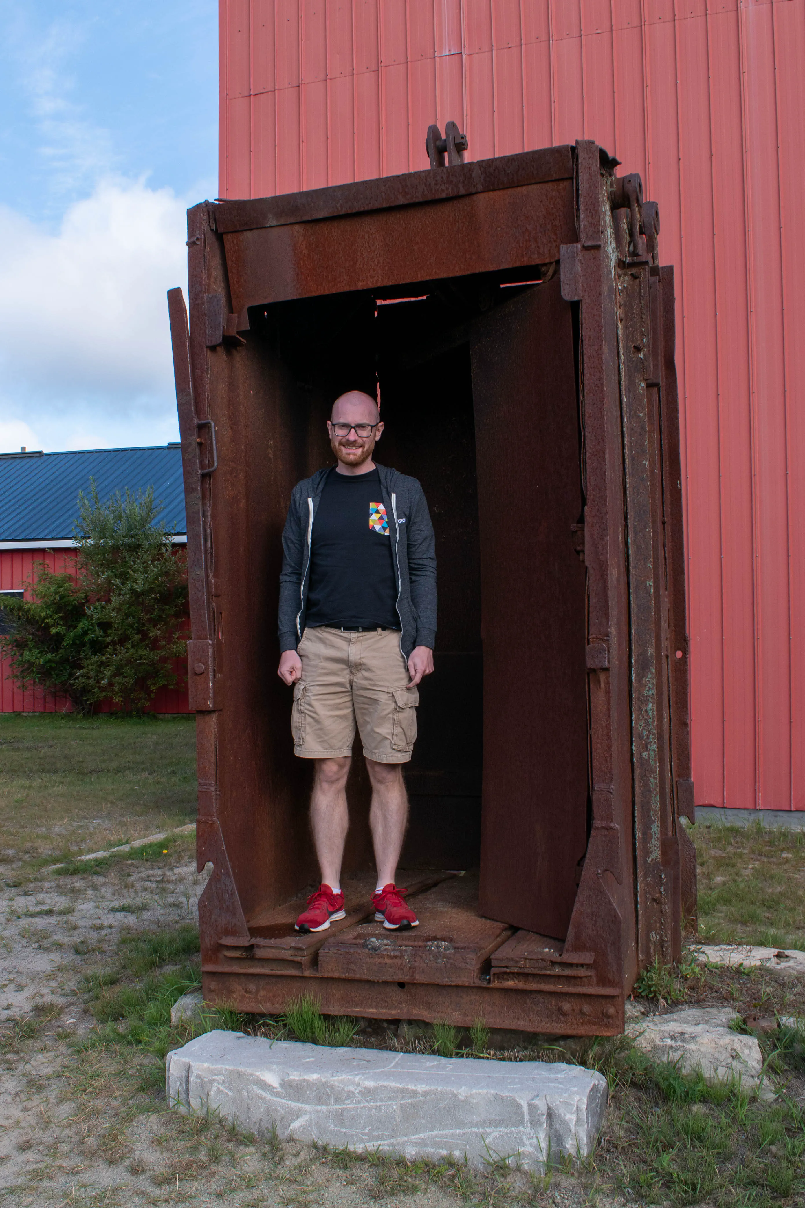
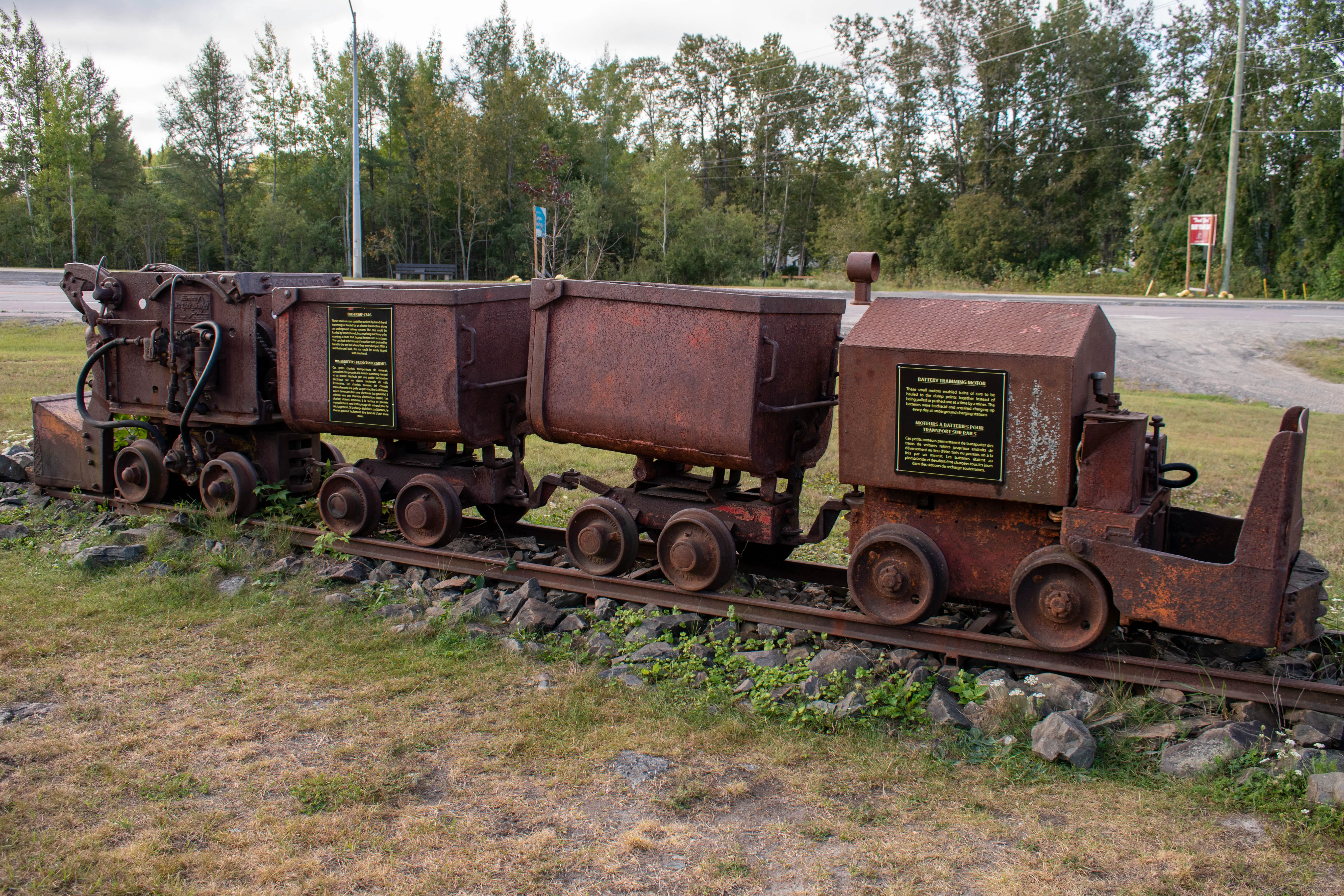
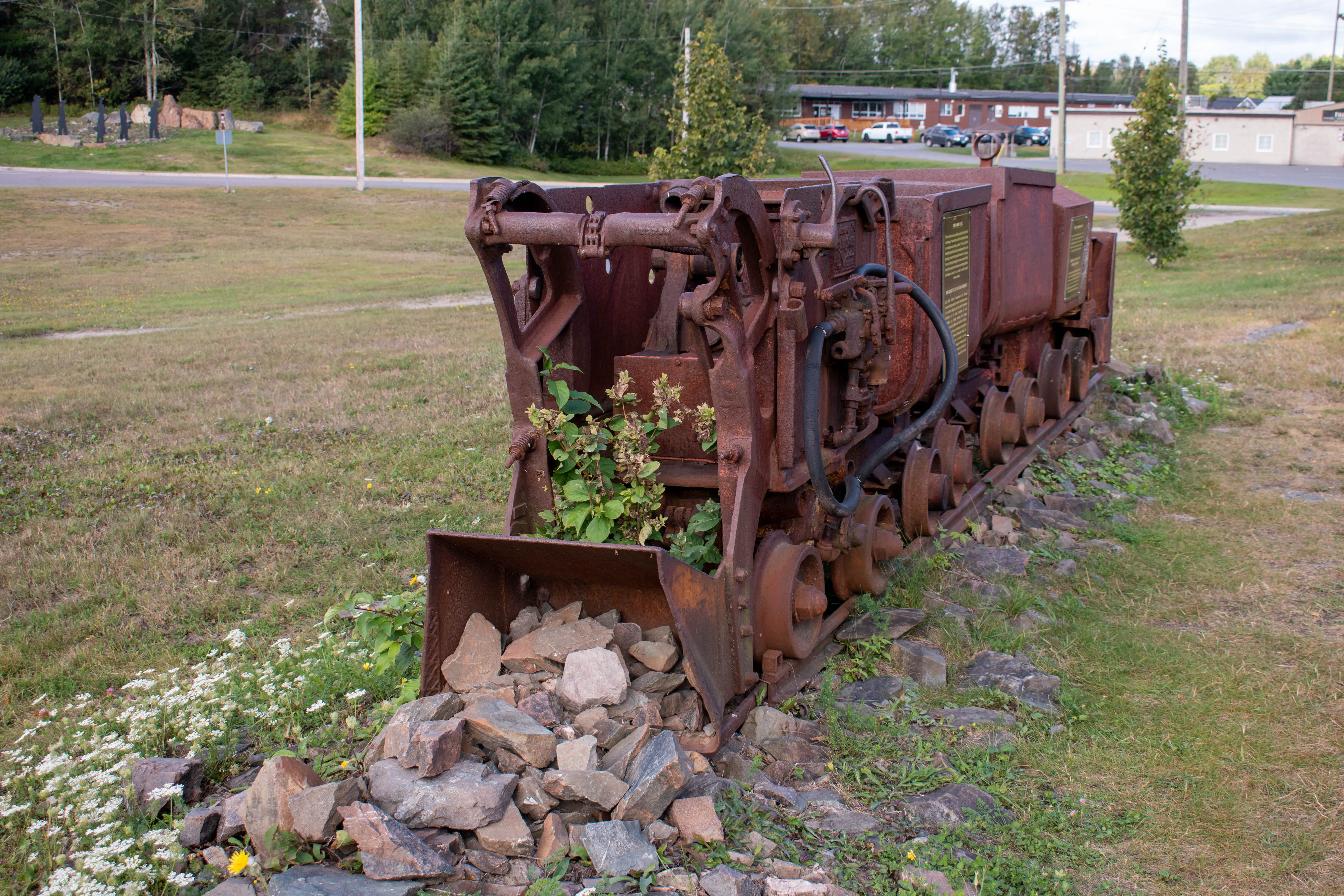
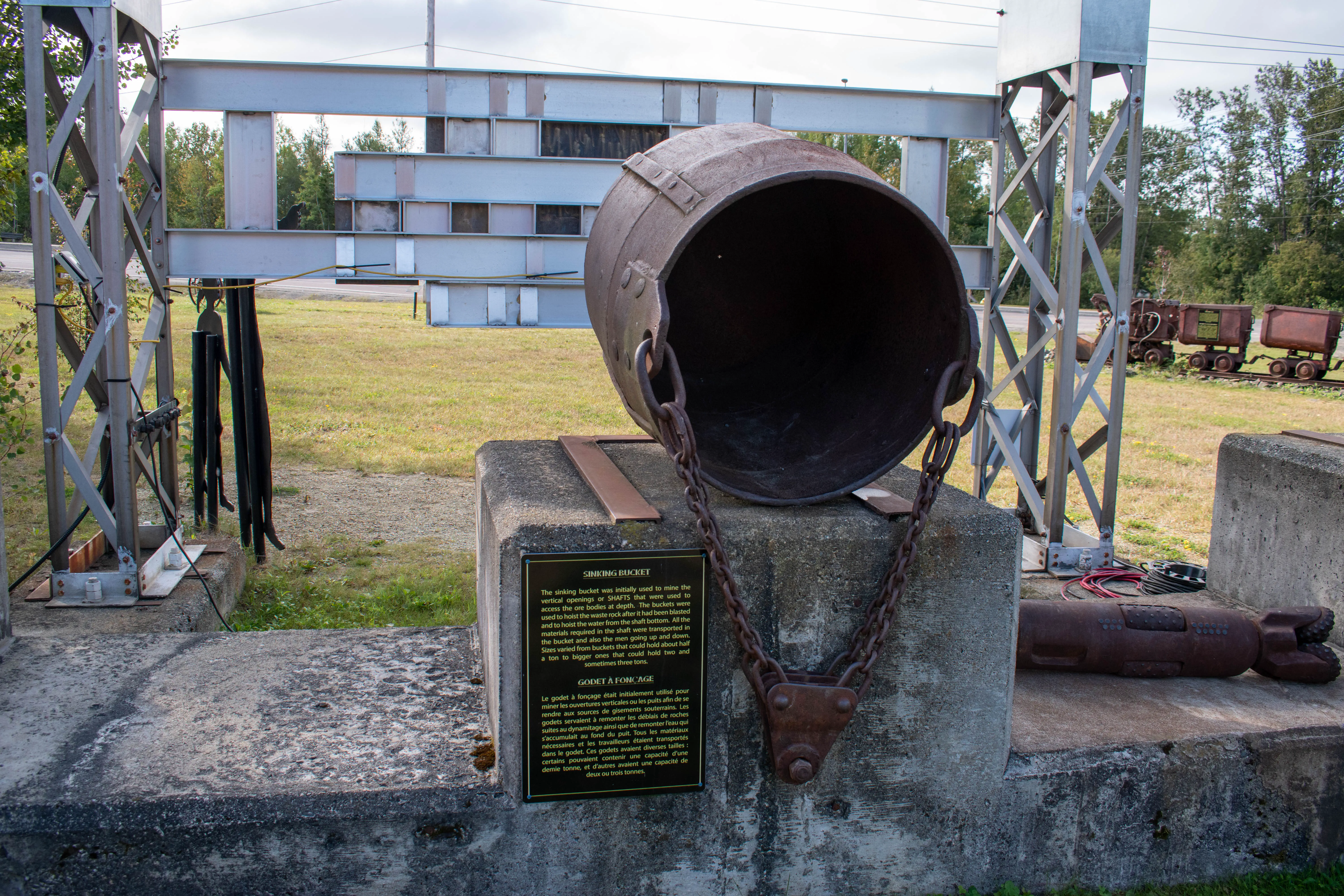
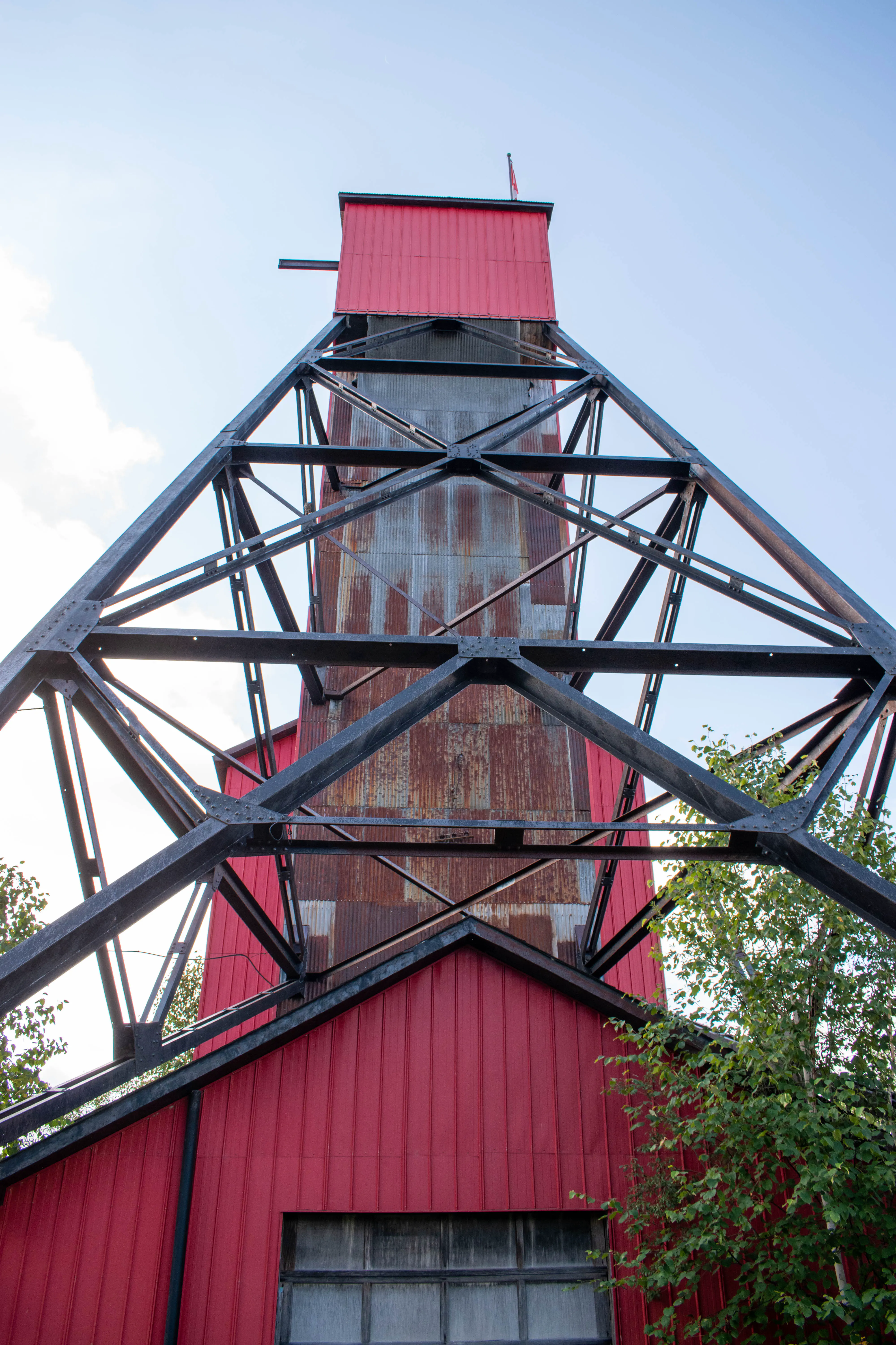
It took us a bit of time to reach the left turn at Kenogami Lake, but as we turned off Highway 11 onto Highway 66 it was exciting to go a direction other than straight. It was about 15 minutes to reach Kirkland Lake, and required driving through the unfortunately named town of Swastika. The Toburn Gold Mine was on the far side of Kirkland Lake, and so we drove through the town in order to reach it. We got out of the car and toured around the historic mine - the buildings were closed, but there were a number of old mining artifacts with descriptions to explore. Overall it was an interesting stop, though if we had been able to go into the mine shaft building that would have been cool!
We got back into the car and stopped at the Tim Horton’s in Kirkland Lake for a quick bathroom break and coffee stop. When we were ready to go, Patrick got behind the wheel and continued the drive south on Highway 112 - this saved us from needing to backtrack to Highway 11.

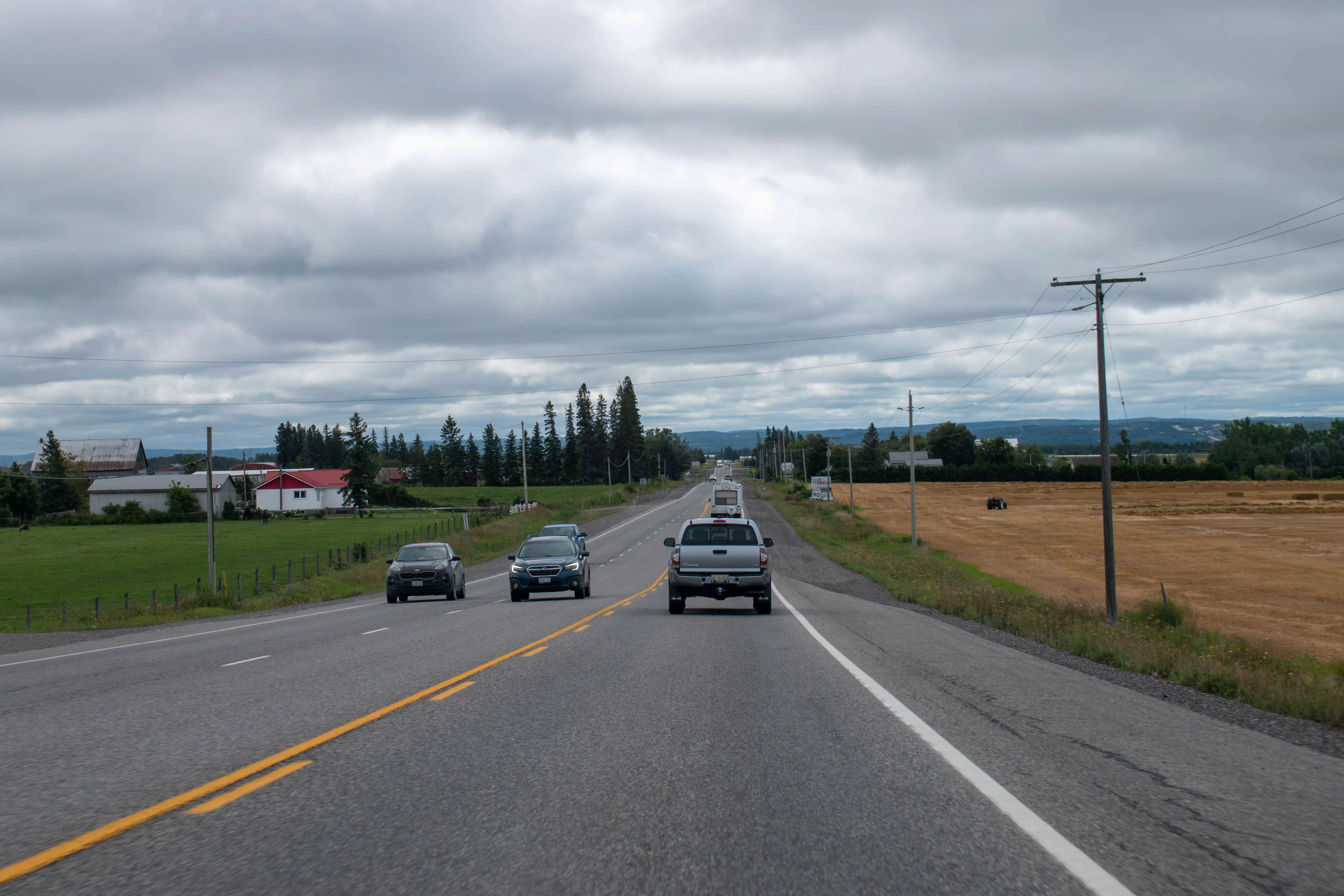
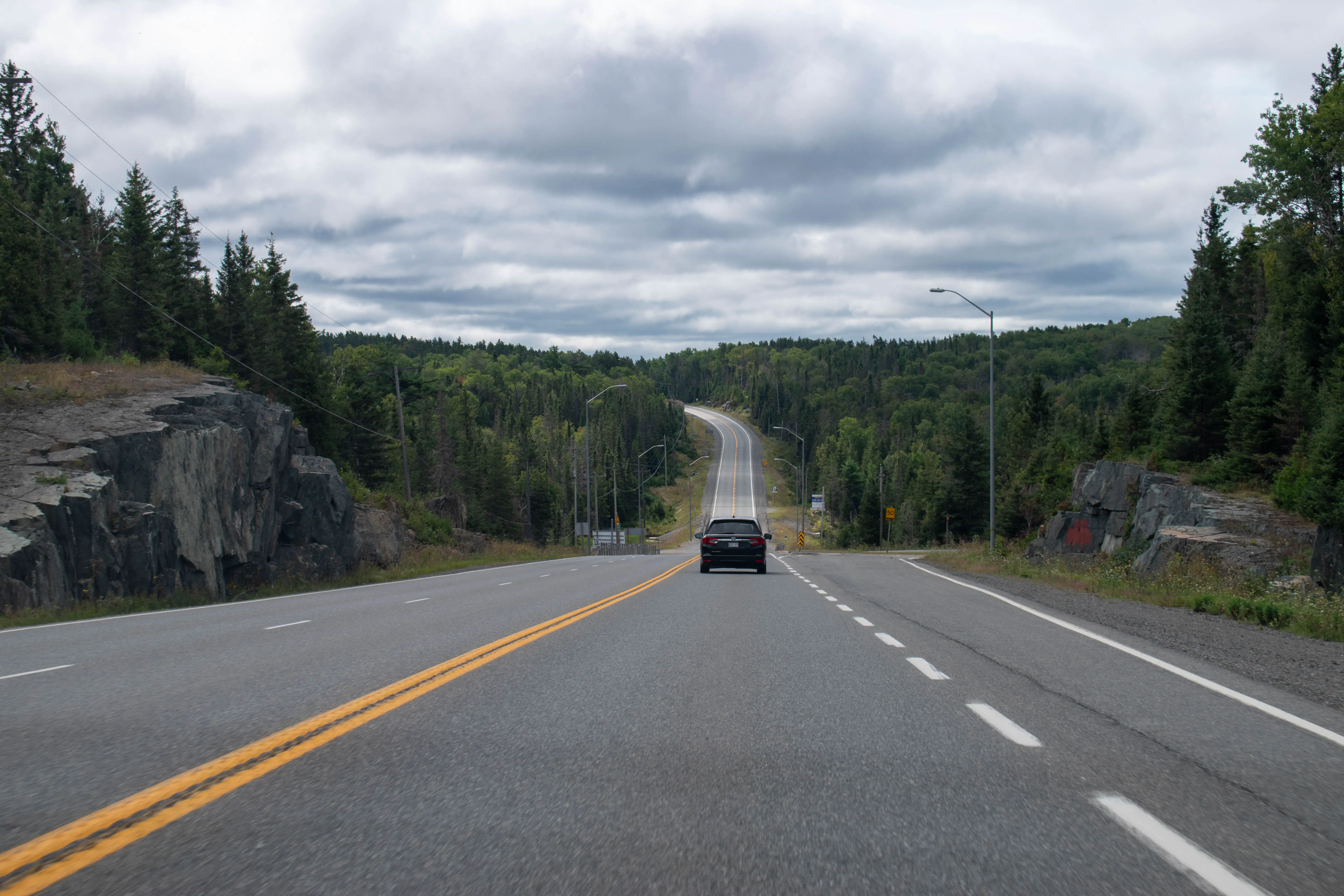
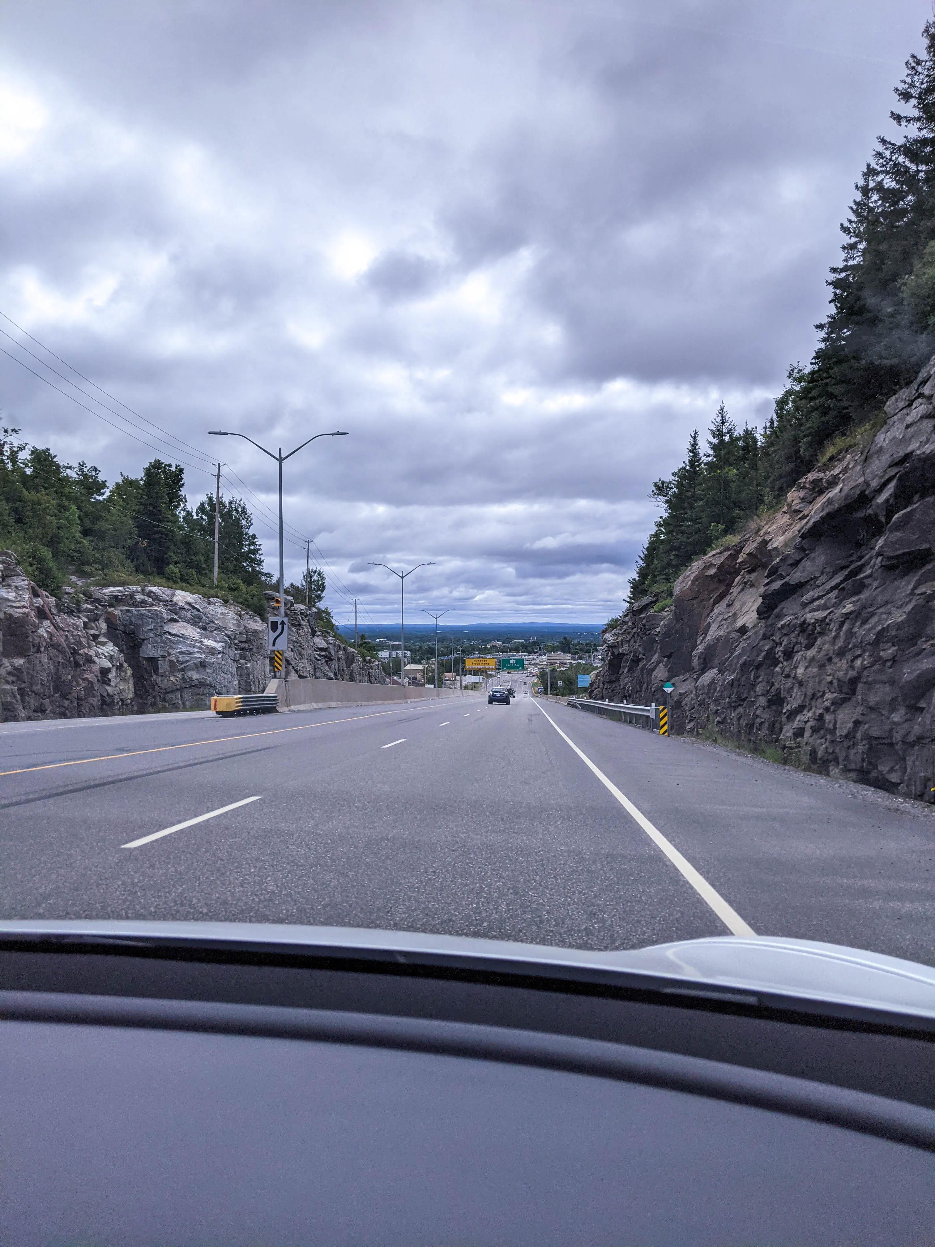
The drive continued on Highway 112 until we joined back up with Highway 11, at which point we continued south towards North Bay. The hills had smoothed out a bit on this section of the drive, and with the sun high in the sky the fog from earlier had dissipated. We saw a number of farms on this stretch of the drive, a marked change from farther north where forest and rock were significantly more common sights. The rocks, lakes and forests were hardly done for, though. We arrived in North Bay after noon, in time for a later lunch. We had no difficulty finding the Supercharger location, though we did get the last available spot. Once parked we walked to Syl’s Neighbourhood Kitchen for lunch. I had a clubhouse sandwich, which was a nice change of pace from the heavier meals we’d had the previous day. There was a bit of a wait for our meal to arrive, and so once we had finished eating Patrick went back to retrieve the car while I settled up the cheque. One concern we had was how busy the Supercharger was - if you leave your car plugged in once it has fully charged Tesla will charge you a penalty fee for every minute you are keeping the spot occupied. We timed things just right - the car was just finishing up the charge when Patrick unplugged it, so we don’t believe we incurred a penalty at this stop.
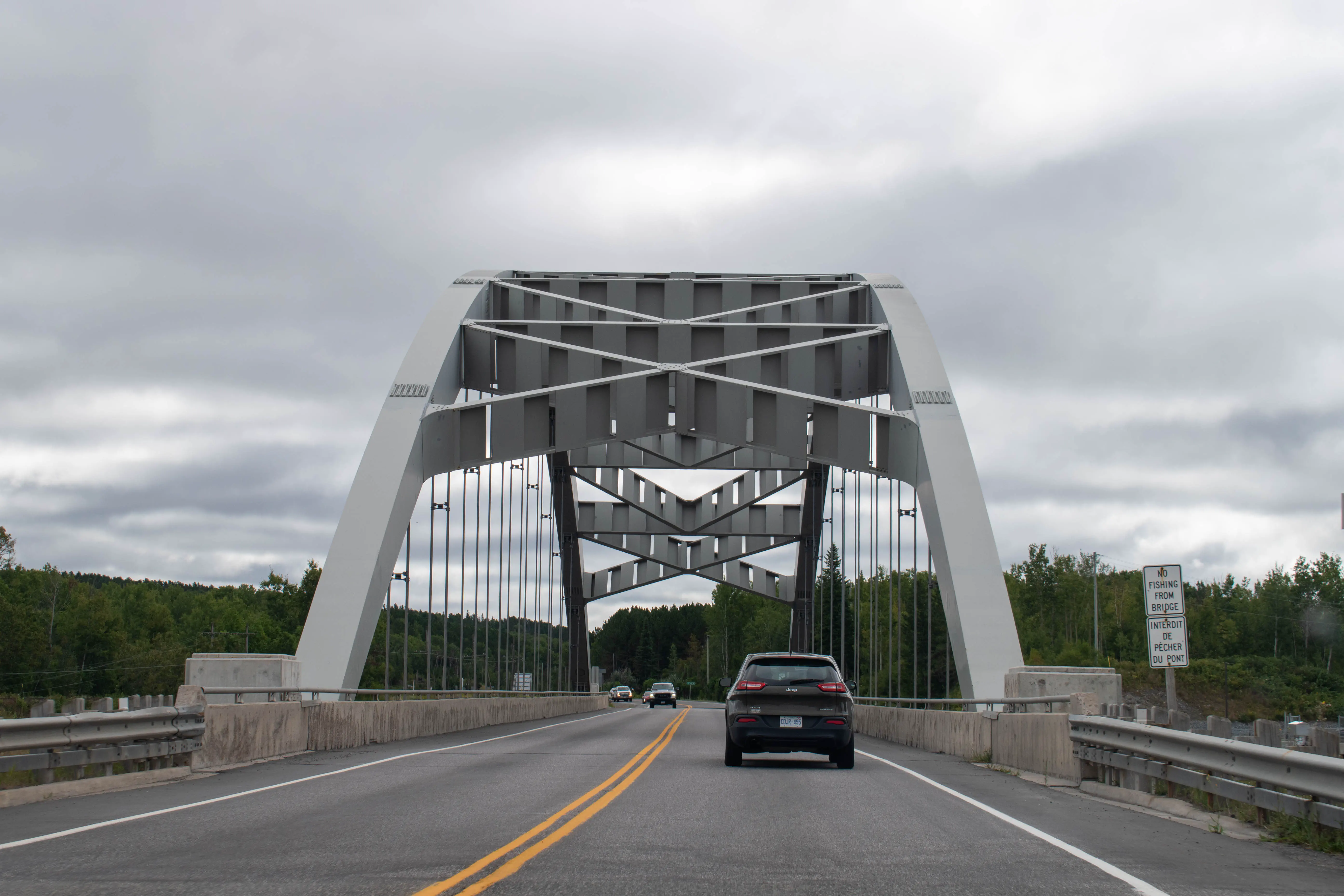
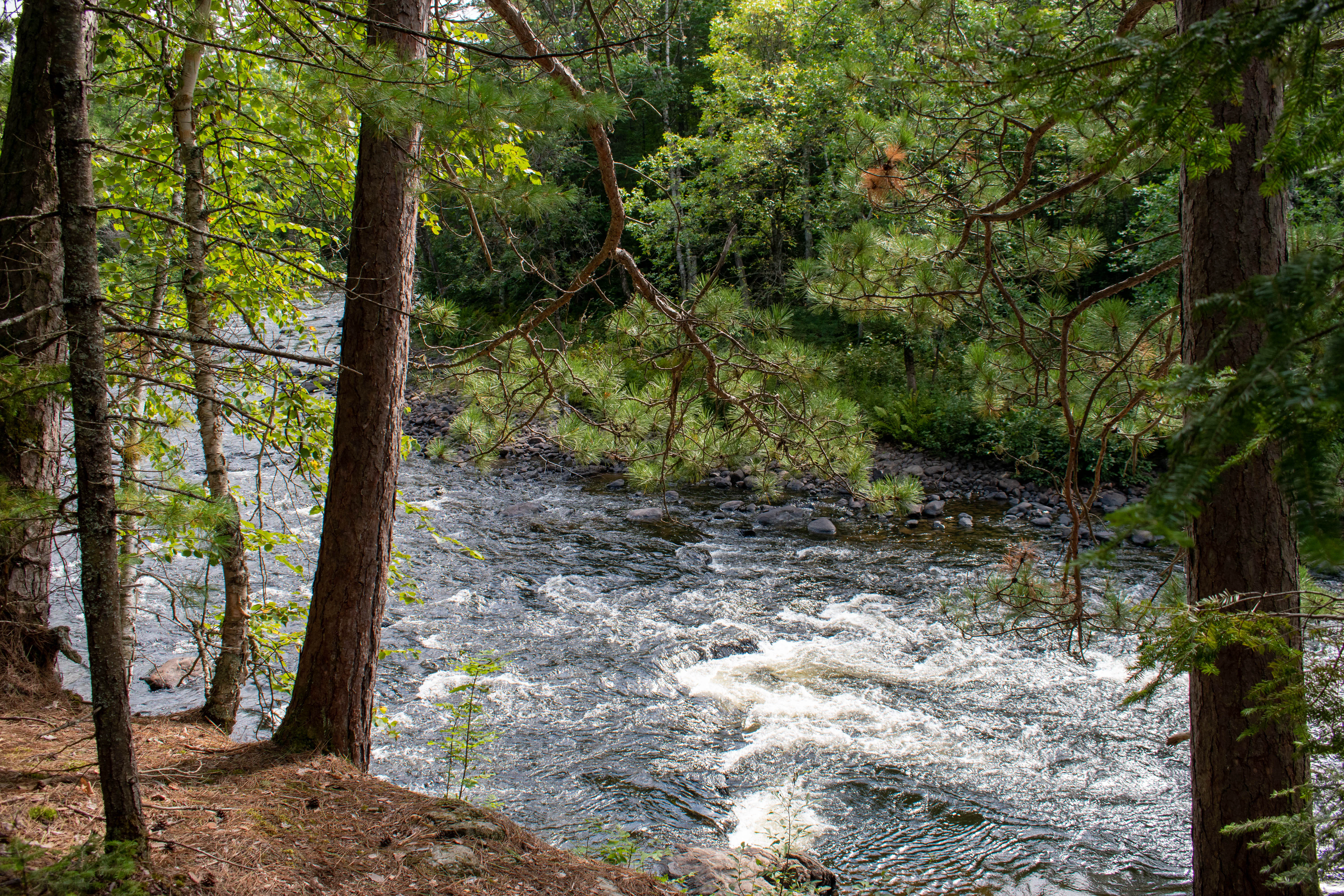
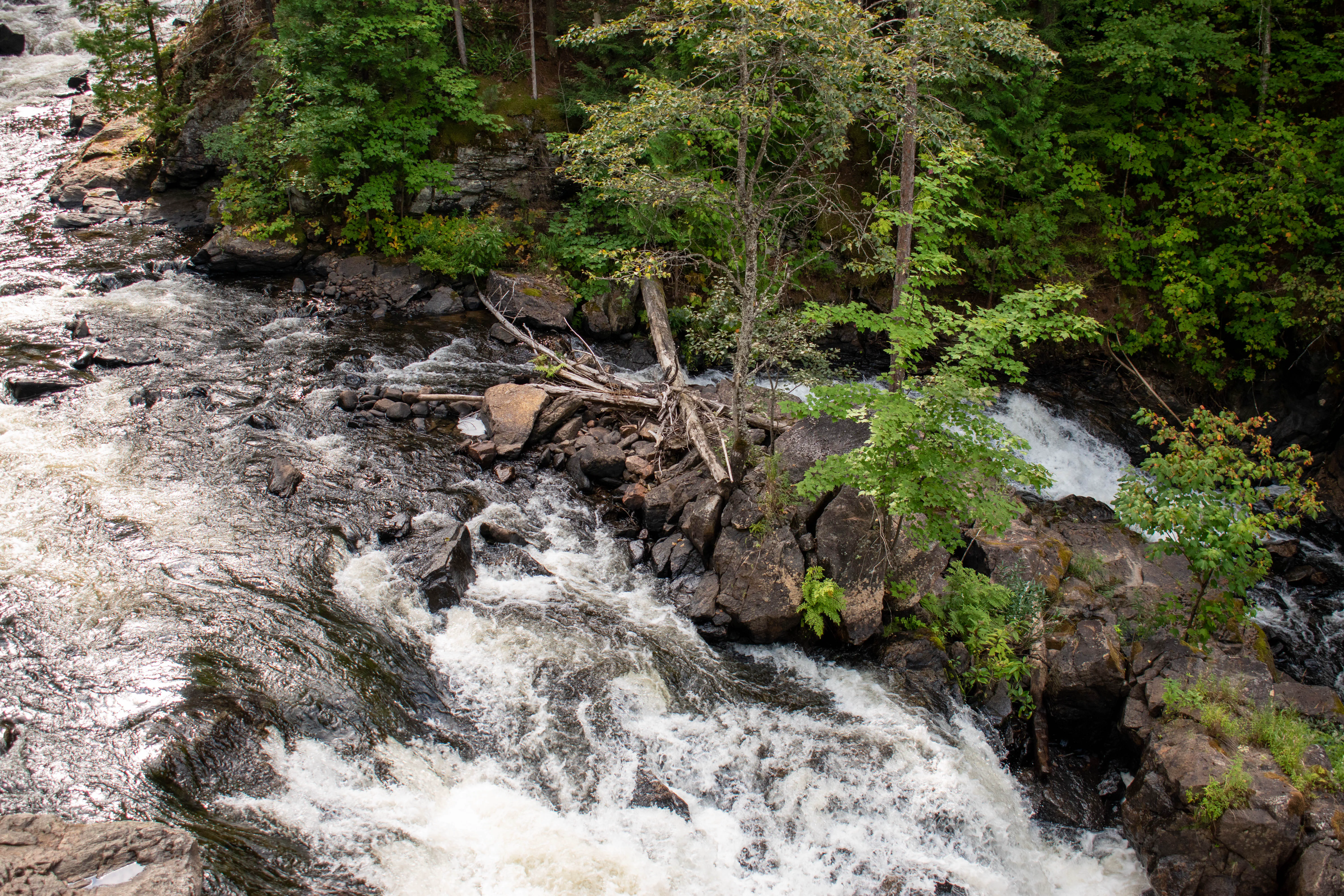
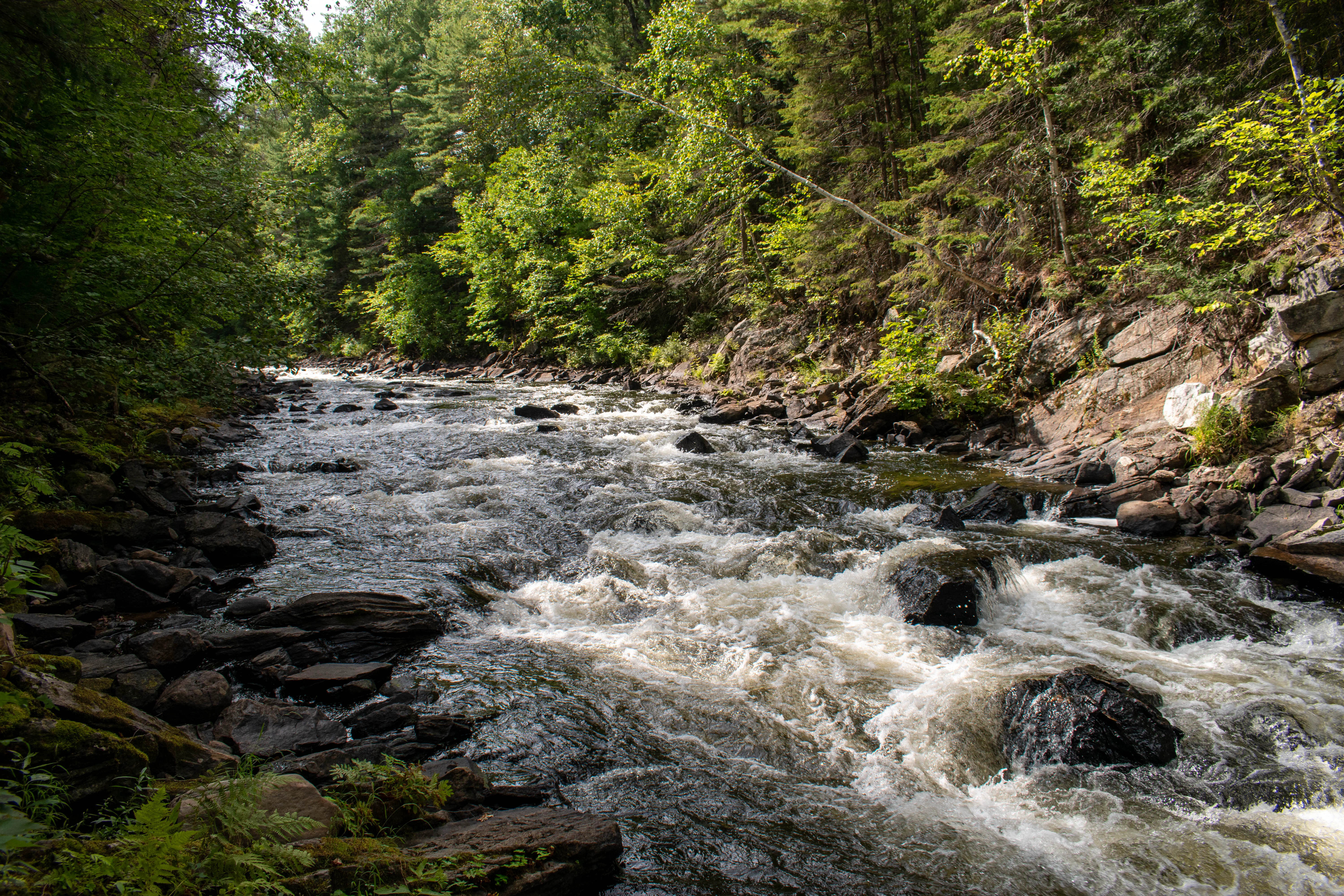
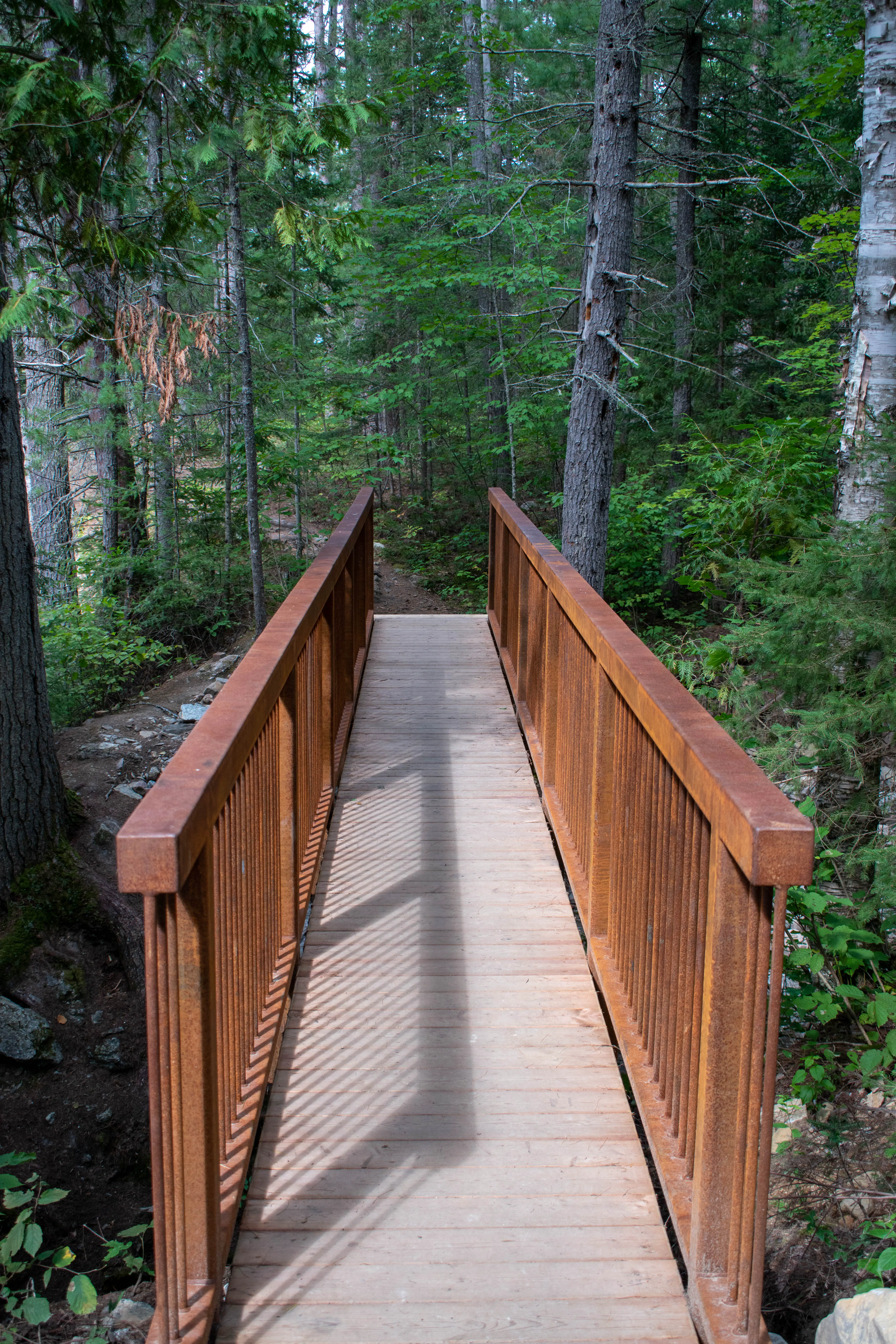
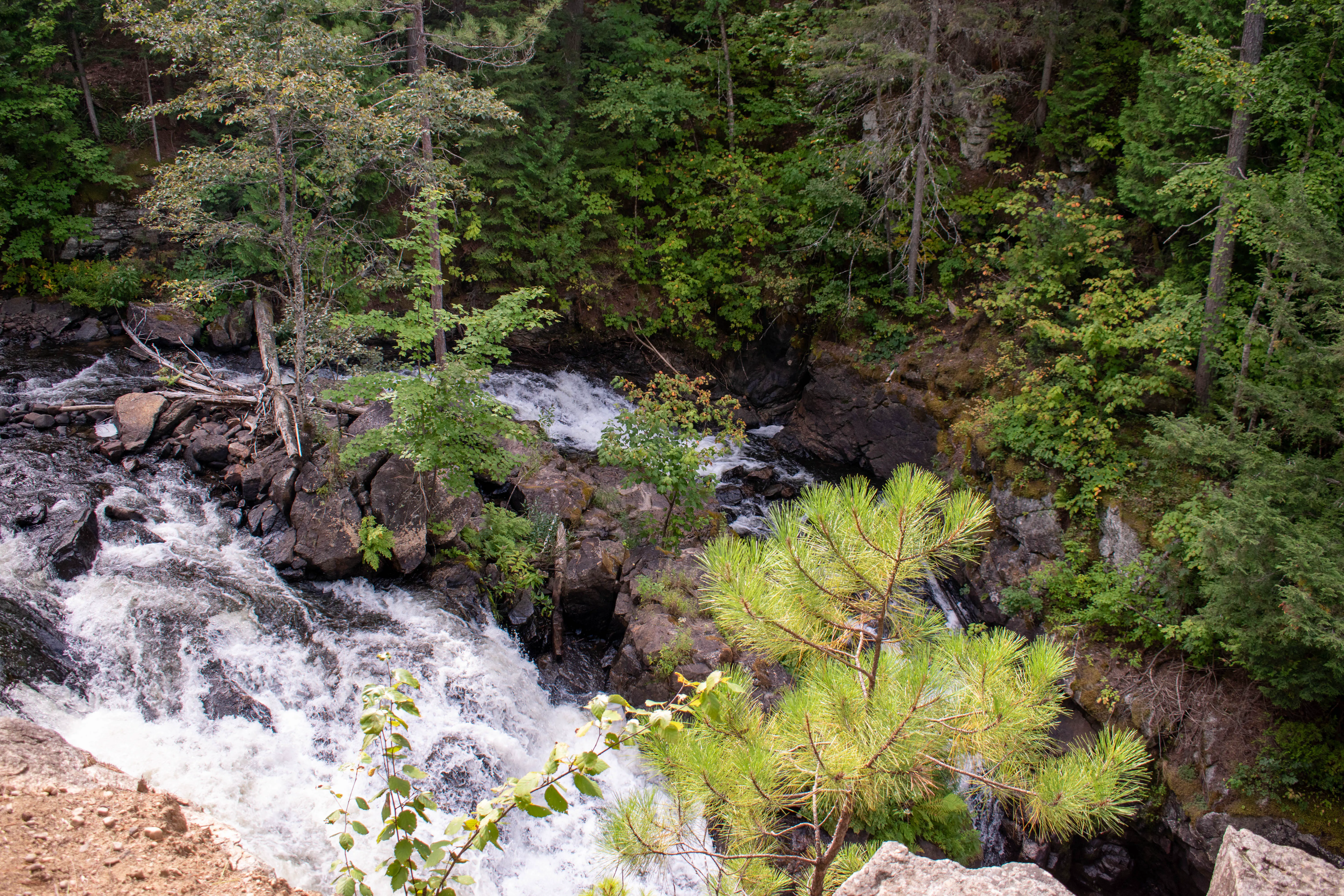
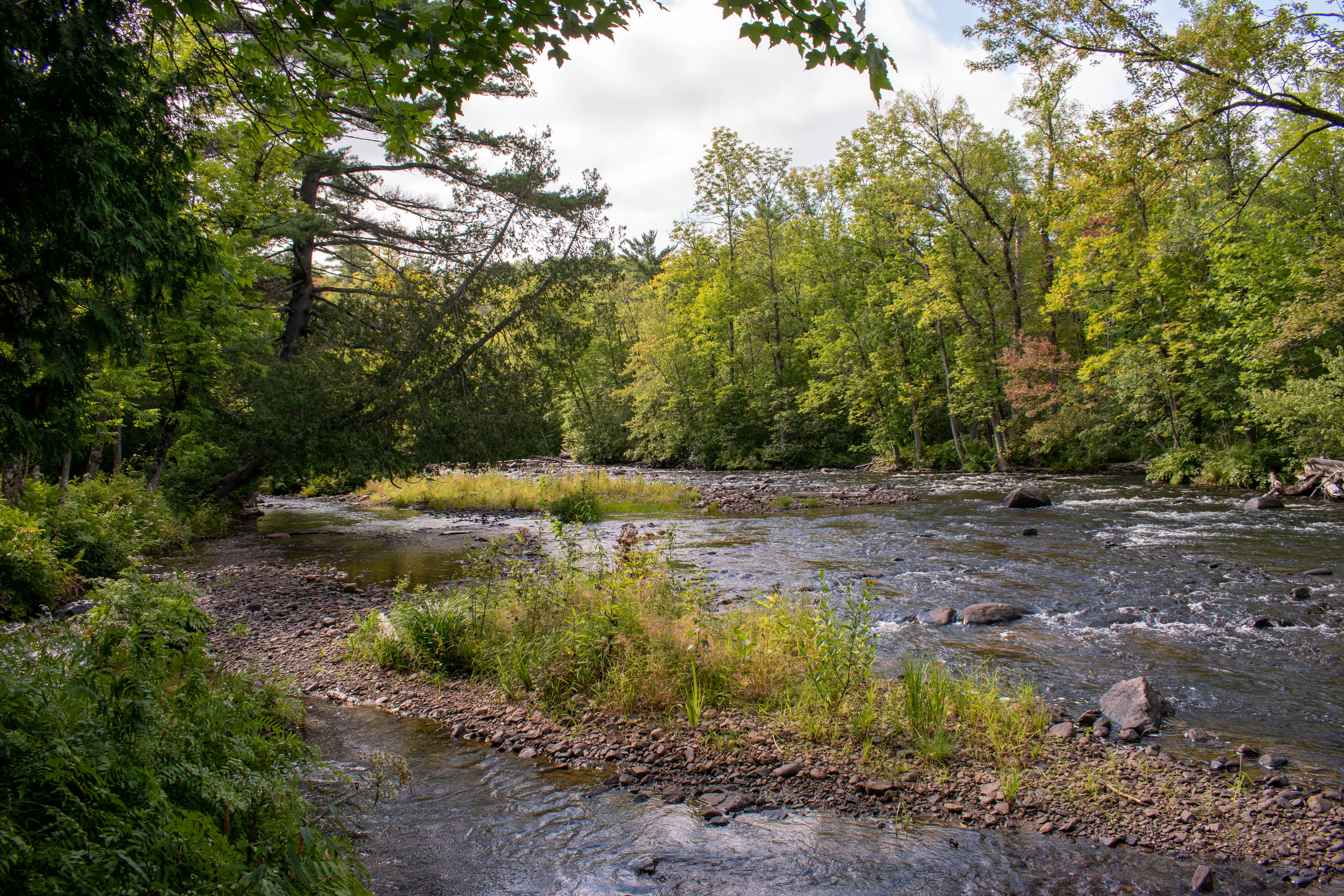
Our next stop was not far, and so Patrick remained behind the wheel as we navigated through North Bay to Highway 17, which we took eastbound onto the northern section of the TransCanada highway. We drove for about half an hour along Highway 17 to reach Eau Claire Station, where we turned right onto Highway 630. We wanted to spend a bit of time in the afternoon hiking, and the first place we chose to visit was the Eau Claire Gorge Conservation Area, only a few minutes from Highway 17. The conservation area parking lot was a bit awkward to reach in the car, as there were some reasonably steep gravel hills between the road and the parking area, but the Tesla was able to handle the gravel road with no problems. After parking we got out of the car, applied some sunscreen, and started walking the roughly 2 km hiking loop. The trail mostly followed the river, taking us right to the gorge after which the area is named. It was a beautiful afternoon to be out for a walk, and it was a nice trail. There were surprisingly few safety rails or fences, which gave the trail a rugged feel, but also required that we pay a bit of attention to where we went. We spent approximately an hour in the Eau Claire Gorge conservation area before we got back to the car and continued down Highway 630 towards the campground at Kiosk.
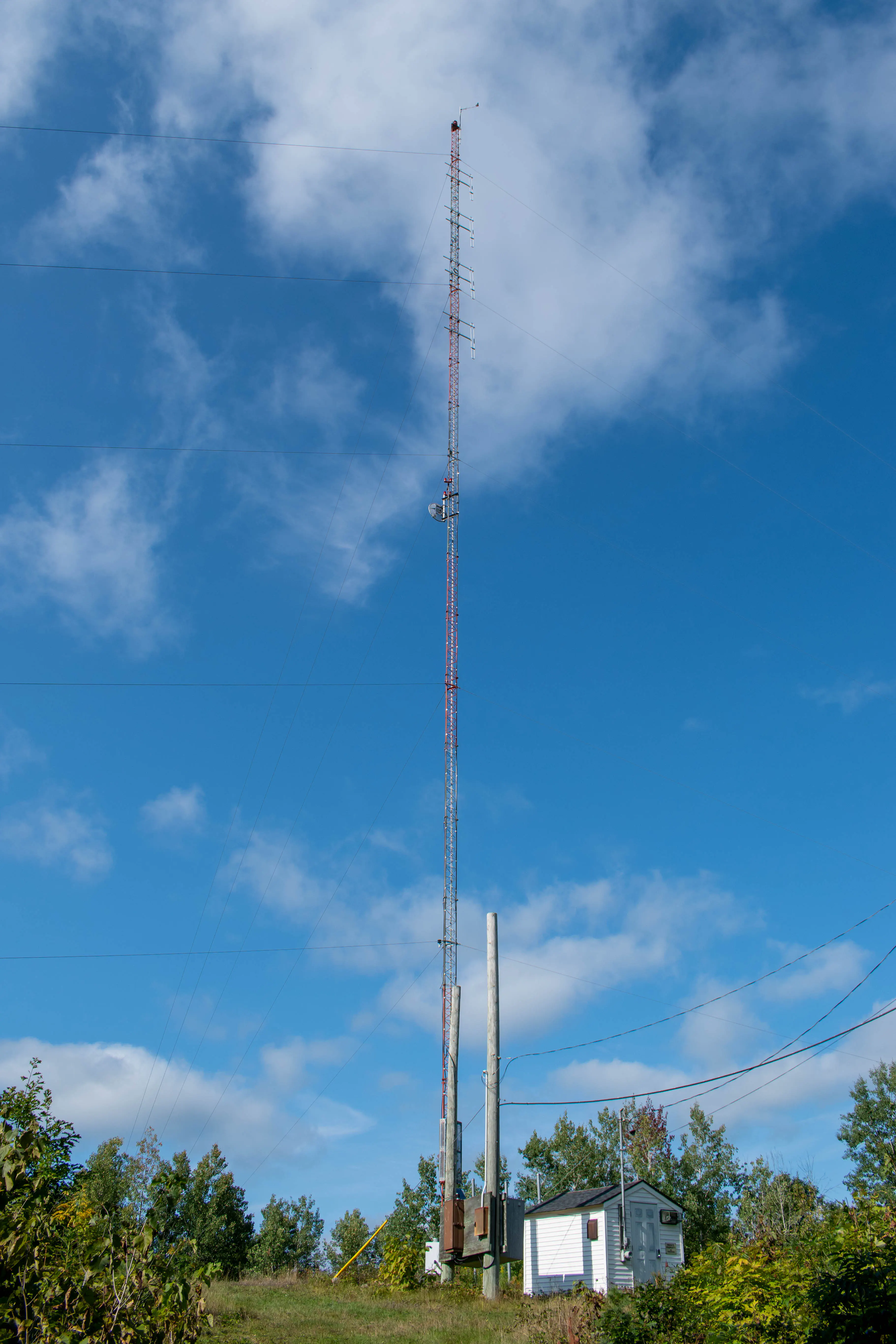
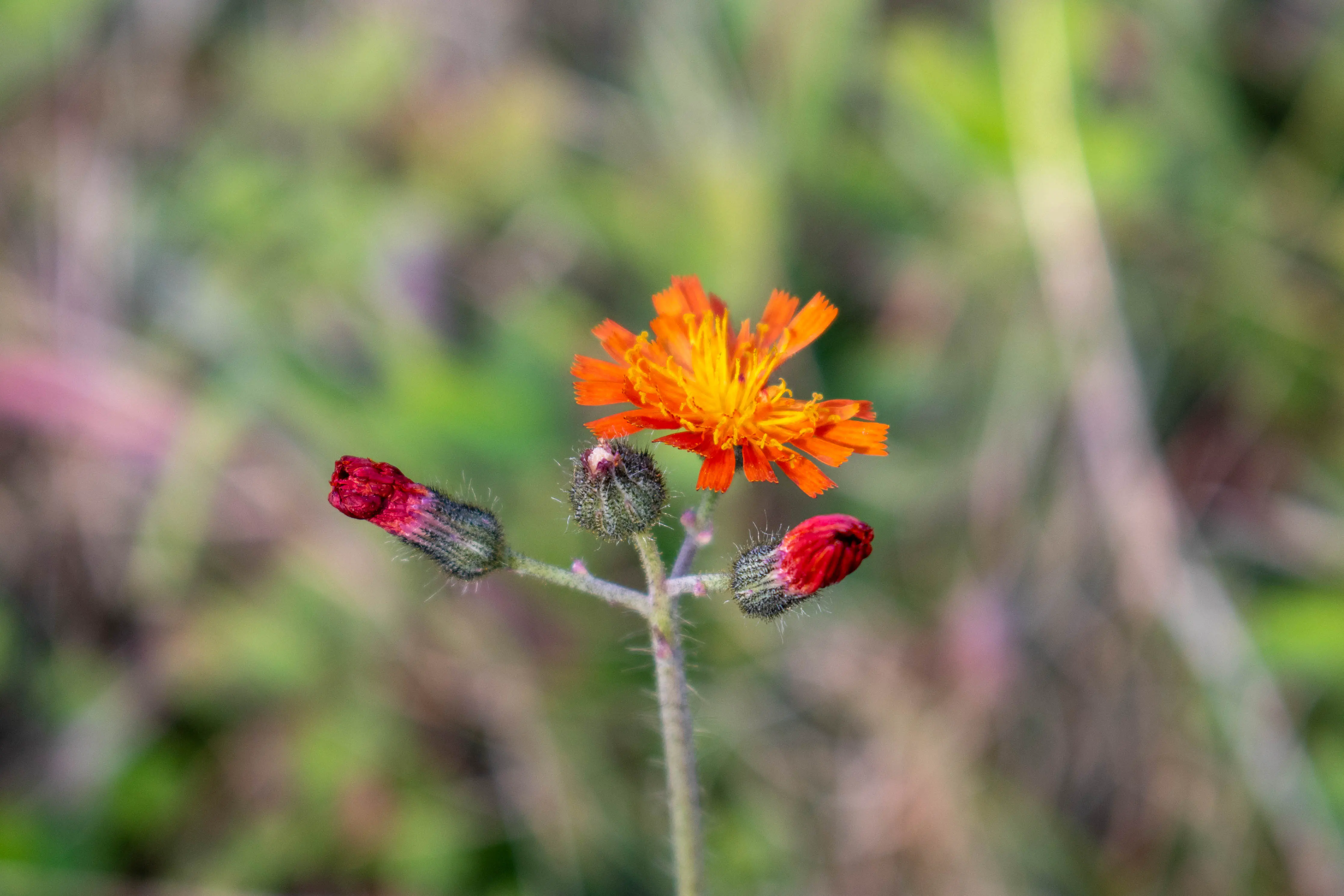
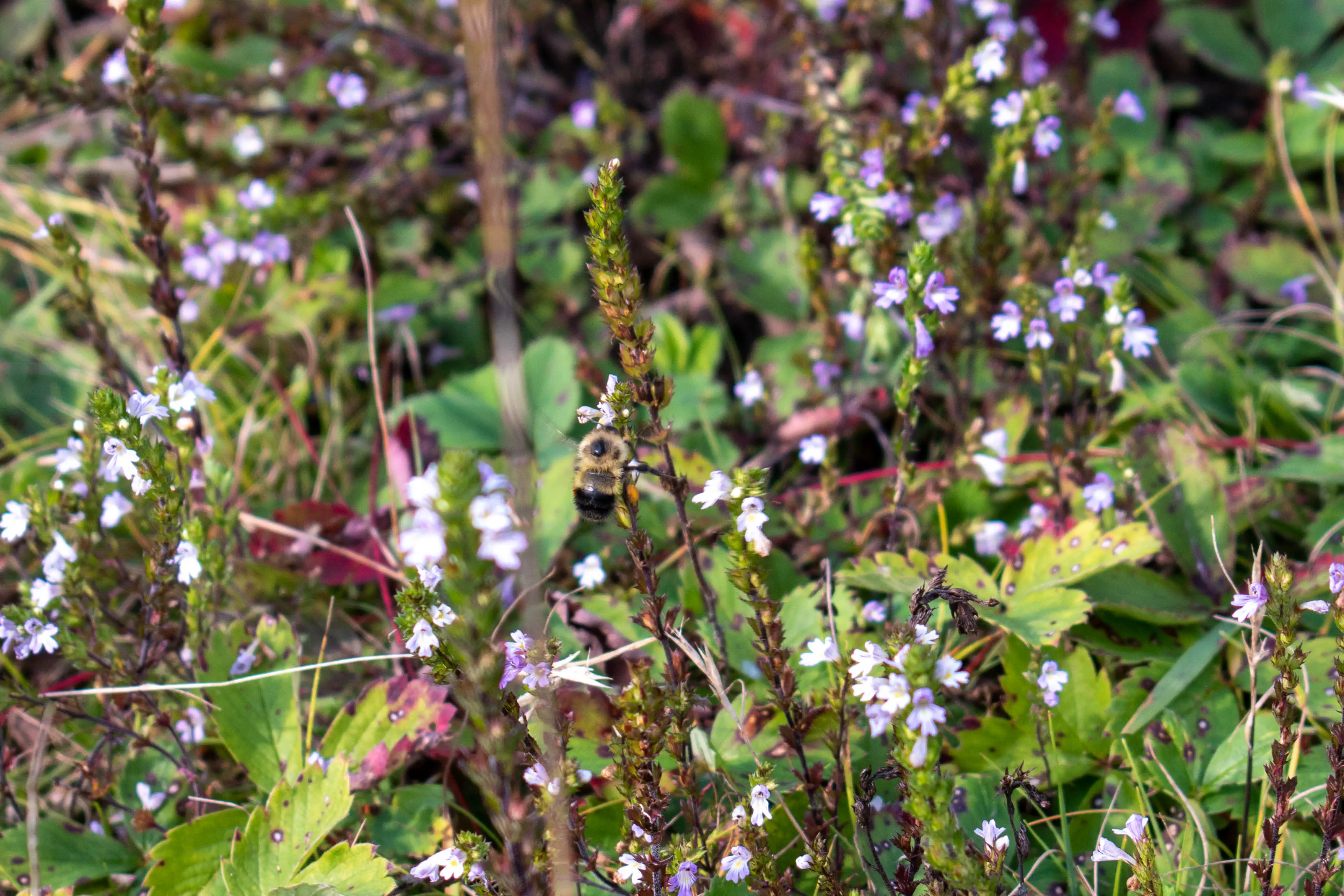
We drove for about 20 minutes, keeping our eyes open for another hike we could do. We eventually pulled onto a small side road that looked like it led to a trail, and then started hiking up what appeared to be an old access road. We followed the trail to the top of the hill, and discovered a small transmission tower in a clearing among the trees. There were some pretty clover fields around the transmission tower, and we spent a bit of time looking for any indication of what the tower was used for. Unfortunately there weren’t any clues, so the purpose of the tower remained a mystery. We didn’t remain at the top of the hill for long; and after returning to the car I got behind the wheel. It was getting a bit later in the afternoon by the time we were back in the car, so we decided we had done enough hiking for the day. We drove back up to Highway 17, where we continued on our drive.
Our destination for the evening was Petawawa, however there was no supercharger in Petawawa and so after driving for about 90 minutes we stopped in Chalk River to charge the car. We had no issues finding the charger and there were lots of available spots. As the car charged we opened up the web browser built into the entertainment unit in the car for the first time of the trip, and watched some videos on YouTube. This was a pretty effective way to kill the time we needed to wait for the car to fully charge; we spent about 45 minutes watching videos before the car was ready to go. We pulled out of the parking lot and continued on to Petawawa. As we got close to Petawawa it was interesting to see signs on either side of the highway warning that the forest was Department of National Defence property; given the large military base located near Petawawa this was not terribly surprising but still interesting. We weren’t going to be going for another hike on an unmarked trail here.
We reached Petawawa around 19:00, and drove right to our hotel. We had booked a room in another TownePlace Suites, and it felt very similar to the one we had stayed at in Sudbury. It was getting dark as we were getting settled into the hotel, so after a quick look we settled on having dinner at Boston Pizza and headed out. The Boston Pizza was a 10 minute walk from the hotel, and we had no problems getting a table on the patio. We both ordered fish bowl cocktails and pizza for dinner - it was an enjoyable meal. During the meal we formulated our plan for the next day; it was at this time that we discovered that hotel selection in the Huntsville area had gotten very limited (there were basically no hotel rooms north of Barrie available). It was the beginning of the Labour day long weekend, so it was perhaps to be expected, but availability had looked alright the day before so this threw a bit of a wrench into our plans. We left the restaurant around 21:00 without a firm plan for where we were going to stay the next night, however we knew that we would be hiking in Algonquin Park the next day so we stopped by a Shoppers Drug Mart to pick up some items for lunch. Stores close early in Petawawa - the grocery store near our hotel had closed at 20:00 and so Shoppers was the only place to get some food.

We got back to the hotel around 21:30, and it wasn’t long before we headed to bed.